Download
1 / 33
330 likes | 335 Views
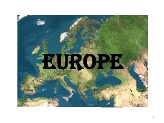
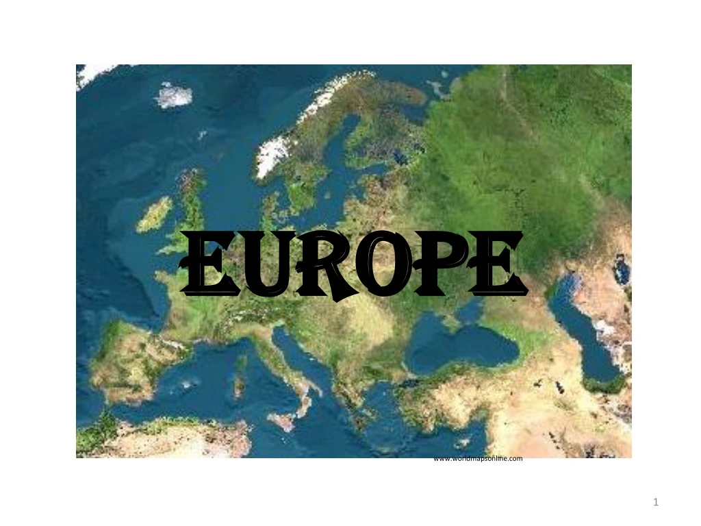
Europe. www.worldmapsonline.com. www.worldmapsonline.com. Describe the location of major physical features and their impact on Europe. Describe the major climates of Europe and how they have affected Europe. SSWG6.A, SSWG6.B. Physical Geography of Europe.

E N D
Europe www.worldmapsonline.com
Describe the location of major physical features and their impact on Europe. • Describe the major climates of Europe and how they have affected Europe. SSWG6.A, SSWG6.B
Physical Geography of Europe • Because of its unique geography and weather patterns, Europe’s landscapes, waterways, and climates vary greatly. The Mediterranean Coast The Alps http://dreaminginkanji.blogspot.com/2012/03/austrian-alps-make-your-vacation-unique.html http://www.theage.com.au/travel/at-warp-speed-on-a-rail-odyssey-20111020-1m9qp.html
Landforms and Resources • Europe is composed of many peninsulas and islands. • Europe’s landforms also include large plains and mountain ranges. www.geology.com
Peninsulas and Islands Always Near the Water • Europe is a large peninsula that lies west of Asia. • Europe also has its own smaller peninsulas: a “peninsula of peninsulas” most places are within 100 miles of the ocean or a sea.
Northern Peninsulas • The Scandinavian Peninsula includes Norway and Sweden. • It is bounded by the Norwegian, North, and Baltic Seas. • Ice Age glaciers removed the topsoil; leaves thin, rocky soil behind. • Glaciers createfjordsin Norway. These are steep U-shaped valleys connected to sea, filled with seawater. • The fjords provide harbors for fishing boats. http://www.websters-online-dictionary.org/definitions/baltic+sea www.eurorivercruises.com
Jutland Peninsula forms large part of Denmark, small part of Germany. • This area has gentle, rolling hills and swampy low areas. http://www.greatbigcanvas.com/view/jutland-peninsula-denmark,1006168/ http://www.danishnet.com/info.php/travel/arhus-25.html
Southern Peninsulas • Iberian Peninsula is home to Spain and Portugal. • Italian Peninsula includes Italy, and extends into the Mediterranean Sea. • It is the boot-shaped peninsula with over 4,700 miles of coastline. www.worldatlas.com www.kids.britannica.com
The Balkan Peninsula is bordered by the Adriatic, Mediterranean, Aegean seas. www.metmuseum.org
Islands of Europe • The larger islands include Great Britain, Ireland, Iceland, and Greenland in the North Atlantic Ocean. • The smaller islands include Corsica, Sardinia, Sicily, and Crete in the Mediterranean Sea. http://www.diplomatic-corporate-services.si/services/embassies-consulates/embassies/ireland-embassie-in-slovenia.php www.destination360.com Corsica Ireland
Mountains and Uplands • The Alps are Europe’s most famous mountain chain! • They cross France, Italy, Germany, Switzerland, Austria, and the Balkans. www.destination360.com www.my.opera.com
Mountains and Uplands • The Alps also cut Italy off from rest of Europe.
Pyreneesmountains block movement from France to Spain and Portugal. • Apenninemountains divide the Italian Peninsula between the east and west coasts. www.worldatlas.com www.awesomestories.com
Balkan Mountains block off the Balkan peninsula. All these mountains block groups of people from contact and contribute to the ethnic diversity of Europe.
Rivers of Europe Moving People, Goods, Ideas • Network of rivers bring people and goods together. • European rivers allow goods to be moved inland from coastal harbors and aids economic growth. • Two major, castle-lined rivers have historically acted as highways: • The Rhine flows north 820 miles from interior to North Sea • The Danube flows east 1,771 miles, through 9 countries, to Black Sea • These and many other rivers connect Europeans and encourage trade and travel.
Fertile Plains The Northern European Plain is one of the most fertile agricultural regions in world. • Curves across France, Belgium, Netherlands, Denmark, Germany, and Poland. • This flat agricultural land produces vast quantities of food. • The flatness of this area has given invaders an open route into Europe. • Other, smaller, fertile farming plains include areas in Sweden, Hungary, and northern Italy’s Lombardy area.
Resources that Shape Europe’s Economy Fueling Industrialization: • Coal and iron ore are needed to create steel for industrialization. • These minerals are found in Belgium, Netherlands, France, Germany, and Poland. • Major industrialized regions include the Ruhr Valley in Germany and parts of the United Kingdom.
Energy • Oil and natural gas are found in the North Sea. • Petroleum is supplied to Europe by Norway, Netherlands, and the United Kingdom. Agricultural Land • 33% of Europe is suitable for agriculture. This is much higher than the average world-wide. www.oilofscotland.org http://spittoon.23andme.com/23andme-and-you/genetics-101/the-origin-of-farming-in-europe-a-view-from-the-y-chromosome/
Climate and Vegetation • Much of Europe has a relatively mild climate because of ocean currents and warm winds. • Eastern Europe has a harsher climate because it is farther from the Atlantic Ocean. http://tiborhartel.blogspot.com/2010/08/protected-areas-in-traditionally-living.html
Westerly Winds Warm Europe A Mild Climate for a Northern Latitude • There is a marine climate on the west coast with warm summers, cool winters. • Areas in this climate zone include Spain, France, Poland, the British Isles, and coastal Scandinavia. • This is from the North Atlantic Drift, a warm-water tropical current that flows by the west coast. • Prevailing westerly winds carry the current’s warmth and moisture inland . www.oceanwxnow.com
Harsher Conditions Inland Not Reached by Westerly Winds • Inland areas have a humid continental climate: cold, snowy winters with warm or hot summers. • Areas with this type of climate include Sweden, Finland, Romania, eastern Poland, Slovakia, and Hungary. • There is adequate rainfall for agriculture here. • Broad, fertile plains were once covered with grasses but today wheat, rye, barley, potatoes, and sugar beets are grown.
Sunny Mediterranean An Appealingly Mild Climate • The Mediterranean climate has hot, dry summers with mild, wet winters. • This climate zone includes Italy, Greece, and southern Spain and France. Special Winds • The Mediterranean coast of France is not protected by mountains like the rest of the area. • This area has a cold, dry winter wind from the north called a mistral. • In other areas, a Sirocco, or a hot North African wind, carries sea moisture or desert dust. http://www.luxurytraveladvisor.com/monaco/makeover-monaco-india-mahdavis-redesign-monte-carlo-beach-hotel-1128
Land of the Midnight Sun Cold, Dark Winters • There is a tundra climate in the far north, in Scandinavia, along Arctic Circle. • This area has permafrost with no trees, only mosses and lichens. • South of tundra is subarctic climate with cold, harsh winters. There is little growth here except stunted trees. • The region’s sunlight varies sharply with long winter nights, and summer days. • The area north of the Arctic Circle is known as the Land of the Midnight Sun. • Some winter days here have no sun, and some summer days have no night.
Human-Environment Interaction • The Dutch and the Venetians altered lands to fit their needs by constructing polders and canals. • Uncontrolled logging and acid rain destroy forests. http://www.flickriver.com/groups/muehlen-mills/pool/interesting/
Polders: Land from the Sea Creating Holland • “God created the world, but the Dutch created Holland.” • To hold growing population, the Dutch reclaimed land from the sea. • 40% of the Netherlands was once under water. • The Dutch built dikes—earthen banks that hold back the sea. • A polder is a piece of land reclaimed by diking and draining land.
Seaworks • Seaworksarestructures like dikes that control the sea’s destructive force. • Terpen are high earthen platforms that provide safe ground during floods. • In 1400s windmills were used to power pumps that drained land. Today, the pumps are powered by electricity. http://nl.wikipedia.org/wiki/Terp A Terpen
Transforming the Sea • Zuider Zee is an arm of North sea that the Dutch turned into a fresh-water lake. • The Dutch built dikes across the waterway in early the 1900s. • The saltwater was eventually replaced by fresh water. • The project added hundreds of square miles of land to the Netherlands, and created Lake Ijsselmeer. http://www.lorentz.leidenuniv.nl/history/zuiderzee/zuiderzee.html
A Centuries-Old Problem: Deforestation The Demand for Wood • Huge areas of Europe fall prey to deforestation annually. • Wood is burned for fuel and used as a building material for ships and houses. www.thinkglobalgreen.org
Acid Rain Strips Forests • In 1960s the Germans noticed that the Black Forest’s trees were discolored and dying, caused by acid rain. • Factories produce sulfur dioxide and nitrogen oxide emissions. • These combine with water vapor to create acid rain or snow. • Strong winds carry the emissions to other areas, affecting one-fourth of Europe’s forests . • Scandinavia suffers heavily due to the direction of prevailing winds.