Download
1 / 25
250 likes | 258 Views
CartoLogic. Supporting Hybrid Geo. Open / Standard / Smart. 2006 CartoLogic Founded 2010 Began open source / Hybrid Geo 2014 First Release of CartoView 2014 Partner Boundless 2017 Office in Indiana. Data.GeoSW.HYBRID. We want to talk about. What we know about open source

E N D
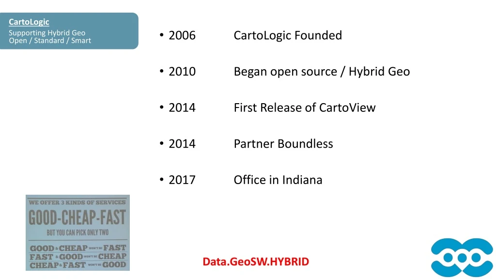
CartoLogic Supporting Hybrid Geo Open / Standard / Smart • 2006 CartoLogic Founded • 2010 Began open source / Hybrid Geo • 2014 First Release of CartoView • 2014 Partner Boundless • 2017 Office in Indiana Data.GeoSW.HYBRID
We want to talk about • What we know about open source • Is it good to use Open source GIS together with my current GIS • What open source software should we use
Who is using Open Source SW Are you using OSS already Open / Standard / Smart • Android • Chrome, Firefox • Apache Servers powering all the internet • Python, PHP, Javascript, HTML, Java
Open Source Software Foundations Help incubate and support open source through the community
Community Code Contribution Open Source Projects are Global Efforts From Many Contributors Open Source Projects are Global Technical Support
Solutions and Products Solutions and Products Open Source GIS is no longer just a tool for GIS Developers Open Source GIS is no longer just a tool for GIS Developers
Legacy vs Emerging Deployment trends for new tech/cloud ready Open / Standard / Smart
The 80 / 20 rule for COTS 80% of users only use 20% of COTS Open / Standard / Smart
Freedom : To Grow Scale your Infrastructure without Penalty Open / Standard / Smart Workgroup Elastic Cloud Single Instance
Freedom : To use Use on any platform any time Open / Standard / Smart
Freedom : To connect Use on any platform any time Open / Standard / Smart
FREEDOM Open / Standard / Smart Use GIS For Free Free Your GIS
This is your typical setup ArcPortal Arc Desktop ArcServer ArcSDE File GeoDatabase
HYBRID Architecture Open / Standard / Smart
QGIS and ArcGIS HybridHYBRIDGeoDatabase Hybrid Desktop Open / Standard / Smart Sync Service
GeoServer and ArcGIS Server Hybrid Hybrid Server Open / Standard / Smart WMS / WFS / WPS ArcGIS REST API Translator Sync Service
GeoNode Open / Standard / Smart Manage Access Configure & Admin Upload data Mapping Server Create Maps Edit
Manage Map Content Manage Map Layers
GeoNode: Edit Layers Edit GeoMetry Edit Attributes
GeoNode: Sharing & Authorization My Content Users Everyone Groups
Coming Soon Dashboard 3D Loaders OSM Extract Collectors … App Market Like Google Apps are configurable No programming needed