Download
1 / 13
130 likes | 265 Views
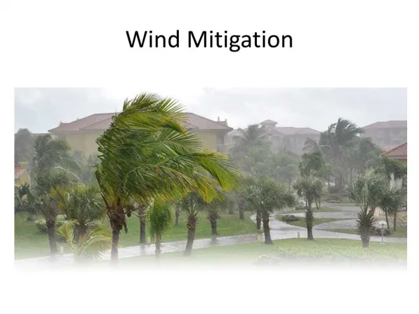
SHARPPening Your Mitigation Awareness. 2011 Ohio GIS Conference Jonathan Sorg, CFM Ohio EMA – Mitigation Branch Jesse Glascock, GISP Stantec Consulting. The Need for a Mitigation Web Portal. How can we better promote mitigation?

E N D
SHARPPening Your Mitigation Awareness 2011 Ohio GIS Conference Jonathan Sorg, CFM Ohio EMA – Mitigation Branch Jesse Glascock, GISP Stantec Consulting
The Need for a Mitigation Web Portal • How can we better promote mitigation? • How can the State help quantify the benefits of past mitigation projects? • How can we help communities improve the quality of their local mitigation plans? • What is the best way to incorporate local hazard mitigation plans into the State Hazard Mitigation Plan?
Turning the Ideas into Reality • Who can we get to help pay for this? • Pre-Disaster Mitigation grant • Who can help build it? • Stantec Consulting
State Hazard Analysis Resource and Planning Portal (SHARPP) • What is SHARPP? • Premiere web-based system that captures and disseminates state and local hazard mitigation planning and project information • What’s it do? • Helps the state satisfy mitigation planning requirements • Assists with the preparation and examination of Local Hazard Mitigation Plans (LHMPs) • Publicizes mitigation projects and quantifies annual benefits • Helps the state to monitor properties acquired with HMA funds • Provides a tool to spatially analyze and disseminate mitigation information • Allows for future Risk MAP integration
AOMIs and Risk MAP • Risk MAP is FEMA’s latest initiative to take Map Modernization to the next level • How to get from mapping to mitigation projects… • AOMI = Area of Mitigation Interest • Dataset collected during Risk MAP project • Opportunity for public input
Presentation Assumptions • The application is 100% complete, however… …not fully populated • Three tiers of access in SHARPP • Tier 1 – public access • Tier 2 – password controlled data entry access • Tier 3 – administrator access to all data and functionality
Google Maps • Using SQL Server 2008 R2’s [geography] data type, the Google API facilitates the creation of AOMI’s, Mitigation Actions, and Mitigation Projects
Work Flow Tier 2 & 3 Tier 2 & 3 Tier 1 AOMI 1 AOMI 2 AOMI 4 AOMI 3 Mitigation Project 2 Mitigation Action 1 Mitigation Action 1
Google Maps API Family • MarkerClusterer • Chart Tools
The “BIG” Picture • Natural progression of community planning becoming mitigation actions that become projects • Project effectiveness is quantified and publicized in SHARPP • Monitoring the effectiveness