Download
1 / 11
130 likes | 288 Views
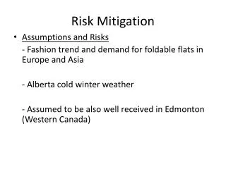
Mitigation. R. Scott Simmons State Hazard Mitigation Officer Division of Homeland Security and Emergency Management. Our Partners in Preparedness:. Recommended Building Height. Alaska’s Uniqueness. School. Generator. Red Devil. A Myriad of Complexities in Alaska.

E N D
Mitigation R. Scott Simmons State Hazard Mitigation Officer Division of Homeland Security and Emergency Management Our Partners in Preparedness:
Recommended Building Height Alaska’s Uniqueness School Generator Red Devil
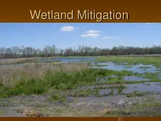
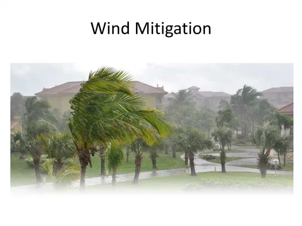
A Myriad of Complexities in Alaska • We have a great number of natural hazards • Typical: Flood, Erosion, Wildfire, Earthquake, and Landslide, High Winds (Hurricane class), Blizzards, Tsunamis, Avalanches, Storms, Sea Storm Surges, Extended Extreme Cold Weather, Riverine Ice Break-up and others . . . .
Austere and Unique Weather and Living Conditions • Successive Erosion Protection Attempts
Coastal Storm Affected Communities: Afognak, Akhiok, Akutan, Anchor Point, Angoon, Atka, Barrow, Belkofski, Brevig Mission, Chefornak, Chenega Bay, Chignik, Chignik Lagoon, Chignik Lake, Clark's Point, Coffman Cove, Cold Bay, Cordova, Craig, Deering, Dillingham, Diomede*, Edna Bay, Egegik, Elfin Cove, Elim, False Pass, Gambell, Golovin, Goodnews Bay, Gustavus, Hollis, Homer, Hoonah, Hooper Bay, Hydaburg, Hyder, Ivanof Bay, Juneau, Kachemak, Kake, Kaktovik, Karluk, Kasaan, Ketchikan, King Cove, King Island, King Salmon, Kipnuk, Kivalina, Klawock, Klukwan, Kodiak, Kongiganak, Kotlik, Kotzebue, Koyuk, Kwigillingok, Larsen Bay, Manokotak, Mekoryuk, Metlakatla, Naknek, Nanwalek, Nelson Lagoon, Newtok, Nightmute, Nikolaevsk, Nikolski, Ninilchik, Nome, Nuiqsut, Old Harbor, Ouzinkie, Pauloff Harbor, Pelican, Perryville, Petersburg, Pilot Point, Platinum, Point Baker, Point Hope, Point Lay, Port Alexander, Quinhagak, Saint George, Saint Michael, Saint Paul, Sand Point, Savoonga, Saxman, Scammon Bay, Selawik, Seldovia, Seward, Shaktoolik, Shishmaref, Sitka, Skagway, Soldotna, Solomon, South Naknek, Stebbins, Tatitlek, Teller, Tenakee Springs, Thorne Bay, Togiak, Toksook Bay, Tununak, Twin Hills, Tyonek, Ugashik, Unalakleet, Unalaska, Unga, Valdez, Wainwright, Wales, Whale Pass, Whittier, Wrangell, Yakutat. * Bold type: Denotes severe erosion problems
Needs • GIS based Hazard Maps • Scientific determination of continued or expected effects • Long-Term Coastal Erosion Protection Methods