Download
1 / 18
180 likes | 183 Views
Evaluating Handheld GPS Receivers for Recording Archaeological Survey Data. GEO444 – Practical GPS William Eichmann and Jake Reidel. Archaeological Survey Data.

E N D
Evaluating Handheld GPS Receivers for Recording Archaeological Survey Data GEO444 – Practical GPS William Eichmann and Jake Reidel
Archaeological Survey Data • Survey areas: agricultural field boundaries, areas surveyed, surface conditions, transect interval, often visible on satellite images, polygons, certainty=10m. • Individual artifacts: “isolated finds” reflect diffuse activities across landscape, diagnostic artifacts, points, certainty=2-5m. • Sites: concentrated areas of material culture, amorphous and fuzzy boundaries, comprised of individual artifacts, polygons, certainty=10m.
Time and Cost • How much time does the method take relative to other methods? • How does it compare with other methods in terms of accuracy?
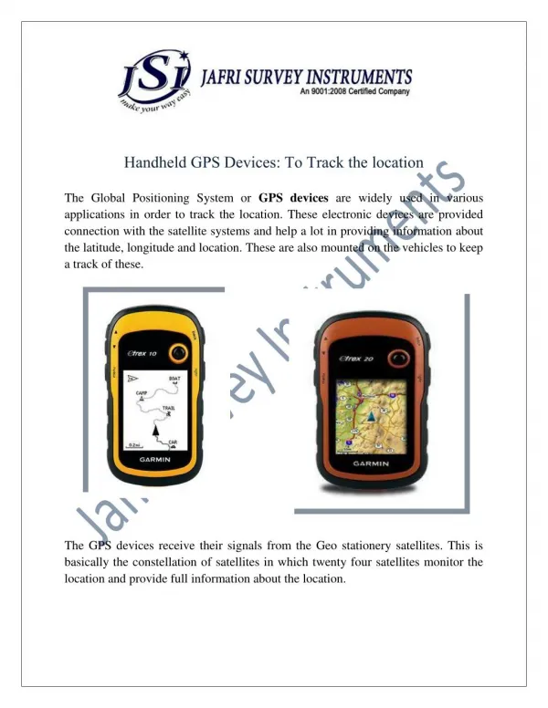
Methods • Vehicle • 2 recievers Garmin Etrex and Vista • Digital camera • computer • Software: GPS Babel, Google Earth pro. • Date of fieldwork: 2008.05.05 • Time of fieldwork: 16:47-18:50 • Waypoints: measured for 1 min. • Tracks measurement frequency: 5 sec. (p14), 30sec (p12)
Discussion • Both waypoints/routes and tracks are sufficiently accurate and precise for defining field and site boundaries. • Tracks take less time and provide better accuracy with similar precision to waypoints/routes • Tracks may be better suited to recording amorphous shapes of sites • Record individual artifacts as waypoints. • Tall vegetation masks satellites
Conclusion and Improvements • Survey areas: collect several control points and define fields based on satellite images. • Individual artifacts: record as waypoints • Sites: record with tracks • Equipment: use a GPS receiver/data collector with loaded background images.