Download
1 / 35
350 likes | 355 Views
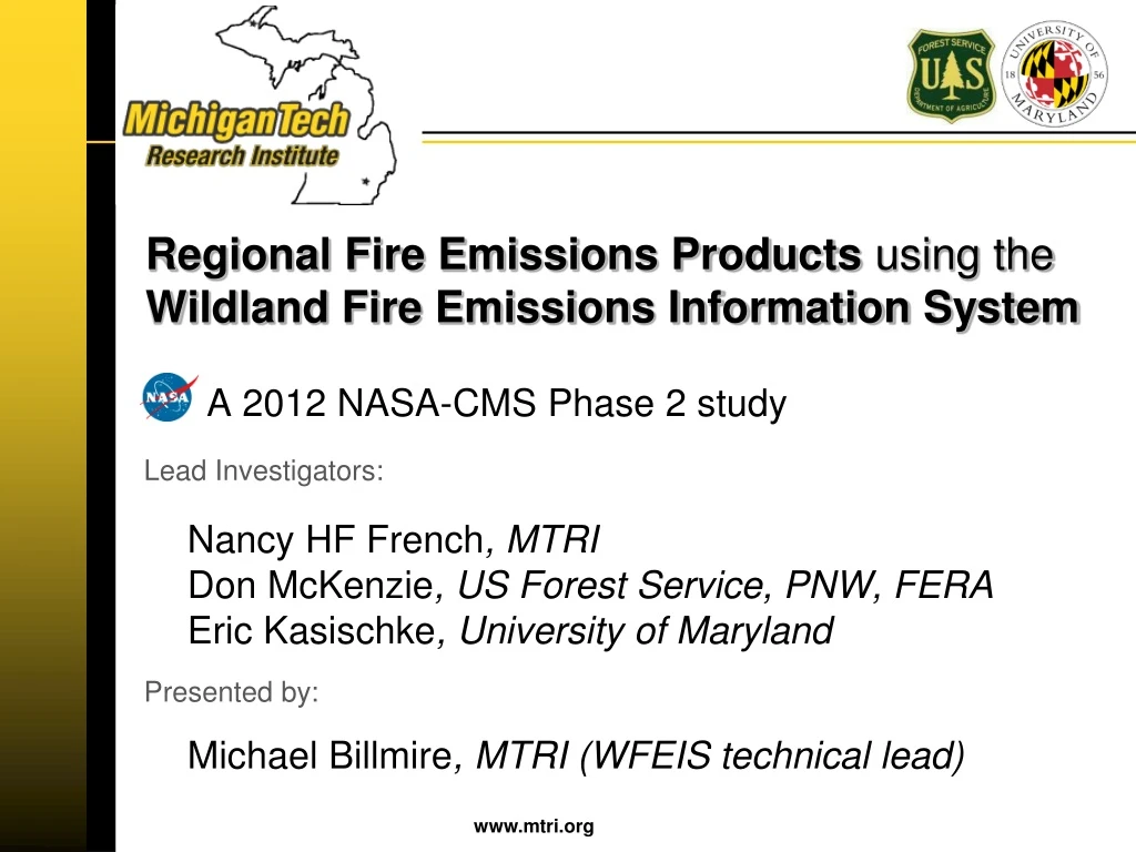
Regional Fire Emissions Products using the Wildland Fire Emissions Information System. A 2012 NASA-CMS Phase 2 study Lead Investigators: Nancy HF French , MTRI Don McKenzie , US Forest Service, PNW, FERA Eric Kasischke , University of Maryland Presented by:

E N D
Regional Fire Emissions Products using the Wildland Fire Emissions Information System A 2012 NASA-CMS Phase 2 study Lead Investigators: Nancy HF French, MTRIDon McKenzie, US Forest Service, PNW, FERAEric Kasischke, University of Maryland Presented by: Michael Billmire, MTRI (WFEIS technical lead)
Modeling Wildland Fire Emissions Fuel moisture
Modeling Wildland Fire Emissions: WFEIS Fuel moisture • Burned area products provide: • burn area • location -> tells us fuel loadings, fuel moisture • day -> tells us fuel moisture • Options: • MODIS MCD64A1 • MTBS burn perimeters • Daily progression (MODIS Active Fire interpolated to MTBS) • SmartFire 2011 NEI • Agricultural NEI (McCarty)
Modeling Wildland Fire Emissions: WFEIS Fuel moisture Fuel type (from 1-km FCCS map) linked to stratified fuel loadings (biomass)
Modeling Wildland Fire Emissions: WFEIS Fuel moisture • Daily gridded weather • Daily fuel moisture interpolated from RAWS data from 1986 through 2013 at 40-km scale for all of CONUS
Modeling Wildland Fire Emissions: WFEIS Fuel moisture Consumption & Emissions model (CONSUME)
Modeling Wildland Fire Emissions: WFEIS Fuel moisture
Main Project Objectives • Improve WFEIS • Improve inputs: fuel loading (biomass), fuel moisture • Develop methodology for uncertainty measurement for emissions estimations • Produce regional emissions estimates • Compare these estimates to CASA GFED estimates
Objective Improve WFEIS inputs
Refining the fuels map for CONUS (Co-I McKenzie) Each instance of a class (cell) is assigned a unique set of fuel loadings. Biomass varies across instances of each class aggregated classes
Tree cover Non-tree cover Bare ground Refining the fuels map for CONUS (Co-I McKenzie) We can use remote sensing products to help to more appropriately characterize canopy fuels and thus provide fuel load variation within a single fuel type continuous values
Refining the fuels map for CONUS (Co-I McKenzie) Result: The new 1-km MODIS-enhanced FCCS Canopy fuel loadings in forested fuelbeds are generally lower. Exceptions in northern Rocky Mts, Northeast, Gulf coast, upper Michigan. As expected, spatial variation is more “realistic” in MODIS-enhanced fuel layer.
Task: Improved Fuel Moisture Inputs Before: -by Level II CEC Ecoregion Now: -by 40 km grid cell (interpolated from RAWS) “Improved” = • better spatial resolution • updated through 2013
Develop methodology for assessing uncertainty • Achievements: • Developed a framework for estimating the various components of WFEIS model uncertainty • Mathematically rigorous documentation of the (~60) Consume regression equations • Identified all possible sources of error: • Coefficient error for each regression-based prediction equation • Input measurement error (e.g. measurements from field work) • Classification error (e.g. accuracy of spatial data)
Provide Assessment of Uncertainty in Emissions Estimates • Achievements: • Conducted case studies on two of Consume’s regression-based consumption equations • The two studies were done for the shrub and for the western woody fuel strata • These examples demonstrated both sample-based and Monte Carlo approaches to uncertainty and sensitivity analysis.
Objective Produce regional emissions estimates
WFEIS Emissions Estimates All available at: http://wfeis.mtri.org/media/model_outputs
Region 11 – Mediterranean California This is the only ecoregion in the continental US with a Mediterranean climate – summers are hot and dry, and winters are mild. Droughts are common, with precipitation averaging from 200-1,000 mm per year. With irrigation, these features create a prime environment for high value agriculture. Native vegetation is dominated by shrubs, with patchy areas of grasslands and forests of evergreen and deciduous trees. 11.1 Mediterranean California
Objective Compare to CASA GFED estimates
GFED comparison to WFEIS (with collaborator Collatz) • Comparison between GFEDv3 (published emissions) and WFEISv0.3 for TENA/CONUS 2001-2010 • GFEDv3 is the fire emissions module in CASA-GFED, one of the models used in the CMS-Flux pilot for terrestrial C flux estimates
GFED comparison to WFEIS (with collaborator Collatz) • Summary of differences between major model components
GFED comparison to WFEIS (with collaborator Collatz) • Modeled emission results comparison • Carbon: GFED ~50% of WFEIS
GFED comparison to WFEIS (with collaborator Collatz) • Modeled emission results comparison • CO2: GFED ~95% of WFEIS
The Road Ahead • Project is complete, BUT we are currently seeking funding for the continued development/maintenance of WFEIS and are eager to get to work on the following important tasks: • Full uncertainty characterization of the CONSUME model • Started under this project; statistical framework established and demonstrated test cases for several of the ~60 consumption equations • Once complete, the end goal is for WFEIS outputs (and any other modeling effort making use of the CONSUME model) to deliver uncertainty estimates
The Road Ahead • Project is complete, BUT we are currently seeking funding for the continued development/maintenance of WFEIS and would love to get to work on the following important tasks: • Integrate information on land disturbance from remote sensing and other geospatial products to update dynamically the representation of fuel loadings in WFEIS
The Road Ahead • Project is complete, BUT we are currently seeking funding for the continued development/maintenance of WFEIS and would love to get to work on the following important tasks: • Develop international versions of WFEIS
Project Team Michigan Tech Research Institute Nancy HF French, PI Michael Billmire, Arthur Endsley, Nicholas Molen, Jessica McCarty, Reid Sawtell, Amanda Grimm, Amy Howes, Kim Mobley USFS Fire and Environmental Research and Applications and University of Washington Don McKenzie, Co-I Roger Ottmar, Susan Prichard, Rob Norheim Eric S Kasischke, Co-I, UMd Jim Collatz, Collaborator, GSFC
GFED comparison to WFEIS (with collaborator Collatz) • Burned area comparison • GFED 2% higher than WFEIS
GFED comparison to WFEIS (with collaborator Collatz) • Fuel available comparison • GFED 55% lower than WFEIS
GFED comparison to WFEIS (with collaborator Collatz) • Combustion completeness comparison • GFED 15% higher than WFEIS
GFED comparison to WFEIS (with collaborator Collatz) • Emission factors comparison • Carbon: GFED 5% lower than WFEIS • CO2: GFED 80% higher than WFEIS