Download
1 / 16
160 likes | 312 Views
Weather Briefing for The 2013 Presidential Inauguration. NOAA/ National Weather Service Baltimore/Washington Weather Forecast Office January 20, 2013 0300 UTC/10:00 PM EST Heather Sheffield Meteorologist Intern. Outline. Weather Hazards Forecast Overview Forecast Tables and Graphs

E N D
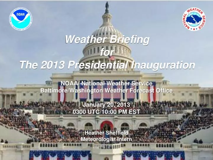
Weather BriefingforThe 2013 Presidential Inauguration NOAA/ National Weather Service Baltimore/Washington Weather Forecast Office January 20, 2013 0300 UTC/10:00 PM EST Heather Sheffield Meteorologist Intern
Outline • Weather Hazards • Forecast Overview • Forecast Tables and Graphs • Reagan and Dulles METAR & TAF • Illumination Data • Space Weather • Dispersion Modeling • Summary of Weather Hazards • Briefing Schedule NWS Baltimore/Washington Weather Forecast Office
Weather Hazards2000 UTC 21 Jan – 0000 UTC 22 Jan 2013for Washington, D.C. Monday: Scattered late afternoon rain or snow showers (30%) and colder; chance of snow squalls between 4:00 PM and 8:00 PM • Mostly Cloudy, highs in the mid 40s • Upper level disturbance could produce an organized band of snow squalls that could produce locally 1 inch of snow • Small Craft Advisory starts at Noon and continues through Tuesday • Monday Night: Chance of snow showers before midnight, becoming mostly clear with lows in the lower 20s. Gusty NW winds 20-30 mph producing windchills in the lower teens. NWS Baltimore/Washington Weather Forecast Office
Forecast Overviewfor Washington, D.C. Normals: Hi: 43F Lo: 28F NWS Baltimore/Washington Weather Forecast Office
Weather Element Forecastfor Washington, D.C. NWS Baltimore/Washington Weather Forecast Office
Weather Element Forecastfor Washington, D.C. NWS Baltimore/Washington Weather Forecast Office
KDCA METAR & TAFRonald Reagan National Airport METAR KDCA 210152Z 34013G17KT 10SM CLR 06/M13 A3006 RMK AO2 SLP179 T00611133 $ TAF KDCA 202332Z 2100/2124 32014G20KT P6SM SKC FM210200 34008KT P6SM SKC FM210700 35004KT P6SM FEW250 FM211400 14005KT P6SM BKN250 FM211700 17009KT P6SM BKN250 NWS Baltimore/Washington Weather Forecast Office
KIAD METAR & TAFDulles International Airport METAR KIAD 210152Z 32011KT 10SM CLR 04/M13 A3004 RMK AO2 SLP175 T00441128 TAF KIAD 202332Z 2100/2206 32011KT P6SM SKC FM210500 35005KT P6SM FEW250 FM211300 13004KT P6SM SCT250 FM211600 16008KT P6SM BKN250 FM212200 20009KT P6SM BKN050 FM220000 23012G24KT P6SM SCT025 FM220200 28012G24KT P6SM BKN025 FM220300 30013KT P6SM BKN250 NWS Baltimore/Washington Weather Forecast Office
Illumination Data Washington, D.C. NWS Baltimore/Washington Weather Forecast Office
Space Weather Summary/Forecast 1640 1644 1638 1641 • Summary/Forecast Details: • Region 1654 continues to decay and will begin to rotate off the disk on 21 January. • Currently quiet across S and G scales • Overall threat of significant space weather activity is low 1642 Geomagnetic Storms Solar Flare Radio Blackouts Joint NOAA/USAF Space Weather Briefing Jan. 21, 2013 - 0300 UTC
Phenomena Reference/Impacts • Solar Flare Radio Blackout (R Scale): • No advance warning • Effects lasts for 10’s of minutes to several hours • Impacts High Frequency (HF) communication on the sunlit side of the Earth • First indication significant S and G scale activity may be possible • Solar Radiation Storm (S Scale): • Warnings possible on the minutes to hours time scale • Elevated levels can persist for several days • Impacts to the health and operation of satellites and International Space Station operations and crew • Impacts High Frequency communication in the polar regions, affecting commercial airline operations • Geomagnetic Storm (G Scale): • Advance notice possible given coronal mass ejection (CME) transit times from Sun to Earth range from just under a day to several days (CMEs being the main driver of significant storms) • In extreme storms, impacts to power grid operations and stability • Impacts to Global Positioning System (GPS) accuracy and availability • Driver of aurora; severe to extreme storms may cause aurora to be visible over most of the lower 48 Joint NOAA/USAF Space Weather Briefing Jan. 21, 2013 - 0300 UTC Complete NOAA Space Weather Scale information available online at: http://www.swpc.noaa.gov/NOAAscales/
HYSPLIT DISPERSION MODEL 1/21/13 Release at 2300Z 21 Jan 2013 (NAM) Release at 1700Z 21 Jan 2013 (NAM) NWS Baltimore/Washington Weather Forecast Office
NOAA/NWSBaltimore/Washington http://www.erh.noaa.gov/washington Always Up-to-date NWS Baltimore/Washington Weather Forecast Office
Summary • Mostly clear skies overnight. • Inauguration Day: Mostly cloudy and colder with scattered late afternoon rain or snow showers, and a chance of snow squalls between 4:00 and 8:00 PM • This could produce local accumulations of snow from a dusting to less than an inch. • Monday Night: Chance of snow showers before midnight, then becoming mostly clear and cold with lows in the lower 20s and gusty northwest winds to 30 mph; wind chills in the lower teens NWS Baltimore/Washington Weather Forecast Office
Briefing Schedule • T-7 days: Tue Jan 15 1500 EST • T-6 days: Wed Jan 16 1500 EST • T-4 days: Thu Jan 17 1500 EST • T-3 days: Fri Jan 18 1500 EST • T-2 days: Sat Jan 19 1500 EST • T-1.5 Day: Sat Jan 19 2200 EST • T-1 Day: Sun Jan 20 1500 EST • T-14 hours: Sun Jan 20 2200 EST • T-12 hours: Mon Jan 21 0000 EST • T-9 hours: Mon Jan 21 0300 EST (if needed) • T-6 hours: Mon Jan 21 0600 EST • T-3 hours: Mon Jan 21 0900 EST • T-1 hour: Mon Jan 21 1100 EST • T+2 hour: Mon Jan 21 1400 EST • T+5 hour: Mon Jan 21 1700 EST • Other times / dates as needed or requested NWS Baltimore/Washington Weather Forecast Office
Next Scheduled Briefing 0500 UTC/Midnight EST Mon 21 Jan 2013 Thank you for your participation! NWS Baltimore/Washington Weather Forecast Office