Download
1 / 10
100 likes | 505 Views
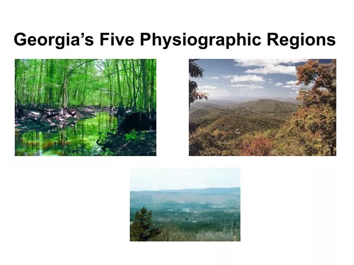
Georgia’s Five Physiographic Regions. Georgia State Features. Georgia’s land area covers 58,910 square miles Georgia is the largest state east of the Mississippi River Length- 315 miles, Width- 250 miles Geographic center of the state is Twiggs Co.

E N D
Georgia State Features • Georgia’s land area covers 58,910 square miles • Georgia is the largest state east of the Mississippi River • Length- 315 miles, Width- 250 miles • Geographic center of the state is Twiggs Co. • 159 counties; largest- Ware Co., smallest- Clarke Co. • Highest point of elevation is Brasstown Bald (4,784 feet above sea level)
Physiographic Region A physiographic (physical) region is an area of land based on similarities in land formations, elevation, minerals, soil, and other characteristics.
The Five Physiographic (physical) Regions of Georgia • Appalachian Plateau (Plateau) • Ridge and Valley • Blue Ridge • Piedmont • Coastal Plain
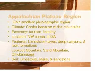
Appalachian Plateau (Plateau) • Location- far northwest corner of the state • Characteristics- smallest, consists of sedimentary rock, flat-top mountains, Sand Mountain and Lookout Mountain • Climate- cool summers, cold winters with snow • Agriculture- pasture, corn, soybeans • Industries- mining, forestry • Only region in which coal is found
Ridge and Valley • Location- northwest/central part of the state between Plateau and Blue Ridge regions • Characteristics- low, open valleys and narrow hills • Climate- warm summers, cool winters • Agriculture- corn, wheat, cotton • Industries- wood products, carpet and textile plants (Dalton, Georgia – Carpet Capital of U.S.A.)
Blue Ridge • Location- northeast corner of the state • Characteristics- mountains, forests, lakes most scenic area of Georgia • Climate- rainy, moist / mild summers and winters • Receives the most rainfall • Industries- hardwood, timber, hydroelectric plant, recreation, tourism
Piedmont • Location- between the Fall Line and the mountain regions of the north • Characteristics- gently sloping hills, 30% of the state, most populated region of Georgia. Contains ½ of the state’s population. Cities include Atlanta, Athens, Augusta, Columbus, Macon • Agriculture- soybeans, cotton • Industries- wood products, poultry, service industries, tourism, CNN, Coca-Cola, UGA
Coastal Plain • Location- south of the Fall Line, extends to Atlantic Ocean • Characteristics- largest of the 5 physical regions, covers 60% of Georgia. Consists of flat land, swamp, marsh, sand, red clay. • Climate- hot summers, moderate winters • Agriculture- pine trees, peanuts, peaches, cotton, tobacco, onions • Industries- farming, lumber, fishing, shipping port, recreation • THIS IS WHERE WE LIVE!!!!!!!!!!!!!!!!!!!!!!!!!!!!!