Download
1 / 28
280 likes | 308 Views
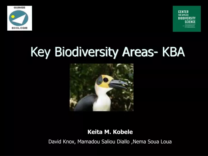
Key Biodiversity Areas- KBA. Keita M. Kobele David Knox, Mamadou Saliou Diallo ,Nema Soua Loua. OVERVIEW. Project area Prioritization Preview methods The concept of KBA Outcomes Analysis Next steps acknowledgements. The Republic of Guinea. Coordonates : 9°30′N 13°43′W

E N D
Key Biodiversity Areas- KBA Keita M. Kobele David Knox, Mamadou Saliou Diallo ,Nema Soua Loua
OVERVIEW • Project area • Prioritization • Preview methods • The concept of KBA • Outcomes • Analysis • Next steps • acknowledgements
Coordonates : 9°30′N 13°43′W • Area : 245,857 km² • Encompasses the water source for the Niger, Senegal, and Gambie Rivers, with a coastline (320 km) facing the Atlantic Ocean. • Natural resources: bauxite, iron ore, diamonds, gold, uranium, hydropower, fish, salt as well agricultural resources • The country possesses over 30% of the world's bauxite reserves and is the second-largest bauxite producer. The mining sector accounted for about 75% of exports in 1999. • Population: 9,690,222 (July 2006 est.) • Population below poverty line: 47% • Environment agreement : party to: Biodiversity, Climate Change, Climate Change-Kyoto Protocol, Desertification, Endangered Species, Hazardous Wastes, Law of the Sea, Ozone Layer Protection, Ship Pollution, Wetlands, Whaling signed, but not ratified: none of the selected agreements
The Guinean Forest: Characteristics http://www.biodiversityhotspots.org/xp/Hotspots/west_africa/ • Hotspot Original Extent (km2) : 620,314 • Hotspot Vegetation Remaining (km2): 93,047 • Endemic Plant Species: 1800 • Human Population Density (people/km2): 137 • Area Protected (km2) : 108,104 while west Africa is important, it does not tell us where to work on the ground = identify priority sites for conservation (e.g KBAs).
Threats • Habitat lost • wood cutting • Cultivation • Mining/Industrial operation • Bushfire • Building/roads • Illegal hunting and breeding sites disturbance Human population increase
Prioritization for biodiversity conservation • resources for conservation are limited • where to act first ?? • Focus: high irreplaceability and high vulnerability
Preview method 1:West African Priorities Setting workshop • Experts identified 13 broad regions across Guinea (~ 2.54 % of Guinea surface area) based on 7 taxonomic groups .
Strength and limitations • Excellent in that they build consensus • but they lack comprehensive data and objective criteria. This leaves 2 major limitations: 1) they are not transparent or repeatable 2) given there are no quantitative criteria or targets it makes monitoring any conservation impossible
Preview method 2Important Bird Areas- IBA program • 18 IBAs covering 2.9% of the Guinean land surface
Strength and limitations • Provides the data-driven approach with quantitative, repeatable criteria. • Major limitation: Only focuses on a single taxon (birds)
The KeyBiodiversity Areas concepts • Key Biodiversity Areas : • sites of global significance for biodiversity conservation • data-driven, • multi-taxonomic approacha • guide conservation investment and interventions • Criteria: presence of: • globally threatened species according to the IUCN Red List: Vulnerable, Endangered and Critically Endangered • restricted range species; • globally significant congregations; • Bioregionally-restricted species • Taxonomic groups covered: Reptiles, Amphibians, Mammals, Birds, Plants, Crustaceans,
Methods • Definition of the Guinean IUCN redlist: CR, EN, VU • Base: BirdLife International one taxonomic approach and extended the others taxonomic groups • synthesizing threatened species distributional data • collating and analysing these data to identify Key Biodiversity Areas • Input from scientists with core understanding of Guinean Biodiversity
Outcomes • 28 KBAs identified, representing 5 % of Guinea surface area • 72 Globally Threatened Species assessed
SENEGAL GUINEA BISSAU MALI COTE D’IVOIRE SIERRA LEONE LIBERIA KBAs indentified within Guinea
GUINEA BISSAU Guinea Low Land region I
SIERRA LEONE Guinea Low Land region III
GUINEA BISSAU SENEGAL Central Guinea
MALI COTE D’IVOIRE SIERRA LEONE Upper Guinea
COTE D’IVOIRE LIBERIA The Forest Region of Guinea
some sites Les Monts Nimba, an AZE site 6 endemic Critically Endangered and Endangered species: Arthroleptiscrusculum, Hipposideroslamottei, Hyperoliusnimbae, Micropotamogalelamottei, Nimbaphrynoidesliberiensis, Nimbaphrynoidesoccidentalis • Le Massif de Ziama, Diécké and Pic de fon also hold strongholds of many Afromontane Upper Guinea Forest Endemics
Analysis Taxonomic analysis: Criteria analysis: KBAs’ Status analysis: Total protected: 21 => 75%, but…
NEXT • Update the assessment particularly for freshwater taxa • Engage Private sector in KBAs • Rio Tinto :Forest Guinea (biological surveys) • Alcoa: Maritime Guinea (biological surveys, other data gathering) • BHP Billinton - Guinea ( biological surveys, data gathering) • Define accurate boundaries for these KBAs = GIS PROJECT …
Our Project: Conservation GIS in Guinea Objective: Make available the Conservation GIS data and provide technical assistance to conservation projects in Guinea Pilot project: Forests changes analysis in KBAs • Phase 1: Data capture, storage • Phase 2: Changes analysis and results • Phase 3: Outputs : posters, web site…
Acknowledgments • Center of Applied Biodiversity Science , CI; • Guinée Ecologie • Dptmt “Nature Conservation”, Guinea • SCGIS • ESRI • All those who are not listed
THANK YOU Biodiversity Conservation is linked to human livelihoods'