Download
1 / 8
80 likes | 144 Views
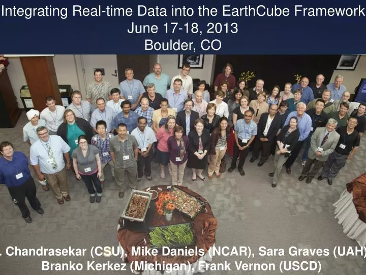
Integrating Real-time Data into the EarthCube Framework June 17-18, 2013 Boulder, CO. V. Chandrasekar (CSU), Mike Daniels (NCAR), Sara Graves (UAH), Branko Kerkez ( M ichigan), Frank Vernon (USCD). June 17-18, Boulder, CO 76 registered participants.

E N D
Integrating Real-time Data into the EarthCube Framework June 17-18, 2013 Boulder, CO V. Chandrasekar (CSU), Mike Daniels (NCAR), Sara Graves (UAH), BrankoKerkez (Michigan), Frank Vernon (USCD)
a. Key science drivers/science questions identified during your workshop • How can we better use real-time data to understand the processes of high impact events or phenomenon and translate that knowledge into better response procedures? • Hurricane track and intensity forecasting; tornado and severe convective storm warning • Earthquake and tsunami prediction; hydrologic extremes, e.g. flash floods • Early detection of harmful algae blooms; prediction of large solar flare events • How can we better understand scientifically compelling phenomenon with adaptive real-time, feedback-driven science? • Dynamic sampling strategy to collect, analyze, and respond to real-time data • Using models in conjunction with adaptive strategies to improve sampling • Real-time awareness of instrument status to support rapid response to issues and improve data quality • Tools that enable broad communication and collaboration during real-time mission oriented research • Detection and discovery of new, unexpected phenomena that need to be explored further
b. Key challenges facing your scientific community • Interoperable streaming protocols and metadata (including consistent and accurate time stamping and spatial coverage) for real-time data streams across the geosciences domain do not exist. • There are few, if any, mechanisms and processes in place to assess the quality of real-time geosciences data. • Visualization tools for interdisciplinary real-time data of varying spatial and temporal coverage need to be developed. • Valuable real-time data streams are often not integrated with downstream decision support systems used by emergency managers, etc. • Real-time data streams need better connections to prediction models and/or systems that produced derived products. • The scientific community generally does not properly address real-time data at the same level of archival data or Big Data in terms of data management plans and other data-focused initiatives.
c. Key needs identified during your workshop • Improved community infrastructure: access to improved communication infrastructure, on-demand computing and protocols for data exchange • Metadata generation for real-time data streams and tracking of provenance • Real-time signal processing, calibration, and quality control: existence of standardized software libraries • Tools for integrating, displaying and assimilating real-time observations: from differing geospatial and temporal resolutions • Playback tools for re-creation and analysis of phenomena and the observed environment of past experiments • Frameworks and secure mechanisms for remote operation of instruments • Real-time visualization of observations made at different temporal and spatial scales • Data discovery and access including data subsetting of large bandwidth streams • Decision support tools and integration with tools for emergency management • Developing networks for dissemination - including social media, apps, and user driven interfaces/portals including citizen science, crowd sourcing and open data access
d. Action Items to move the community forward, and how EarthCube can help • Community Development: • Assess system interoperability between geosciences real-time data providers and users • Establish best practices with scientists and CI experts across domains engaged in r/t data • Share knowledge, tools and approaches to real-time data experts across the geosciences • Refine requirements needed for real-time data streams to connect to downstream decision-making tools and processes • Increase awareness of the real-time data streams that are in existence among the geosciences community to facilitate new uses of these data • Prototyping: • Pilot projects, demonstration testbeds, identification and development of real-time data capabilities • Develop of a prototype framework for real-time control of instruments that can be more generally applied to the geosciences • Respond to missing capabilities such as real-time quality control mechanisms, real-time metadata standards or real-time visualization tools that span geosciences data of varying spatial and temporal domains • Begin work to develop a “universal real-time infrastructure” where data streams are captured, organized and made quickly available, making it much more likely that they will be adopted by stakeholders who have noticed a new phenomena and want to examine it in the context of current events