Download
1 / 13
130 likes | 136 Views
Explore the use of autonomous systems for monitoring and collecting data on sea ice, including position, temperature, pressure, atmospheric chemistry, and ocean profiles. Discover their potential to improve the understanding of sea ice dynamics, climate, and the cryosphere.

E N D
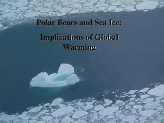
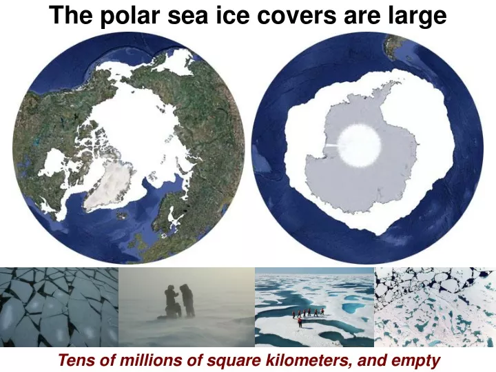
The polar sea ice covers are large Tens of millions of square kilometers, and empty
Sea ice based autonomous systems • International Arctic Buoy Program • Intnl.Program for Antarctic Buoys • Operating since 1970’s • Position, temperature, pressure • Many deployed every year • Surface or air deployed Over a hundred position, temperature, and pressure buoys
Sea ice based autonomous systems The next best thing to being there
Basic buoy • Air temperature • Barometric pressure • Position Augmented buoy • Wind speed • Humidity • Can do multiple levels • Incoming radiative fluxes Atmosphere Fundamental meteorological parameters
Atmospheric chemistry • Ozone • Carbon dioxide • Bromine monoxide • Position • Air temperature • Wind speed • Humidity • Orientation • Web cam Ozone, carbon dioxide, and BrO
Spectral solar radiation • Measurements of • Spectral incident • Spectral reflected • Spectral transmitted • All-wave incident, reflected • Plus a webcam Incident, reflected and transmitted spectral irradiance
Sea ice mass balance • Position • Air temperature • Barometric pressure • Ice temperatures • Upper ocean temperatures • Snow accumulation and melt • Ice growth • Surface and bottom ice melt Ice motion, snow, ice growth, surface and bottom melt
Different methods • Fixed locations • Up and down • Profiles of ocean properties • Temperature • Salinity • Currents • Biochemical • Optical Ocean profiles Vertical profiles of ocean properties
Ocean fluxes High temporal resolution of heat, salt, momentum fluxes
Webcams Locations: May 15 June 6 July 24 August 16 A picture is worth a thousand words
Integrated sites • North Pole and Beaufort Gyre Observatories • Atmosphere, ice, and ocean • Air temp., pressure, humidity, wind velocity • Radiometers • Sea ice mass balance • Ocean fluxes • Ocean profiles of temperature, salinity • Web cams • Getting a long time series 1 + 1 + 1 = 111
Integrated campaigns & ICEPOD PIPERS – Polynyas and Ice Production in the Ross Sea Inbound Stations Fully capture the space/time evolution of air-ice-ocean interactions in the Ross Sea Outbound Stations Buoy Array Deployments April – June 2017 Spatial integration of autonomous systems
Potential partners Key autonomous issues • What data to measure • Where to measure • Where to deposit the data • When to deposit the data • How to coordinate the effort • International Arctic Buoy Program • Internation Program for Antarctic Buoys • Southern Ocean Observing System • Arctic Observing Network • Climate and Cryosphere Identify, communicate, coordinate, disseminate