Download
1 / 5
60 likes | 259 Views
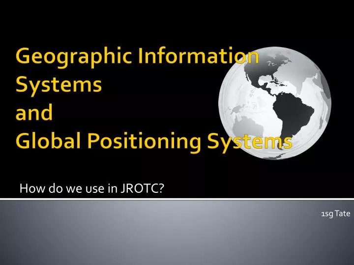
How do we use in JROTC?. Geographic Information Systems and Global Positioning Systems. 1sg Tate. Geographic Information Systems (GIS). The days of globes in our class rooms have been replaced by electronic representations that provide much more detail. Sites like Google Earth

E N D
How do we use in JROTC? Geographic Information Systems andGlobal Positioning Systems 1sg Tate
Geographic Information Systems (GIS) • The days of globes in our class rooms have been replaced by electronic representations that provide much more detail. • Sites like Google Earth Allow students to see the Earth including , terrain, Roads and buildings.
GIS cont. • Students can use Google Maps to determine distance and plan trips. • Other sites are available on the internet for planning trips and determining driving directions like MapQuest.
Global Positioning System(GPS) • GPS systems are used today fore more than just navigation on our highways and in the forest. • GPS use banks of 24 satellites and ground stations to locate reference points. • Everyday items like autos, laptops, cell phones, and other items contain GPS technology .
GIS/GPS Technology Video • EASTInitiative.org , a non profit organization provides the latest technology to its schools as well as training. • Click on the East TV picture to watch a video explaining GIS/GPS technology.