Download
1 / 13
130 likes | 256 Views
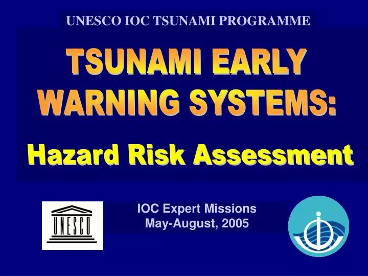
UNESCO IOC TSUNAMI PROGRAMME. TSUNAMI EARLY WARNING SYSTEMS:. Hazard Risk Assessment. IOC Expert Missions May-August, 2005. Hazard Reduction Strategy: Assessment. COMPONENT TECHNOLOGY PRODUCT ASSESSMENT • Historical Studies • Historical Database

E N D
UNESCO IOC TSUNAMI PROGRAMME TSUNAMI EARLY WARNING SYSTEMS: Hazard Risk Assessment IOC Expert Missions May-August, 2005
Hazard Reduction Strategy: Assessment • COMPONENTTECHNOLOGYPRODUCT • ASSESSMENT• Historical Studies • Historical Database • • Field Surveys • Inundation Maps • • Numerical Simul• Evacuation Maps
Risk Assessment What is likelihood of occurrence? What is expected earthquake impact? What is expected tsunami impact along coast? • Numerical modelling Need detailed bathymetry, topography TIME models (Tsunami Inundation Modeling Exchange) • Runup & inundation maps • Evacuation maps • January 3, 2002 Mw7.1 Vanuatu earthquake and tsunami • Tsunami record and Tsunami model based on data
Assessment - Multiple Hazards Map • Seismic Intensity (Modified Mercalli Scale) • Tsunami Inundation potential • Liquefaction susceptibility • Landslide potential Eureka, California
Assessment and Mitigation: Empirical Evacuation Maps 1. Post-Tsunami Scientific Survey - Data Collected: Runup, Inundation, Geology, Structural Damage Eyewitness observations: wave arrival, behavior 2. Satellite Imagery (before and after) 3. Synthesize => Tsunami Event Flooding Map
Assessment and Mitigation: Empirical Evacuation Maps 4. Assuming worst case scenario, Considering coastal topography and elevation, roads and other easily managed walking paths, strength and height of buildings … Construct Tsunami Evacuation Map Identify Tsunami Shelters Construct Tsunami Evacuation Routes
Evacuation Maps – Safe Routes “Local tsunami evacuation maps developed based on modeling, maps and local oral history” Planning Elements • Identify ALL Stakeholders • Workshops with Local Residents • Single Access Roads • Congregation areas
Evacuation Planning Traffic Control Beach Evacuation 12 8 23 26 47 25 22 16
State Evacuation Map Shows routes for Safe Public Exit 12 8 23 26 47 25 22 16
THANK YOU ITIC: Dr. Laura Kong PTWC: Dr. Charles McCreery JMA: Masahiro Yamamoto ITSU: ioc.unesco.org/itsu www.tsunamiwave.info Chair: Dr. Francois Schindele IOC: Dr. Patricio Bernal IOC Tsu Prog: Peter Pisserssens