Download
1 / 11
110 likes | 248 Views
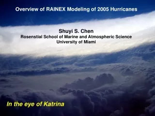
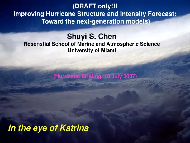
(DRAFT only!!! Improving Hurricane Structure and Intensity Forecast: Toward the next-generation models). Shuyi S. Chen Rosenstial School of Marine and Atmospheric Science University of Miami. (Hurricane Briefing, 10 July 2007). In the eye of Katrina. Current State of Hurricane Forecasting.

E N D
(DRAFT only!!! Improving Hurricane Structure and Intensity Forecast: Toward the next-generation models) Shuyi S. Chen Rosenstial School of Marine and Atmospheric Science University of Miami (Hurricane Briefing, 10 July 2007) In the eye of Katrina
Current State of Hurricane Forecasting Track forecast errors cut in half in 15 years No progress with intensity
New Research Model Forecasting Experiment Obs NHC Fcst MM5 (1.6km) WRF (1.6km)
Impact of Model Resolution on Hurricane Forecast 1.6 km Airborne radar observed rain in Hurricane Floyd (1999) High-resolution research model 15 km 45 km Most global operational models The best operational model
Sponsored by NRL Parners: In the eye of Katrina (2005)
High Resolution Model Forecasts for Rita’s Eyewall Replacement Airborne Radar Observed Rita’s Concentric Eyewalls
State-of-the-Art of the Next-Generation Hurricane Forecast Model (High-Resolution and Fully Coupled) Atmosphere Waves Ocean Land
CBLAST (Coupled Boundary Layer Air-Sea Transfer) A goal of CBLAST is to better understand how hurricanes interact with the ocean, and to use this to improve hurricane forecast models CBLAST (Coupled Boundary Layer Air-Sea Transfer)
Model Forecast of Hurricane Katrina (2005) (water depth) RainRate Surface Wind Speed (m/s) Significant Wave Height (m)
Challenges • Better understanding of physical processes that lead to extreme winds, heavy rain, and storm surge in hurricanes • New technologies needed for an integrated hurricane forecasting system that is based on state-of-the-art computer models, data assimilation, and observations • New tools for assessing hurricane impacts on ecosystems and human dimensions including the potential loss of life, economic damage, insured losses, power outage, surge and fresh-water flooding • New strategies for better warnings of when and where damaging winds and heavy rain will occur, enabling emergency planners to provide for an appropriate level of preparedness • Transition of new research and technologies into operations
A New Way Forward • Sustainable partnership among academics, industries, and federal government • Effective and accountable research facility that can provide smooth transition from research to operations • Direct communications between researchers and forecasters