Download
1 / 12
120 likes | 268 Views
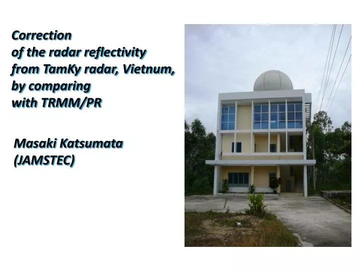
Correction of the radar reflectivity from TamKy radar, Vietnum , by comparing with TRMM/PR. Masaki Katsumata (JAMSTEC). Apologies. 今回はお見せできる結果がありません。ごめんなさい ……. 言い訳 レーダーのデータ自体はちゃんと読めています。 (RSL with etor ライブラリを使用 )

E N D
Correction of the radar reflectivity from TamKy radar, Vietnum, by comparing with TRMM/PR Masaki Katsumata (JAMSTEC)
Apologies 今回はお見せできる結果がありません。ごめんなさい…… • 言い訳 • レーダーのデータ自体はちゃんと読めています。(RSL with etorライブラリを使用) • etorライブラリを使うと、一つのプログラムから読み込み(RSL_EDGE_to_radar)を複数回呼び出すと Segmentation Fault が起こってしまいます。このため、コーディングに少々苦戦しました。 • TRMM/PRと「雨雲からの」反射強度を比較するには、シャドウとグラウンドクラッターの部分を比較対象から取り除く必要があります。TamKyはこれが酷く、今までのルーチンを改造する必要が生じたため、その作業をしているうちにタイムオーバーとなりました。 • 上米良さんのアドバイスから見通しは立ちつつあるので、今年度中には少なくともTamKy(and/or TMDレーダー)は何とかしようと思います。
ということで、代わりにと言ってはなんですが……ということで、代わりにと言ってはなんですが……
Kinematic structure of typhoon Lekimaover Vientiane: A view from EVAD analyses Masaki Katsumata (JAMSTEC)
Introduction • The detailed structure of the landed typhoon over Indochina Peninsula is still unknown • Doppler radar at Vientiane captured typhoon “Lekima” in 2007 which passed over Vientiane Radar • We applied EVAD analyses (Matejka and Srivastava 1991 JAOT) to reveal the kinematic structure of Lekima • This presentation shows preliminary results, to consider strategy of further analyses (using both observed and simulated data)
EVAD analyses • An improved version of “velocity azimuth display” (Browning and Wexler 1968) • Utilize full volume scan (PPIs at all elevations ) to average all VAD result within certain range distance at each height (to make data quality independent to height) • This study utilize data within 50-km range distance. • Wind, divergence (and averaged reflectivity) are available every 7.5 minutes (if volume scan data exists). Figures from Browning and Wexler (1968)
Lekima over Vientiane: Satellite view R=200km 00UTC 03 Oct 2007 12UTC 03 Oct 2007 12UTC 04 Oct 2007 Using data from Kochi Univ., 00UTC 04 Oct 2007
Lekima over Vientiane: Surveillance PPIs (EL=0.5) 00UTC 04 Oct 2007 06UTC 04 Oct 2007 12UTC 04 Oct 2007 18UTC 03 Oct 2007 300 R=200km 0 -300 -300 0 300 00UTC 05 Oct 2007 06UTC 05 Oct 2007 12UTC 05 Oct 2007 18UTC 04Oct 2007
EVAD view: Reflectivity and Wind 18Z 03 Oct. Averaged Reflectivity 06Z 04 Oct. Wind Direction 18Z 04 Oct. Wind Speed 06Z 05 Oct.
EVAD view: Reflectivity and Wind 18Z 03 Oct. Zonal Wind 06Z 04 Oct. Meridional Wind 18Z 04 Oct. Divergence 06Z 05 Oct.
Summary • Kinematic structure of typhoon Lekimais well revealed by applying EVAD analyses on data from Vientiane Radar • Wind below 2km height shows characteristic features, as • slower than above before passage of the center, while faster than above after the passage • divergent before 6-hour prior to the passage of the center (when high and widespread radar echo obseved), while convergent after • Observed vortex seems to move as trochoid track (any reration to decaying process ?)
Future works • inspect detailed structure • objective estimation of center of echo rotation • decompose wind as radial / tangential component • identify and relate relative positions of echo center, cloud center, and low-pressure center • apply VAD as other radars (if any Doppler radars), to • reveal structure at other portion / stage • make synoptic scale wind map, by combining wind profiles from prural radars (if possible …)