Download
1 / 14
140 likes | 334 Views
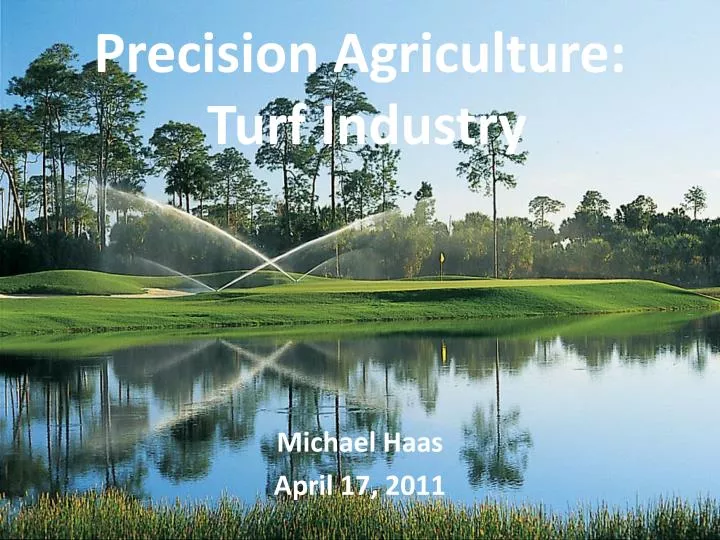
Precision Agriculture: Turf Industry. Michael Haas April 17, 2011. How is Precision Ag Used in Turf?. Important Areas of Application: Pest / Herbicide Management Fertilization Salinity / pH Irrigation (most talked about)

E N D
Precision Agriculture: Turf Industry Michael Haas April 17, 2011
How is Precision Ag Used in Turf? • Important Areas of Application: • Pest / Herbicide Management • Fertilization • Salinity / pH • Irrigation (most talked about) • To achieve input efficiency, SSMU’s (site specific mgmt units) are precisely defined and managed. • SSMU – areas with similar soil, topography, micro climate, and the same plant species with similar irrigation requirements.
Why Choose Precision • Heavy societal pressures to constantly use less • Desire to be recognized as a “green company” • Irrigation arguably greatest concern (scale = per head) • Common problems – hot spots, sand based, fungus • Save costs (fertilizer/minerals/herbicides/pesticides) • Where? When? How Much? http://www.gcsaa.org/GCM/2008/july/pdfs/precisionturf.pdf
Factors to be Considered • Soil Factors • Texture • Water-holding capacity • Organic matter content • Slope • Microclimate Conditions • Solar Radiation • Wind • Humidity • Temperature • Plant Attributes • Density • Growth • Color • Plant Species • Irrigation System Characteristics • Uniformity • Scheduling • Rate of application • pH/salinity
Where We are Currently • Primary factor hindering precision agriculture in the turf grass industry is the lack of mobile devices that can produce detailed mapping for both plant stress status and soil attributes. • - Increased cost, time, skill, etc. • Precision Agriculture made strong advances with the implementation of sensors and soil mapping • - Green Seeker type devices • Strides are being made to combine the spectral sensing of NDVI, with an electrical magnetic unit to estimate soil moisture in a system with GPS .
Methods Used to Increase Precision • Soil texture and analysis • Collect soil moisture readings every 10 ft. (45 min. per fairway) http://www.youtube.com/watch?v=vj_3ifs16Cs • NDVI data collection with GPS / GIS technologies • Salinity/pH data collection
Research Conclusions • Can improve irrigation efficiency by providing more precise information about where and when to irrigate, and how much to apply • Detailed spatial mapping of soil moisture status, topography and plant performance on large complex landscapes is critical • Must identify SSMU, problem areas, uniformity of water content, and determine the number and location soil moisture sensors
Challenges to Overcome • Careful definition of mapping goals • Detailed, uniform protocols for each specific goal or field application • Data analysis and description • Presentation of maps in the appropriate formats • Information transfer and interpretation for the end user
Figure 1. Spatial mapping of soil volumetric water content (left, dark blue = highest VWC) with SSMU boundaries along with topographic map and clay content (determined by soil sampling within SSMU areas.
Volumetric Water Content Figure 2. Spatial variability of soil VWC. Note the wind effects from right to left on spatial VWC patterns.
Irrigation Layout Figure 3. Complete uniform irrigation design, however due to lack of pressure, there was not head-to-head coverage. Pink = dry
Salinity Measurements Sites highest in soluble salts are also those most likely to be highest in Na, which could allow for site-specific application of gypsum rather than whole-area applications. Seawater has a salinity level of 45 dS./m or 34,000 ppm salts. The bright red areas are approximately the same salinity as ocean water. Site is irrigated with saline water from 4,000 to 7,000 ppm during winter and spring. Sand = less affected
Summary • Site-specific management requires site-specific information. • Detailed knowledge of the spatial nature of plant • and soil properties is necessary. This requires site data to be • acquired on a close-spaced grid - i.e., intensive mapping. • PTM is based on 1)advanced sensor technology, 2)mobile sensor platforms for site mapping, 3) GPS to define the exact site for each data point, and 4) application GIS technologies to analyze and display spatial data.
Summary Continued • Determining areas that are characterized by similar • input requirements is essential for efficient input allocation • and are the basis of PTM. Site-specific Management Units • (SSMUs) are areas of similar water-holding capacity, soil • texture, topography, and microclimate properties that have • the same management requirements. • Software programs with extensive geospatial mapping • and analytical capabilities can illustrate spatial variability • using the spatial mapping information and help determine • how management practices can be modified to increase • efficiency and conservation.