Download
1 / 37
410 likes | 583 Views
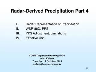
Radar-Derived Rainfall Estimation. Presented by D.-J. Seo 1 Hydrologic Science and Modeling Branch Hydrology Laboratory National Weather Service Presented at the NWSRFS International Workshop, Kansas City, MO, Oct 21, 2003 1 dongjun.seo@noaa.gov. In this presentation.

E N D
Radar-Derived Rainfall Estimation Presented by D.-J. Seo1 Hydrologic Science and Modeling Branch Hydrology Laboratory National Weather Service Presented at the NWSRFS International Workshop, Kansas City, MO, Oct 21, 2003 1 dongjun.seo@noaa.gov
In this presentation • Introduction to weather radar • Principles of radar rainfall estimation • Major sources of error • Radar-based Quantitative Precipitation Estimation (QPE) in NWS • Ongoing improvements • Summary
Reflectivity field (1x1km) Range=230 km
Radar Rainfall Estimation Z drop size6 R drop size3 fall velocity Z = A Rb where Z is the reflectivity factor (mm6/m3) R is the rain rate (mm/hr) R = A-1/b Z1/b
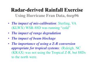
Major Sources of Error • Hardware • lack of calibration • clutter • attenuation • Microphysics • variability in raindrop size • variability in phase of hydrometeor • Sampling Geometry • beam blockage • vertical profile of reflectivity
From Kelsh 1999 Bright Band
Radar QPE in NWS Weather Surveillance Radar - 1988 Doppler version (WSR-88D)
WSR-88D Precipitation Processing Subsystem (PPS) • Preprocessing • Constructs the reflectivity field from the lowest unobstructed and uncontaminated measurements from multiple elevation angles • Removes clutter (including that from anomalous propagation (AP)) and outliers • Rate • Converts reflectivity to rain rate • Five Z-R relationships • Quality control checks • Capped for hail mitigation
PPS (cont.) • Accumulation • Accumulates rainfall • Adjustment • Applies mean field bias (based on real-time rain gauge data) • Products • Graphical • Digital • For further details on PPS, see Fulton et al. (1998)
Graphical (1x2 km) 1-H Precipitation (OHP) - every volume scan 3-H Precipitation (THP) - every hour Storm Total Precipitation (STP) - every volume scan User Selectable storm-total Precipitation (USP) - between 2~30 hrs, every hour Digital Digital Precipitation Array (DPA) - hourly, 4x4km2, every volume scan Digital Hybrid-Scan Reflectivity (DHR) - 1x1km, every volume scan Digital Storm-Total Precipitation (DSP) - 2x2km2, every volume scan PPS Products
Ground Clutter Removal Radar Echo Classifier (REC) From Kessinger et al. 2000
Sep 16, 1999: Storm Total Radar-derived Accumulation from KRAX (Raleigh, NC) From Kelsh 1999
Sep 16, 1999: Storm Total Radar-derived Accumulation from KAKQ (Wakefield, VA) From Kelsh 1999
Accounting for vertical profile of reflectivity (VPR) From Kelsh 1999 Range-dependent bias Correction Algorithm (RCA)
Vertical Profiles of Reflectivity Slant Range vs Adjustment Factor (Tilts 1 thru 3) From Seo et al. 1999
Storm Total Rainfall - KATX (Seattle, WA), Unadjusted From Seo et al. 1999
Storm Total Rainfall - KATX (Seattle, WA), Adjusted From Seo et al. 1999
Radar-Gauge Comparison Before Adjustment After Adjustment
Accounting for VPR variability From Vignal et al. (2000) Convective-Stratiform Separation Algorithm (CSSA)
Convective-stratiform separation From Seo et al. (2003)
Snow Accumulation Algorithm (SAA) Developed for the ROC by the US Bureau of Reclamation, the SAA uses logic similar to the PPS to estimate snow depth and snow water equivalent. SAA snow depth estimated from Reno NV (KRGX) radar data for a heavy 12 hour Sierra Nevada snow event ending ~07UTC, 4 December 1998. From O’Bannon and Ding (2003)
Summary • Radar is a critical part of the hydrologic and hydrometeorological observing and prediction system in NWS • Radar rainfall estimates are subject to a number of significant sources of error • Thorough understanding and systematic and explicit correction of the errors are essential to operational success • With ongoing improvements and dual polarization in the near future, radar is expected to play an even more important role in operational hydrology and hydrometeorology
Thank you! For more information, see http://www.nws.noaa.gov/oh/hrl/papers/papers.htm