Download
1 / 12
120 likes | 249 Views
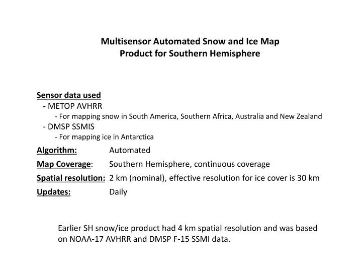
Multisensor Automated Snow and Ice Map Product for Southern Hemisphere. Sensor data used - METOP AVHRR For mapping snow in South America, Southern Africa, Australia and New Zealand - DMSP SSMIS For mapping ice in Antarctica Algorithm: Automated

E N D
Multisensor Automated Snow and Ice Map Product for Southern Hemisphere • Sensor data used • - METOP AVHRR • For mapping snow in South America, Southern Africa, Australia and New Zealand • - DMSP SSMIS • For mapping ice in Antarctica • Algorithm: Automated • Map Coverage: Southern Hemisphere, continuous coverage • Spatial resolution: 2 km (nominal), effective resolution for ice cover is 30 km • Updates: Daily Earlier SH snow/ice product had 4 km spatial resolution and was based on NOAA-17 AVHRR and DMSP F-15 SSMI data.
Details of the technique Snow Cover - Sensor data currently used: METOP-A AVHRR - 3-stage data processing/snow mapping algorithm - Preprocessing (gridding, combining data from different overpasses) - AVHRR image classification (“snow”, “snow-free land”, “clouds/undetermined”) - Cloud-clear compositing: retains the latest clear sky retrieval for each pixel - Applied only over areas affected by perennial or seasonal snow cover - Antarctica is assumed always snow covered Ice Cover - Sensors data currently used: DMSP F-16, -17, -18 SSMIS - 4-stage algorithm - Preprocessing (gridding, combining data from all satellites/nodes/overpasses) - Spectral-based classification (“ice”, “ice-free water”, “undetermined”) - Temporal consistency check (pixels with contradicting retrievals are labeled “undetermined”) - Compositing of consistent ice retrievals - Applied south of 500S
Daily product includes: Snow and ice cover map Dark green: Land areas assumed always snow-free Map of the number of days since the last update Additional output: Map of the date of the last update
New product vs old product: Improved spatial resolution of snow maps Full 1 km resolution AVHRR data from METOP are processed in the new system. The old system used NOAA AVHR GAC data at 4 km resolution. Better spatial resolution allows for more spatially detailed snow mapping. New Zealand snow cover Snow Snow Cloud Cloud NOAA-17 AVHRR, April 22, 2009 METOP-A AVHRR, April 29, 2013
New product vs old product: Added Southern Africa coverage METOP-A AVHRR Snow was not mapped in Southern Africa in the old system. MSG SEVIRI Attempts to generate a similar quality snow maps with MSG SEVIRI at 2 km resolution were not successful due to a large spectral bandwidth of the SEVIRI HRV band. Therefore METOP AVHRR is only used for mapping snow cover in Southern Africa.
New product vs old product: Added parallax correction Mar 15, 2012 Mar 16, 2012 With parallax correction Mar 15, 2012 Mar 16, 2012 METOP-A AVHRR No parallax correction ~ 6 km displacement if no correction is applied
New product vs old product: Added information on the number of days since the last update This information allows for assigning a reliability flag to each grid cell depending on how long ago the grid cell was last updated. Since ice cover is mapped using microwave data in most cases information on the ice cover is updated daily or every 2 days. Some land areas may remain cloud covered for several days in a row thus preventing from timely updating of the snow map.
New product vs old product: Added daily estimates of the snow extent Southern Africa South America Australia & NZ The system has been running in a quasi-operational mode since late 2010.
Validation of AVHRR snow maps Proper validation of snow maps is impossible because of the lack of in situ observations data in South America. Therefore quality evaluation of the snow maps was performed mostly through visual inspection of the corresponding false-color imagery and comparison with other similar products (e.g., MODIS snow map) . METOP AVHRR Left: False Color RGB Image Right: Daily Snow Map (white: snow, grey: clouds) Terra MODIS Snow Map
August 13, 2011 (Day 2011225) METOP AVHRR Snow Map at 2 km resolution Terra MODIS False Color Image at 1 km resolution METOP AVHRR snow maps adequately reproduce the extent of snow covered areas and the cloud cover.
August 13, 2011 (Day 2011225) METOP AVHRR Snow Map at 2 km resolution Terra MODIS False Color Image at 1 km resolution The accuracy of the METOP AVHRR snow mapping algorithm over Northern Hemisphere is over 95%. It is reasonable to assume that the accuracy of SH snow maps is the same.
Validation of ice cover maps DMSP SSMIS Accurate quantitative validation of the derived ice maps is impossible due to the lack of “truth” data. To qualitatively assess the accuracy of the ice maps derived with DMSP SSMIS data we compared them with snow and ice cover maps over Antarctica generated from METOP AVHRR. The two maps demonstrated a good agreement in the cloud-clear portions of the AVHRR imagery. METOP-A AVHRR