Download
1 / 11
110 likes | 114 Views
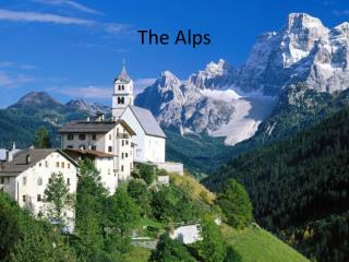
This project aims to harmonize and exchange soil information in the Alps, with a focus on creating an eco-pedological map of the alpine territory. The project involves various institutions and research centers, and aims to establish a network for soil study and protection in the region. The project also includes the development of an exchange format for data and the creation of pilot areas for testing. This is the first step towards a comprehensive and uniform understanding of soil in the Alps.

E N D
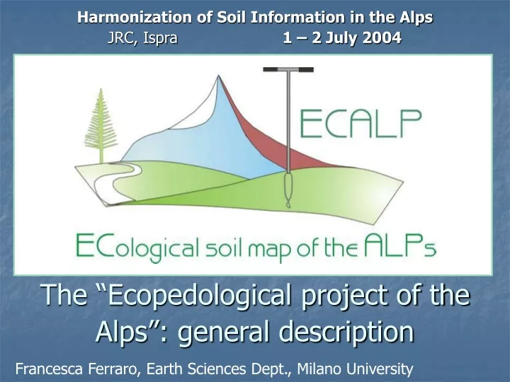
The “Ecopedological project of the Alps”: general description Harmonization of Soil Information in the Alps JRC, Ispra 1 – 2 July 2004 Francesca Ferraro, Earth Sciences Dept., Milano University
APAT (Environment Protection Agency and Technical Services) Eco-pedological Map for the Alpine Territory 1:250.000 Alpine Convention - Soil Protocol Italian Ministry of Environment
Centro Studi Val d’Ossola (Catholic University, Milan) CRASL (Research Centre for Env. and sustainable Development of Lombardy) (Catholic University, Milan) IDPA (Institute for Environmental Processes Dynamics) - National Research Council (CNR) Earth Sciences Department (Milano University) APAT Project leader Adalberto Notarpietro (IDPA, Brescia Catholic University)
Bolzano (EURAC) Domodossola (Centro Studi)
ARPAV (agro-environmental Centre of ARPA Veneto) ARPAV APAT (Environment Protection Agency and Technical Services) exchange format for data (Pilot areas)
JRC/IES Harmonisation… Ecopedological Map of Italy 1: 250.000 Soil and Waste Unit European Soil Bureau(ESB)
European Perspective Proposals • Prototypal ecopedological map 1:250.000 • Exchange format • Pilot areas • Network creation • Census of soil institutions
Prototypal map • boundaries ratified by the Alpine Convention • existing data • database derived from soil map of Europe • applicative parameters (erosion organic C) • Pixel (10x10 km) • INSPIRE grid
Exchange format &Pilot areas • Exchange format ARPAV • Pilot areas – boundary areas • Pilot areas – representative of different Alpine regions • 1 x 1 kmfitting the INSPIRE grid • Pilot areas = test of exchange format
Network creation • network among European partners working on soils • definition of common protocols, for the elaboration of the reference soil database • no modification of data ownership • census of institutions involved in alpine soil study and protection
Conclusions • Exchange format & Pilot areas • Network • Short times • Enlargement of 1 x 1 km areas • This is only the first step……………….