Download
1 / 22
240 likes | 275 Views
A brief, incomplete, and surprising history of the Dougherty Plain. Burt Carter. GA Geological Society Physiographic Map of Georgia. Poorly marked boundary at outcrop of older, non-carbonate rocks. Sharp, distinct boundary at the Pelham Escarpment.

E N D
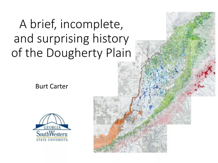
A brief, incomplete, and surprising history of the Dougherty Plain Burt Carter
Poorly marked boundary at outcrop of older, non-carbonate rocks. Sharp, distinct boundary at the Pelham Escarpment GA Geological Society Physiographic Map of Georgia
Ichawaynochaway Cr Flint River Aycocks Creek Flint River Big Slough Spring Creek Fishpond Drain Chattahoochee River Surface Drainage to Ochlocknee River
The Florida Straits connect the Gulf of Mexico to the Atlantic. The northern branch of the Florida Straits carry the main body of the Gulf Stream out of the Gulf and into the Atlantic. Gulf Stream FLORIDA STRAITS
Florida Bay – Lime Mud Lower Keys Marathon Hawk Channel – Lime Mud ? White Banks – Lime Sand Key West ? Florida Straits Rhodolith Gravel Reef Tract ? ?
? ? Ocala Limestone (Eocene)
? (Manker and Carter, 1987)
Cuba Disneyland Florida Straits Suwannee Strait Reef Tract Reef Tract (~Flint R.) White Banks Dougherty Plain Hawk Channel Dougherty Plain Holocene Pleistocene Pliocene Miocene Oligocene Eocene Paleocene U. Cretaceous L. Cretaceous Jurassic Triassic “basement”
100’ GA Geological Society Physiographic Map of Georgia From Beck and Arden, 1983
(~160’) (~130’) (Bridgeboro, actually) From Beck and Arden, 1983
Pelham Escarpment Tifton Upland Dougherty Plain Miocene Altamaha Formation Oligocene Bridgeboro Limestone (locally with Chattahoochee or Suwannee Limestone at the top) Eocene Ocala Limestone (uppermost part missing) Other facies equivalents to the Bridgeboro
Beck and Arden proposed the mechanism shown here for the origin of the Rockhouse Cave system, and by extension, for the Pelham Escarpment overall. I have modified it slightly because the original doesn’t show the escarpment well, and actually implies that there is a separate escarpment facing the wrong way. At the time the Bridgeboro Limestone was not recognized, so while there is a thin Suwannee Limestone above it, the bulk of cave development here is in the Bridgeboro. Between the middle and lower pictures the land, of course, doesn’t shift to the left (west), the escarpment retreats to the right (east). PE PE PE From Beck and Arden, 1983
Beck and Arden suggested that the retreat process might be expected to be fairly continuous, but that if the retreat stalled at a particular location or along a particular line, then an overdeveloped solution valley would form there. This possibility is schematically shown in the lower image here. They applied that model to the formation of an important geomorphic feature farther south called “Big Slough”, which Jake Sanders has been studying this year. Time 2 Valley formed by excessive cave and sinkhole development during stalled retreat. Time 1 Steady Retreat PE Time 3 Steady Retreat From Beck and Arden, 1983
100 110 130 140 160 150 120 170 180 70 80 90 0 5 Normal stream profile with a local base level. Karst surface across which water obviously could not flow permanently. Elevation above Sea Level (feet) 10 15 Miles Below Starting Point at Camilla 20 Big and Little Rock Sink 25 30 35 40
Branchville TRACING THE LONG AXES OF SINKHOLES (up to 2 miles long by less than half a mile wide) SUGGESTS THAT THEY WERE FORMED IN SOME RELATIONSHIP TO STREAMS WITH DENDRITIC DRAINAGE.
DERANGED KARST DRAINAGE ON DENUDED SURFACE WITH VESTIGIAL CLASTICS DOWNCUTTING AND REMOVAL OF SURFICIAL CLASTICS BY SURFACE DRAINAGE SYSTEM. POSSIBLE INITIAL INFILTRATION TO LIMESTONE FROM TRUNK STREAMS LIMESTONE WITH SINKHOLES AND DOMINANT GROUNDWATER FLOW BENEATH FORMER CHANNELS. SINKHOLES BEGIN TO DEVELOP MORE BROADLY. TIME 4 LIMESTONE WITH SLOW DIFFUSE GROUNDWATER FLOW THROUGHOUT TIME 2 MOST VALLEY FLOORS APPRAOCH OR INTERSECT TOP OF LIMESTONE. HIGH RECHARGE RATE THROUGH THEM ENHANCES SOLUTION RATE ALONG THEIR COURSES. INTEGRATED SURFACE DRAINAGE INITIATED ON RELATIVELY IMPERMEABLE CLASTICS CAVERNOUS POROSITY DEVELOPS BELOW DEEPLY INCISED CHANNELS. GROUNDWATER FLOW AWAY FROM CHANNELS STILL DIFFUSE. LIMESTONE WITH SLOW DIFFUSE GROUNDWATER FLOW THROUGHOUT TIME 3 TIME 1