Download
1 / 19
190 likes | 195 Views
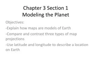
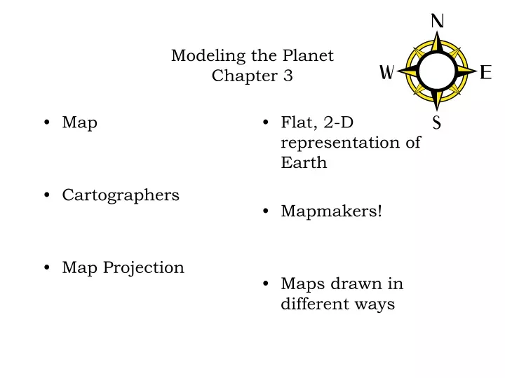
Map Cartographers Map Projection. Flat, 2-D representation of Earth Mapmakers! Maps drawn in different ways. Modeling the Planet Chapter 3. 1 - Mercator. Flat, grid-like map of the earth Great for teaching latitude and longitude Distorts the areas near the poles. 3 Map Projections.

E N D
Map Cartographers Map Projection Flat, 2-D representation of Earth Mapmakers! Maps drawn in different ways Modeling the Planet Chapter 3
1 - Mercator Flat, grid-like map of the earth Great for teaching latitude and longitude Distorts the areas near the poles 3 Map Projections
2 - Gnomonic Used to show the shortest distance between 2 points Pilots and Captains use it! Distorts the area near the equator
Polyconic The best of the three!
Map Scale How the map’s features compare in size with Earth’s surface Map Scales
Verbal Ratio Graphical Someone tells you 1:500 (1 inch on the map equals 500 inches on the earth A line divided into segments showing distance on Earth 3 types of map scales
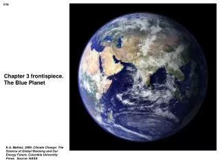
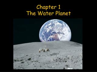
Hemisphere Equator The Earth is divided into 2 hemispheres – the northern and the Southern The imaginary line that divides the earth into 2 halves Hemispheres
Degrees 360 degrees in a circle From the equator to the north pole is 90 degrees From the north pole to the south pole is 180 degrees Globe
Equator The line that divides the Earth into the Northenr and Southern hemispheres Equator
Latitude Lines that run from side to side Lines that run parallel to the equator Nicknamed parallels Measure degrees north and south of the equator Latitude
Prime Meridian The line that divides the Earth into Eastern and western hemispheres 0 degrees longitude Prime Meridian
Longitude Lines that run up and down Measures degrees East and West of the prime meridian Longitude