Download
1 / 12
130 likes | 269 Views
Door To Door. Ryan Abendroth. Definition and Requirements. Drivers, passengers, and destinations are presented visually on a map. The map is updated after an event: request, pickup, drop off… Pickups can be requested and cancelled at any time. Handle multiple taxis.

E N D
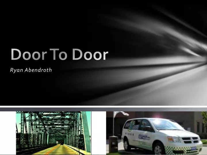
Door To Door Ryan Abendroth
Definition and Requirements • Drivers, passengers, and destinations are presented visually on a map. • The map is updated after an event: request, pickup, drop off… • Pickups can be requested and cancelled at any time. • Handle multiple taxis. • Give drivers “what if” capabilities so they can make efficient decisions. • Save the sequence of events and play back. • Distances between objects are computed and displayed. • Each taxi has a maximum number of riders. • Some riders have specific scheduled appointments.
Solutions • Passengers and locations are presented on a map. • The map is updated with selection of route and arrival at destinations (pickups and drop-offs). • Drivers are given “what if” capabilities with ability to select route. • Distances between destinations is calculated and displayed.
Exceptions • Pickups can be requested and cancelled at any time. • Handle multiple taxis. • Save the sequence of events and play back. • Some riders have specific scheduled appointments.
Methodology • Utilized GMap references to display a map to navigate with • Incorporated Geocoding references to retrieve the latitude and longitude of a location and place a marker at that point • To find distances between two points I used the haversine formula to calculate the distance
Problems • Getting the map and marks to display • Google queries • Google API can’t find some addresses
Learning Techniques • Agile Method • Ask professors • Ask classmates • Start with something work and end with something working
Past Knowledge • Intro to Computer Programming (CSCI 110) • Database Modeling and Techniques (CSCI 330) • Event Programming (CSCI 350)
Extensions • Get and store driver location via mobile “driver responsibility” of the application. • Get distance to destinations along actual route taken (with directions from Google). • Multiple taxis and passenger limitations.
Advice • Start right away • Manage your time in a way where you allow yourself to always spend time on the project regularly • Stay aligned with project requirements and scope • Don’t hesitate to ask for help and/or direction • Don’t stay stuck on a single issue