Download
1 / 22
220 likes | 451 Views
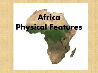
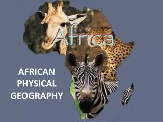
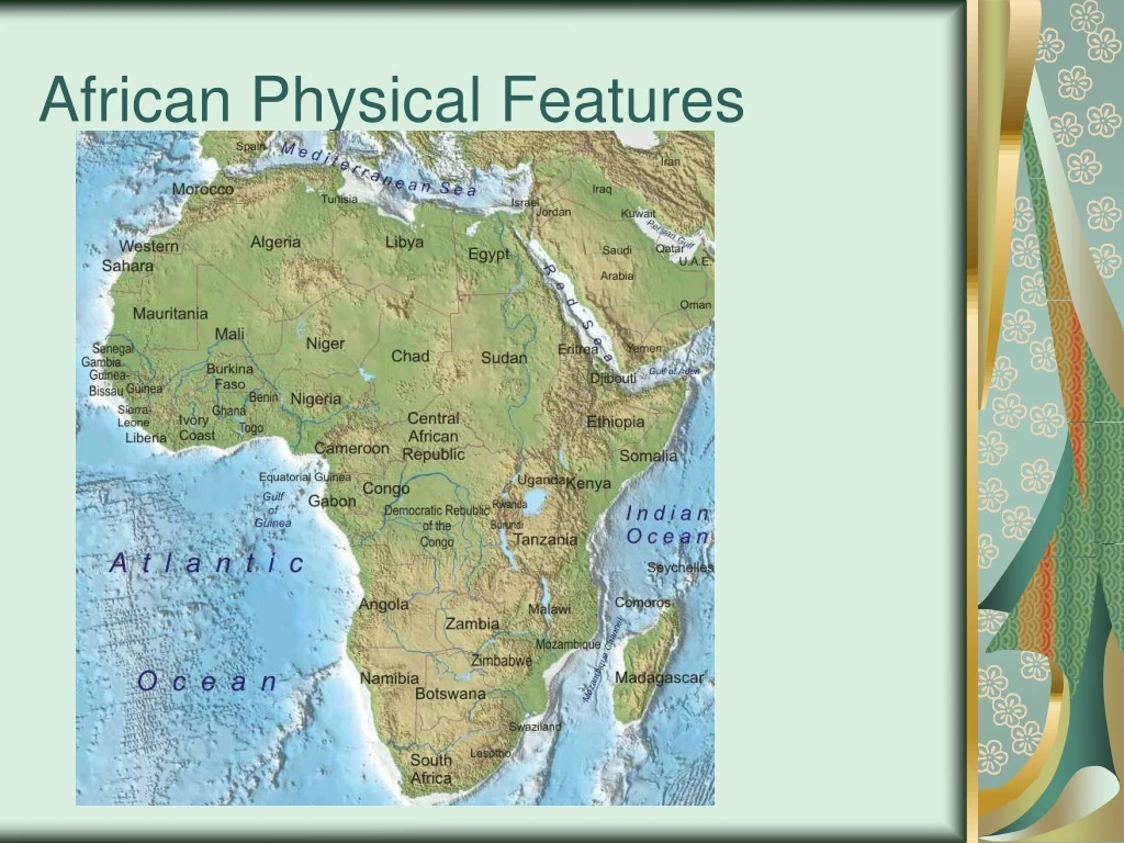
African Physical Features. How were landforms in Africa formed?. Great Rift Valley – A huge crack in the earth’s surface caused by the shifting of tectonic plates. Volcanoes and Earthquakes also helped to create its appearance. The Great Rift Valley. How were landforms in Africa formed?.

E N D
How were landforms in Africa formed? • Great Rift Valley – A huge crack in the earth’s surface caused by the shifting of tectonic plates. • Volcanoes and Earthquakes also helped to create its appearance.
How were landforms in Africa formed? • Most of this continent’s lakes were huge basins formed by the uplifting of the land. • Lake Victoria – Largest lake in Africa, second largest in the world. Source of the Nile River. • Lake Chad – A dying lake, An arid climate makes most of the water evaporate.
Victoria Falls • Located between Zambia and Zimbabwe. • The longest waterfall in the world. • Is among the most unusual in form and very diverse in wildlife.
Lake Volta • One of the largest human – made lakes in the world. • Provides hydroelectric power, irrigation for farmland, and an abundance of fish.
Rivers • Niger River – The main river in Western Africa, extends 2,600 miles. • Provides transportation and irrigation. • This river actually splits into an inland delta.
Rivers • Zambezi River – Located in south central Africa, flows 2,200 miles. • Also meets the ocean in a delta. • Interrupted by many waterfalls.
Nile River • Longest river in the world. • It flows North. • It actually starts at Lake Victoria.
Rivers • Congo River – Reaches the sea through an estuary. • Is 2,900 miles long. • Has the largest network of navigable waterways in Africa.
Cape of Good Hope • Established a sea route to India and the East.
Mt. Kilimanjaro The highest peak in Africa.
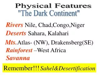
Sahara • During the last ice age the Sahara was bigger than it is today. • Monsoons came to the north and counteracted the drying to the south. • The monsoons then retreated south causing desertification. • It is about the same size at it was 13,000 years ago.
Sahel • A semi-arid tropical savanna ecoregion in Africa. • It forms the transition between the Sahara in the north and the Sudanian Savanna to the south. • It used to be part of the Sahara desert 12,000 years ago.