Download
1 / 17
170 likes | 267 Views
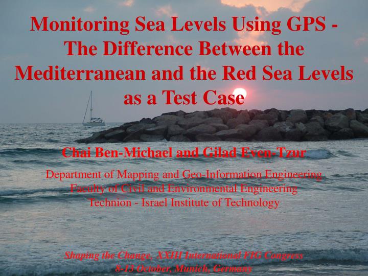
Monitoring Sea Levels Using GPS - The Difference Between the Mediterranean and the Red Sea Levels as a Test Case. Chai Ben-Michael and Gilad Even-Tzur Department of Mapping and Geo-Information Engineering Faculty of Civil and Environmental Engineering Technion - Israel Institute of Technology.

E N D
Monitoring Sea Levels Using GPS - The Difference Between the Mediterranean and the Red Sea Levels as a Test Case Chai Ben-Michael and Gilad Even-Tzur Department of Mapping and Geo-Information Engineering Faculty of Civil and Environmental Engineering Technion - Israel Institute of Technology Shaping the Change,XXIII International FIG Congress 8-13 October, Munich, Germany
Research motivation To develop a GPS based Tide Gauge (GPTG) and to test its ability to monitor Sea Levels. The GPTG would provide the ability: ►to measure an absolute change of MSL. ► to measure accurately the level difference between two distinct tide gauges.
Float operated Tide Gauge As the water rises (or descends) the cable movement creates an angular movement that is proportional to the change in water level. The float is connected by a cable and a set of pulleys to a weight, a pen and to a recording drum Stilling Well, mechanically restricts the flow of water into and out of the well, to eliminate short period changes (waves) A float is located on the surface of the water
Tide Gauge Benchmark A BM that provides the reference point for the sea level measurementsis connected to the tide gauge.
GPTG - structure The GPTG is based on a float tide gauge principles The SW is build from a PVC pipe with a flat bottom and side inlets
GPTG - structure A GPS antenna pole is molded into a buoy by rigid connection and transfers the vertical movement from the buoy to the phase center. A GPS receiver is used as the recording drum
Proof of Concept Test The GPTG was located in the Tel-Aviv marina, close to a long term operating reliable TG and close to a permanent GPS station. The test lasted 29 hours, on July 5th 2004.
Proof of Concept Test - Results Comparison of TG data versus the GPS data The results from both instruments can be treated as identical with a standard deviation of 13mm and a correlation factor of 0.993.
An implementation of the device for connecting two distinct tide gauges was carried out. Its goal was to determine the GPTG ability to measure the sea levels difference between the Red Sea and the Mediterranean Sea accurately. Mediterranean Sea Tel-Aviv Eilat Red Sea
Tel-Aviv versus Eilat Test A second device was built and installed in Eilat. The instruments were operated in Tel-Aviv for 52 hours and in Eilat for 39 hours, on September 2004.
Tel-Aviv versus Eilat Test - Results Eilat Height diff between TGS16.35 m Std for single measurement 39.4 mm Std for average 8.8 mm Tel-Aviv Height diff between TGs 18.36 m Std for single measurement 18.8 mm Std for average 0.8 mm
Tel-Aviv versus Eilat Test - Results Sea level variations of the Mediterranean Sea (red line) and the Red Sea (blue line) in ellipsoidal reference system
Sea level difference between the Red-sea and the Mediterranean ►MSL was calculated for the Mediterranean and for the Red sea for a period of 12hrs 25min. ►Barometric data from Tel-Aviv and Eilat was used. ►Undulation data was retrieved from the Survey of Israel undulation model.
Height difference calculation Undulation calculation: Height corrections due to barometric pressure:
Height difference calculation Ellipsoidal Difference: Undulation Difference: Eilat sea level relative to Tel-Aviv Sea level:
Summary and Conclusions ►The development and manufacturing of a prototype of a GPS based float operating tide gauge was successful. ►It seems that the GPTG is capable of delivering the same level of accuracy (1cm) as a traditional TG with reliable results. ►The comparisons between the Red Sea level and the Mediterranean Sea level showed a difference (3.5cm) within the error margin of the undulation model. ►The ability to absolutely and relatively determine MSL changes was established.