Download
1 / 42
580 likes | 953 Views
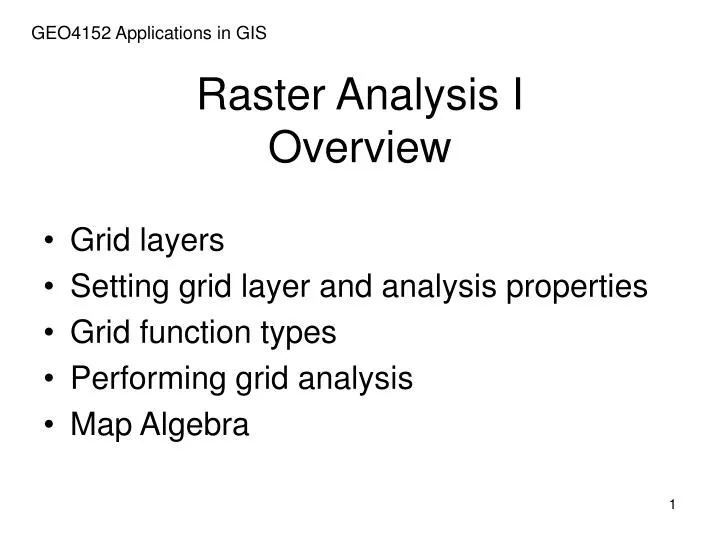
GEO4152 Applications in GIS. Raster Analysis I Overview. Grid layers Setting grid layer and analysis properties Grid function types Performing grid analysis Map Algebra. Overview. Grid layers Setting grid layer and analysis properties Grid function types Performing grid analysis

E N D
GEO4152 Applications in GIS Raster Analysis I Overview • Grid layers • Setting grid layer and analysis properties • Grid function types • Performing grid analysis • Map Algebra
Overview • Grid layers • Setting grid layer and analysis properties • Grid function types • Performing grid analysis • Map Algebra
Grid layers: Overview • Grid layer • Grid layer properties • Examining cell values in grid layers • Managing grid layer files
Grid layers: Overview • Grid layers are ArcGIS's implementation of the basic raster data model.
Grid layers: Overview • Grid layers are ArcGIS's implementation of the basic raster data model. rectangular tessellation of square cells
Grid layers: Overview • Grid layers cellshave numerical value
Grid layers: Overview • Grid layers are suited for representation of phenomena that vary gradually over space such as elevation, wind speed and direction, or slope.
integer (no decimals) floating-point(decimals) Grid layers: Grid types • Only integer grids can have layer tables
Grid layers: Grid types • Only integer grids can have layer tables
Grid layers: The spatial analyst • All grid layer functionality occurs through the Spatial Analyst extension.
Grid layers: Grid layer properties • Layer description contains a lot of information
Grid layers: Grid layer properties • Layer description contains a lot of information
Grid layers: Grid layer properties • Layer description contains a lot of information
Y-axis: cellcounts X-axis: values Grid layers: Examining cell values with histogram • Histograms describe structure of data values
Grid layers: Examining cell values with identify tool • Individual cell values can be identified
Grid layers: Managing grid layer data files • Grid data sources can be managed by ArcCatalog • copying • moving • renaming • deleting
Overview • Grid layers • Setting grid layer and analysis properties • Grid function types • Performing grid analysis • Map Algebra
Setting grid analysis properties • Analysis properties • Working directory • Masking • Spatial extent of output • Cell size • Once set, analysis property values stay set until changed Analysis properties determine spatial properties for all newly created output grid layers
Setting grid analysis properties: Analysis extent • Analysis extent sets the spatial properties for output of analyses • Rectangular area
Setting grid analysis properties: Analysis extent • Be careful about setting extent; it may cause poor grid-to-grid registration
Setting grid analysis properties: Cell size • Analysis cell size sets the grid cell size for output of analyses • use consistent cell size for analysis of multiplegrid data sets • small cells → larger files • small cells → longer processing
Setting grid analysis properties: Masking • Analysis mask defines spatial extent of output grids • Mask is the “valid data” area of an existing gridrather than a rectangularregion (as in AnalysisExtent)
Setting grid analysis properties: Masking • Analysis mask defines spatial extent of output grids
Overview • Grid layers • Setting grid layer and analysis properties • Grid function types • Performing grid analysis • Map Algebra
Overview • Grid layers • Setting grid layer and analysis properties • Grid function types • Performing grid analysis • Map Algebra
Grid function types • Local • Global functions • Zonal functions • Focal functions
local sine e.g. sin(12) = -0.537 Grid function types: Global functions • Local functions apply an independent calculation to only one input grid cell for each output cell.
Grid function types: Global functions • Global functions apply a calculation based on all cell values e.g. flow accumulation
Grid function types: Zonal functions • Zonal functions apply one calculation to all input grid cells within each zone zonal sum for zone 1: (53 + 57 + 33 + 78 + 31 + 12 + 32 + 9 + 9 + 33 + 76) = 423
focal mean Grid function types: Focal functions • Focal functions apply one calculation to all input grid cells within a “focus” (27 + 8 + 22 + 16 + 21 + 16 + 6 + 44 + 8) / 9 18.7
Overview • Grid layers • Setting grid layer and analysis properties • Grid function types • Performing grid analysis • Map Algebra
Grid analysis: calculations across multiple grids • Multi-grid analyses are possible because of spatial registration • multiple grid layers share the same X, Y coordinate space • cell values are calculated across multiple grid layers • to create a single output grid layer
Grid analysis • Analyses are performed using GUI tools (1) Spatial Analyst toolbar (2) Raster Calculator
Grid analysis • Analyses are performed using GUI tools (3) ArcToolbox
Grid analysis • Many more grid analyses are available through the Grid Map Algebra syntax
Overview • Grid layers • Setting grid layer and analysis properties • Projections and grid layers • Grid function types • Performing grid analysis • Map Algebra
Grid layers may be used in arithmetic expressions output_data_set = input_grid1 operator input_grid2 . . . slp_dem = slp_grid * dem Grid layers may be used in algebraic functions output_data_set = function (input_data_set[s] {,arguments}) slp_grid = slope (dem, percentrise) Grid analysis: Map algebra
operator classes operators raster layers expressionbox Performing grid analysis: Using grids in math • Map algebra is calculated with the Raster Calculator
Grid analysis: Map algebra ( “How it works”) • Map Algebra arithmetic: Calculation = (Dem gt 500 and Dem lt 1000 ) Logical (Boolean) criteria
0 = false 1 = true Grid analysis: Map algebra ( “How it works”) • Map Algebra arithmetic:
Grid analysis: Map algebra (“How it works”) • Map Algebra function: Map Calculation 1 = mosaic({Elbe, Eaton}) Mosaics the Elbe and Eaton grids
Grid analysis: Map algebra ( “How it works”) • Map Algebra function: