Download

1 / 21
220 likes | 273 Views
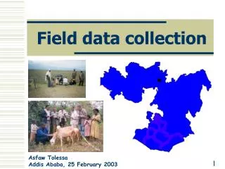
Field Data Collection. Roger Koelpin GISCIKR Planner rkoelpin@dhs.in.gov. Common Interest?. Topics. Background What is field data collection at IDHS? Technologies used IA damage assessment process Assessment aids Role-based access Assessments available WebEOC analyses Next steps.

E N D
Field Data Collection Roger KoelpinGIS\CIKR Planner rkoelpin@dhs.in.gov
Topics • Background • What is field data collection at IDHS? • Technologies used • IA damage assessment process • Assessment aids • Role-based access • Assessments available • WebEOC analyses • Next steps
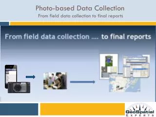
Background • Data collection • Individual Assistance damage assessments are one of several data collection needs • Process(es) almost ad-hoc with many partners • Must cross jurisdictions & levels of government. • Must cross public & private sectors • Must inform common operating picture • Lots of customers for this data set • Customers vary by event • Most (All?) customers engaged through COP
What is field data collection at IDHS? • It is a framework that provides • Defensible, repeatable observations • Multi-agency and jurisdiction standardization and cooperation • Progress monitoring and reporting • Change management and process improvement • Incident Command System (ICS) • Homeland Security Exercise & Evaluation Program (HSEEP)
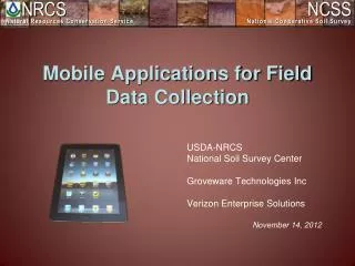
Technologies used. • FEMA instance of AGOL • Downloadable “maps” • Enabling disconnected editing, sync • County parcel and tax data (thanks to all) • In-house data hosting and DR • Cross platform integration with WebEOC • Free mobile app for field use • iOS, Android, Win 10
IA damage assessment process • Determine the extent of the problem • Where • Determine how bad a problem • What • Decision; If bad enough – then • Governor requests a federal declaration Unless Jim Cantore is already there.
IA damage assessment process • Start with local determination of extent • Edit affected area in flex viewer • Add affected points in Recon maps, available pre incident • Create a new “incident” in WebEOC if assessments needed • Publish parcel points, start tracking in WebEOC • GIS edits from field sent to WebEOC for tracking and reporting.
Why we provide parcel points. Two devices tested. Saw difficulty possibly from multi-path (peg legs) due to the roof of the big box retail site. Error of 500+ to 1000+ meters observed. Of 27 measurements, got to a precision of +/- 10m with a confidence of 1 sigma (~95%).
Assessment aids. • Where? Flex viewer for damage extents • What? Damage classes. • https://gis.dhs.in.gov/daclasses.html
Role-based access • Viewer deployed by group in WebEOC (Communications Group, Viewer - ESF) • Services in viewer secured by position • AT&T, VZ, Sprint users assigned POSITIONS; can view their stuff not the competition’s
Next steps. • Training for local damage assessment teams. • Move from FEMA AGOL to in-house, leverage WebEOC security store. • Developing joint assessment protocols across CUSEC states • Further develop tools for PA, HPAI, EQ etc.
Topics • Background • What is field data collection at IDHS? • Technologies used • IA damage assessment process • Assessment aids • Role-based access • Assessments available • WebEOC analyses • Next steps
Field Data Collection Roger KoelpinGIS\CIKR Planner rkoelpin@dhs.in.gov