Download
1 / 3
50 likes | 202 Views
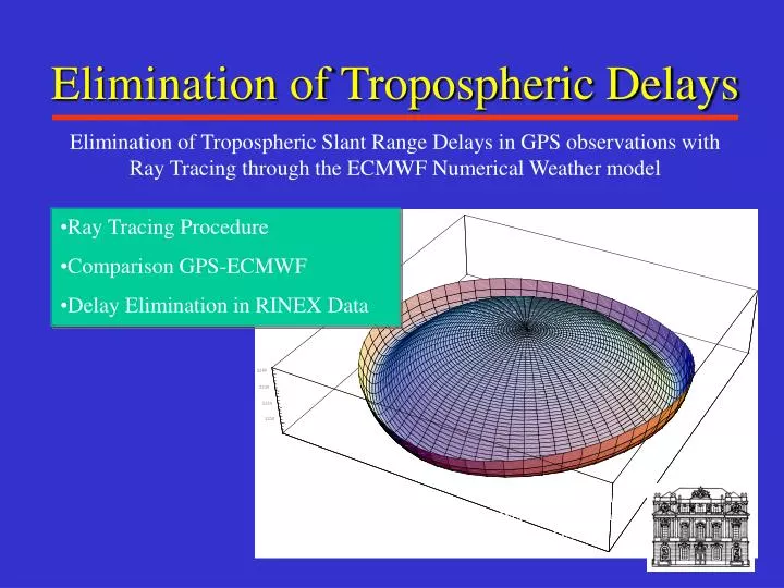
Elimination of Tropospheric Delays. Elimination of Tropospheric Slant Range Delays in GPS observations with Ray Tracing through the ECMWF Numerical Weather model. Ray Tracing Procedure Comparison GPS-ECMWF Delay Elimination in RINEX Data. T. Pany, Institut für Weltraumforschung der ÖAW. B.

E N D
Elimination of Tropospheric Delays Elimination of Tropospheric Slant Range Delays in GPS observations with Ray Tracing through the ECMWF Numerical Weather model • Ray Tracing Procedure • Comparison GPS-ECMWF • Delay Elimination in RINEX Data T. Pany, Institut für Weltraumforschung der ÖAW
B Virtual Ref. C Rover D A RTK Basics • RTCM 2.1: Rover gets RTCM 3/18/19 msg. via a data link • Forms double differences, cleans the data • Fixes the L5 ambiguities (Noaccurate ionospheric modeling, short distances <15km) • Ionospheric free L3-float solution: Fixes L1/L2 ambiguities (tropospheric and orbit errors) • Short distance to reference station necessary to solve ambiguities fast and reliably • Calculate virtual GPS observationsnearby the Rover
Ingredients • Central data processing • Accurate determination of • Ionosphere (Use of sophisticated models, ionospheric tomography) • Troposphere (Height dependence) • Orbit errors (Alternative: use predicted orbits) • Interpolation of these error sources to the position of the virtual reference station • Bilinear interpolation (Wanninger) • Least squares interpolation (H. van der Marel) • Physical modeling (Kalman filter, tomography, numerical weather models)