Download
1 / 11
120 likes | 282 Views
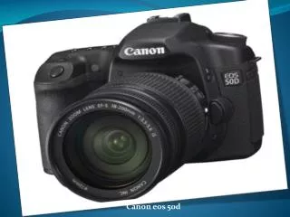
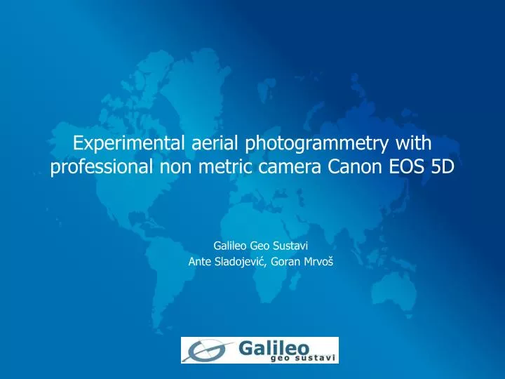
Experimental aerial photogrammetry with professional non metric camera Canon EOS 5D. Galileo Geo Sustavi Ante Sladojević, Goran Mrvoš. Content. Introduction Project Specification Camera Calibration Flight plan Aerotriangulation Creating DEM and digital orthophoto Conclusion.

E N D
Experimental aerial photogrammetry with professional non metric camera Canon EOS 5D Galileo Geo Sustavi Ante Sladojević, Goran Mrvoš
Content • Introduction • Project Specification • Camera Calibration • Flight plan • Aerotriangulation • Creating DEM and digital orthophoto • Conclusion
Introduction • Test professional non metric camera • Aerial photogrammetry purpose • Will it work in aerial photogrammetry? • Reliability? • Accuracy?
Project specification - equipment • Camera Canon EOS 5D • Sensor type • 35.8 x 23.9 mm CMOS • 12.8 million effective pixels • Image size: • 4368 x 2912 pix • Dimensions: • 152 x 113 x 75 mm • Wide angle lens (24mm) • Camera box and carrier • Airplane Cessna 172 Rocket • PHOTOMOD 4.1
Project specification - work flow • Camera calibration • Making flight plan • Flying and taking images of selected area • Loading images in photomod, aerotriangulation • Creation of DEM and digital orthophoto • Analyzing results
Camera Calibration • Lens (24mm) • Characteristics of a camera (focal length, lens distortion) • Used software PhotoModeler pro 5.0. • 2D dimensions calibration grid • Results of camera calibration: • Focal Length - Value: 23.811862 mm • Principal point (Xp, Yp) • (17.311063 mm, 11.615114 mm) • Radial distortion (K1, K2 ,K3) • Decentering distortion (P1, P2)
Flight plan • Area = 2.2 km long (city highway) • Two strips (52 images) • Base 120 m (60%) • Distance between strips 310 m (30%) • Flying height (300m) • Scale 1:12500 • Navigation with Garmin GPS
Aerotriangulation • PHOTOMOD 4.1 (default configuration) • Automatic aerotriangulation (1272 tie points) • Correlation (>0.94, parallax <0.010 mm) • 10 GCP, 4 beginning and the end of the strips, 2 in the middle of the strips • GCP residuals • Xm-XgYm-Yg Zm-ZgExy (m) • mean absolute 0.038 0.045 0.160 0.062 • RMS0.046 0.053 0.184 0.070 • Maximum 0.087 0.102 0.316 0.134
Creating DEM and digital orthophoto • DEM (1m) • Vectors and breaklines (Stereo Restitution, PHOTOMOD StereoDraw) • Digital othophoto (PHOTOMOD Mosaic) • Geometric resolution (0.1m) • Digital orthophoto control: • Overlap with exisiting data • The results were very good - max overlap error was 0.4 m.
Conclusion • Good accuracy • Large number of images for small areas (1 km=10 images) • Not good for large areas (time) • Digital non metric camera are getting better and better (16 Mpix, 32 Mpix) • Better accuracy's • Better resolution (good calibration)
Thank you for your attention ! • Questions?