Download
1 / 14
140 likes | 230 Views
Oregon’s Statewide Land Use Planning Program A Framework for Community Decisions. Richard Whitman – Director Oregon Department of Land Conservation and Development. A Diverse State. Lots of Federal Land (53%). Many Local Governments. 36 Counties, 242 Cities, 1 Regional.

E N D
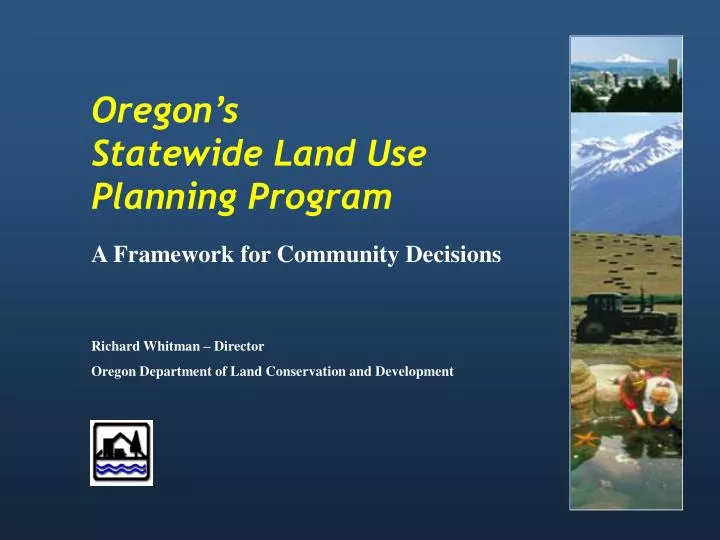
Oregon’s Statewide Land Use Planning Program A Framework for Community Decisions Richard Whitman – Director Oregon Department of Land Conservation and Development
Many Local Governments 36 Counties, 242 Cities, 1 Regional
The State Land Use Program 1973 Law (SB 100) Framework • • Land Conservation and Development • Commission (LCDC) • 7 citizen members appointed by the • Governor, confirmed by the Senate • • Department of Land Conservation • and Development (DLCD) • State administrative agency • • Statewide Planning Goals • Guide local plans and state agencies
Program Elements Created by 1973 Law • • State Planning Goals • • Cities and counties • - Adopt land use plans, and • - Regulations consistent with state goals. • • State agencies • - Follow statewide goals, and • - Coordinate programs & permits affecting land use • with city and county plans. • • LCDC reviews • - All local plans for compliance with statewide goals, and • - State agency coordination agreements.
Statewide Planning Goals Goal 1: Citizen Involvement (December 1974) Goal 2: Land Use Planning (December 1974) Goal 3: Agricultural Lands (December 1974) Goal 4: Forest Lands (December 1974) Goal 5: Natural Resources, Scenic and Historic Areas, and Open Spaces (December 1974) Goal 6: Air, Water, and Land Resources Quality (December 1974) Goal 7: Areas Subject to Natural Hazards (December 1974) Goal 8: Recreational Needs (December 1974) Goal 9: Economic Development (December 1974) Goal 10: Housing (December 1974) Goal 11: Public Facilities and Services (December 1974) Goal 12: Transportation (December 1974) Goal 13: Energy Conservation (December 1974) Goal 14: Urbanization (December 1974) Goal 15: Willamette River Greenway (December 1975) Goal 16: Estuarine Resources (December 1976) Goal 17: Coastal Shorelands (December 1976) Goal 18: Beaches and Dunes (December 1976) Goal 19: Ocean Resources (December 1976)
Big Ticket Policies: • Citizen Involvement • Protect Agricultural Lands • Protect Forest Lands • Protect Coastal Resources • Focus Development in Urban Areas • Link Transportation and Development • Link Economic Development and Land Use
Single Property Proposal Applicant City/County staff review Planning Commissioner or Hearings Officer City Council or County Commission Area-wide Proposal Local Proposal Planning Commission City Council or County Commission Who Makes Land Use Decisions?
Appeals Land use application Local Administrative Decision (staff) Local Planning Commission Decision Local Appeals City or County Elected Officials State Land Use Board of Appeals (LUBA) (many) State Appeals State Court of Appeals (few) State Supreme Court (fewer) National Appeals United States Supreme Court (very few)
How We’re Organized Department of Land Conservation and Development LCDC Land Conservation and Development Commission Director’s Office Administration, Policy, Legislative, Communications, Big Look • Planning Services • Farm/Forest • Urban Planning (2) • Natural Resources • Economic Development • Natural Hazards /Floodplain Team (2) • Transportation and Growth Management Team (5) • Coastal Services • Coastal Policy • Shorelands/Hazards • State-Federal Relations • Coastal Permits • Conservation Projects • Marine Affairs • Coastal Nonpoint WQ • Grants Administration • Coastal GIS • Oregon Coastal Atlas • Community Services • Community Policy • Grants Administration • Plan Amendments • Regional Representatives • Waldport (2) • Salem (2) • Eugene (1) • Portland (2) • Bend (2) • La Grande (1) • Central Point (1) Measure 49 Development Services Operations Services
How We Are Doing?Oregon Land Base Total land in Oregon 61.8 million acres Public land (55%) 34.1 million acres (Tribal/Federal/State/Local) Private land (45%) 27.7 million acres
Oregon’s Private Lands Farm 15.5 million acres 55.8% Forest 8.2 million acres 29.7% Farm/Forest 2.3 million acres 8.1% Rural Dev. 890,116 acres 3.2% Other Rural 105,000 acres .4% UGBs 781,836 acres 2.8% TOTAL 27.7 million acres 100%
The “Big Look” The 30-year Review of the Statewide Planning Program • 10-member Task Force: • Study and Make Recommendations on • current and future needs in all parts of the state; • roles and responsibilities of state and local governments; and • land use issues related to urban growth boundaries and urban growth areas. • Reports due to 2007 and 2009 legislatures