Download
1 / 40
400 likes | 550 Views
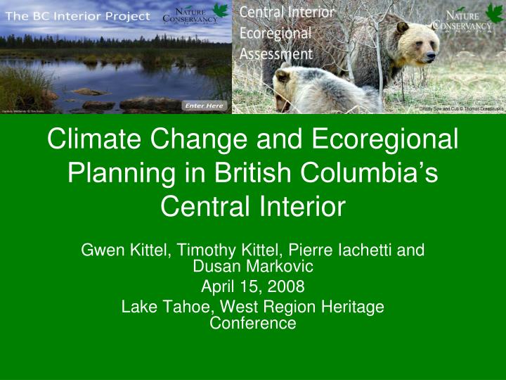
Climate Change and Ecoregional Planning in British Columbia’s Central Interior. Gwen Kittel, Timothy Kittel, Pierre Iachetti and Dusan Markovic April 15, 2008 Lake Tahoe, West Region Heritage Conference. Main Lessons Start with what you know Climate Change influences ideas and targets

E N D
Climate Change and Ecoregional Planning in British Columbia’s Central Interior Gwen Kittel, Timothy Kittel, Pierre Iachetti and Dusan Markovic April 15, 2008 Lake Tahoe, West Region Heritage Conference
Main Lessons • Start with what you know • Climate Change influences ideas and targets • No regrets Policy • Models are helpful, but don’t bet the bank
Start with what you knowWorked with NCC on several bordering Ecoregions
What’s new ? • Entirely in Canada • Added Climate Change thinking throughout planning process • Added Ecosystem Services • Added Adaptive Management
Ecoregional Assessment Assess Viability of Target Occurrences Select Conservation Targets Set Conservation Goals Develop Network of Conservation Areas Prioritization Implementation
Key Inputs: Coarse Filter or Representation Analyses Classification of terrestrial vegetation based on existing mapped data Classification of aquatic ecosystems and habitats Establishment of viability criteria, Goals, GAP analyses Special Elements Analyses Ecological Elements (i.e. Animal licks, geothermal sites) Social Elements (i.e. Culturally important sites) Rare and Declining Species Analyses Focal Species Analyses Umbrella, Keystone, Rare and Sensitive species Culturally important or harvested species Landscape Connectivity Analyses Movement habitat models – focus on movement needs of animals (corridors) Fragmentation analysis – focus on integrity of habitats (cores)
Ecological Systems Plant Associations Ecoregional Assessment Select Conservation Targets (surrogates for biodiversity in the ecoregion) Species
Conservation Targets • Species • imperiled, declining, endemic • Communities • rare plant communities • rare aquatic habitats • unique environments • species aggregations (colonial nesting sites, migratory stopover points, etc.) • Ecosystems landscape-scale pattern and process practical for management and monitoring
Coarse Filter or Representation Analysis Examines the distribution of habitat types or communities across the landscape, to understand the natural landscape diversity and the amount of each unique community type.
NatureServe Terrestrial Ecological System Classification • Ecological System = dynamic assemblages or complexes of plant and/or animal communities • Occur together on the landscape • Are tied together by similar ecological processes, underlying abiotic environmental factors or gradients • Form a readily identifiable unit on the ground Intermediate geographic scales of 10s to 1,000s of hectares • Persist for 50 or more years (include seral stages)
Naming Conventions • Diagnostic classifiers • Biogeoclimatic (Boreal, Rocky Mountain, North Pacific Maritime, Atlantic Coastal Plain • Ecological Composition (characteristic species overstory/ understory, nutrient and moisture regimes) • Life-zone (alpine, montane, lowland) • Environment (soils, hydrology)
Ecological Systems - Examples • North Pacific Interior Dry-Mesic Mixed Conifer Forest • North Pacific Sub-Boreal Mesic Hybrid Spruce Forest • Atlantic Coastal Plain Northern Mixed Oak-Heath Forest • Northern Rocky Mountain Lower Montane Riparian Woodland and Shrubland
Terrestrial Ecosystems • 110 BEC Variants– • Dry, cool • Moist, cold • Each variant has 4-15 site series • 01 = Zonal. Well drained, mid slope, represents local climate • Site series range from driest sites to wetland. • NS Systems based on • Vegetation data from Site seriesgrouped across BEC zones by similar Dominant and subdominant species and the nutrient and wetness indices • ~60 Ecological Systems (about 50% new)
Ecological Systems for CI — • North Pacific Sub-Boreal Systems • Boreal Systems • Rocky Mountain Systems • North Pacific Interior Systems • North Pacific MaritimeSystems
Model #1: Stratify matrix-forming systems into Ecological Land Units
Model #1: Stratify matrix-forming systems into Ecological Land Units
Model #1: Stratify matrix-forming systems into Ecological Land Units
Terrestrial Systems: Targets • Condition-- Old growth, MPB, other • Focal Ecosystems – Wetlands, Old growth regardless of ecosystem type • Goals -- How much do we want/ need in the portfolio) • Minimum Dynamic Area =smallest acceptable continuous area for the system to function with natural disturbance regimes (fire, flooding, recover from MBP)
Representation • BEC maps • Known Old Growth (TEM) • Known Wetland features • Known Double line stream data • Model • Land features = Ecological Land Units • Riparian Areas
Predicted kill by 2006 Eng, M.; A. Fall; J. Hughes; Shore, T; Riel, B. and Hall, P. 2005. Provincial-Level Projection of the Current Mountain Pine Beetle Outbreak: An Overview of the Model (BCMPB v2) and Results of Year 2 of the Project. http://www.for.gov.bc.ca/hre/bcmpb/
Terrestrial Systems Team • Pine trees are dead, Forest ecosystem is not dead • Other tree species occur • Other understory and animal species dependent • Large but still part of a natural cycle • Ecosystem still worth preserving/protection
Climate Change • Certainties • Climate is already changing • In BC, WA, OR and Northern CA, More and more sites have spring snowmelt 20 days earlier (1948-2000 Trends) • Upper Similkaneen River 1984-1995 flows show earlier snowmelt, extended flow period, and greater autumn rains, as compared to 1971-1983 flow record • – Dettinger et al. T. Kittel, 2008, in prep
Climate Change • Uncertainties • Models show what we know and reflect regional biases. Tweaked to be calibrated by past climate records, all models differ for future scenarios, though based on same concepts. • Bottom line: System is very complex. • Not just warmer and drier, but entirely new climates may emerge T. Kittel, 2008, in prep
Terrestrial Systems: Climate Change • Enduring landscape features— • physical site (soils, geology, aspects, • slope) that support a variety of ecosystems • Targets are the physical features and ecological processes • include the current ecological system (what we know today).
South Red =BGOrange=PPYellow = IDFPale Green = ICHCoastYellow = CDFGreen= CWHMontanePurple=MHPink= ESSFPale Pink = MSGrey = ATCentral/NorthBlue = SBPSGrey = SBSPale Blue = BWBSDark grey =SpWiBirch Hamann and Wang, 2006, Ecology 87
Climate Change Target,Northern limit of Pseudotsuga menziesii Little, 1971. Tree Distributions of the United States
Main Lessons • Start with what you know • Climate Change reasons for changes in goals and targets • No regrets Policy • Models are helpful, but don’t bet the bank