Download
1 / 50
500 likes | 664 Views
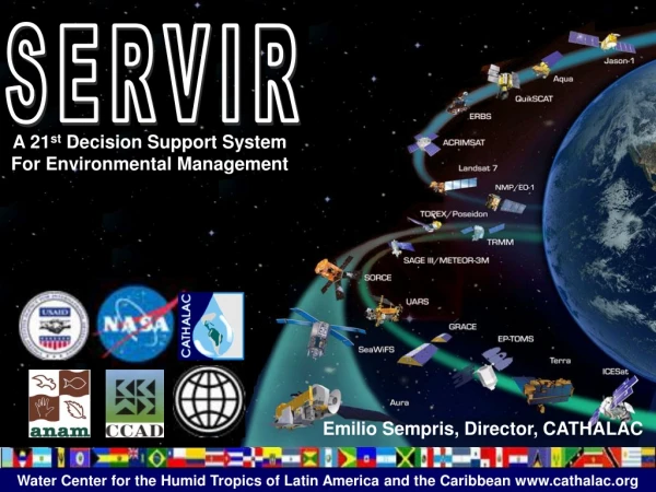
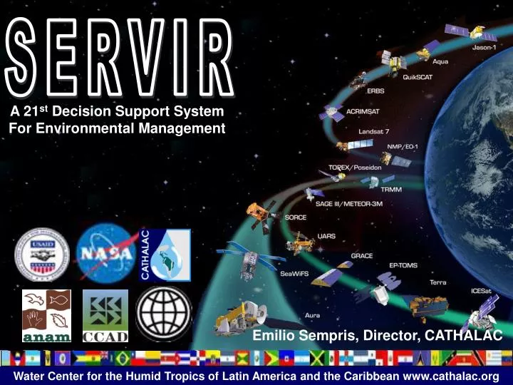
SERVIR. A 21 st Decision Support System For Environmental Management. Emilio Sempris, Director, CATHALAC. Mainstreaming Earth Observing System Products into Decision Making in Mesoamerica through the Implementation of the Regional Visualization and Monitoring System (SERVIR). SERVIR.

E N D
SERVIR A 21st Decision Support System For Environmental Management Emilio Sempris, Director, CATHALAC
Mainstreaming Earth Observing System Products into Decision Making in Mesoamerica through the Implementation of the Regional Visualization and Monitoring System (SERVIR) SERVIR
Regional and International Centers under UNESCO-IHP IRTCUD IHE IETCUD IRTCES RCTWSA HTHCSA CATHALAC is a regional center of excellence dedicated to promote human sustainable development through integrated water and environmental management.
City of Knowledge Complex CATHALAC801 City of Knowledge, Clayton, Ancon, Panama.
SERVIR INTERACTIVE DSS & Tools Water & Energy Balance Climate Change SustainableTourism Weather Forest Fires Natural Disasters Land Use and Agriculture Biodiversity IWRM/ICZM
SERVIR Infrastructure @ NASA/MSFC @ CATHALAC
Raster & Vector Data Sets http://servir.nasa.cathalac.org http://servir.nsstc.nasa.gov
Interactive Maps(IMS) http://servir.nasa.cathalac.org http://servir.nsstc.nasa.gov
Decision Support Tools http://servir.nasa.cathalac.org http://servir.nsstc.nasa.gov
Visualizations http://servir.nasa.cathalac.org http://servir.nsstc.nasa.gov
Weather and Climate Modeling Impacts, Vulnerability and Adaptation GIS & Remote Sensing Land Use Planning Satellite and Vector Data Management Interactive 3-D Spatial Visualizations IWRM / ICZM Training & Education 2004-2008