Download
1 / 16
160 likes | 306 Views
A Comparison of Continuation Models for Optimal Transformation of Gravimetric Data. By: Joanelle Baptiste Elizabeth City State University, NC Supervisor: Dr. Daniel Roman 8/6/04. Line Office (Overview). NOAA Ocean Service (NOS) National Geodetic Survey (NGS)

E N D
A Comparison of Continuation Models for Optimal Transformation of Gravimetric Data By: Joanelle Baptiste Elizabeth City State University, NC Supervisor: Dr. Daniel Roman 8/6/04
Line Office (Overview) • NOAA Ocean Service (NOS) • National Geodetic Survey (NGS) • Geosciences Research Division (GRD)
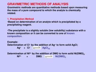
Terms to be familiar with • Ellipsoid • Geoid • Gravimetric • Gravity anomaly: Δg = gobs-γ • Mean Sea Level
P 0 Ellipsoid height, h = distance along ellipsoid normal (Q to P) Orthometric height, H = distance along plumb line (P0 to P) Geoid height, N = distance along ellipsoid normal (Q to P0) plumb line P H h ∟ “Ellipsoid” ∟ Q Geopotential Surface N GeopotentialSurface Earth’s Surface “Geoid” P, Q and P0 all have the same lat, lon values. Geopotential Surface Geoid height N = h – H Gravity anomaly Δg = gP0– γQ OCEAN
Planar Approach flat plane of the model space Earth’s curvedsurface
Conclusion • The planar method can be used to upward (or downward) continue data with some controls • Because of systematic effects (ringing), a region for continuation larger than actually desired should be used (add about 0.5 degrees to latitude/longitude limits) • Systematic average must also be accounted for and may be data dependent (i.e., a bias is introduced)
Importance of this Research • Supervisor/field assignment • Operational applications • Engineering • Navigational aid • Storm surge • Coastal flooding
Accomplishments via EPP Contributions: • Participant • NOAA
Acknowledgements • NOAA EPP staff • Dr. Daniel Roman • Mr. Edward Allen • Mr. Eric Linzey • Ms. Sonita Tiwari • Ms. Lucy Hall • Ms. Laura Cutrer • Class of 2004 (all my love)