Download
1 / 7
70 likes | 124 Views
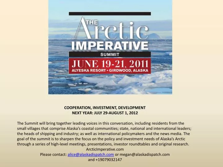
COOPERATION, INVESTMENT, DEVELOPMENT NEXT YEAR: JULY 29-AUGUST 1, 2012

E N D
COOPERATION, INVESTMENT, DEVELOPMENT NEXT YEAR: JULY 29-AUGUST 1, 2012 The Summit will bring together leading voices in this conversation, including residents from the small villages that comprise Alaska’s coastal communities; state, national and international leaders; the heads of shipping and industry; as well as international policymakers and the news media. The goal of the summit is to sharpen the focus on the policy and investment needs of Alaska’s Arctic through a series of high-level meetings, presentations, investor roundtables and original research. ArcticImperative.com Please contact: alice@alaskadispatch.com or megan@alaskadispatch.com and +19079032147
Arctic Transportation Routes Dutch Harbor • Greenland : • Thule Air Force Base (US), northern most Deepwater port • 21 smaller ports on the West Coast of Greenland • Iceland: • Reydarfjordur • Reykjavik • Norway: • Bergen • Tromso • Oslo • Stravanger • Russia: • Murmansk • Arkhangelsk • Tiksi • Provideniya • 11 smaller ports along the Northern Sea Route • United States: Dutch Harbor • Canada: • Tuktoyaktuk • Churchhill • Nanisivik • Iqaluit • Argentia Dillingham Nome Providenya Anadyr Kotzebue Prudhoe Bay Tuktoyaktuk Tiksi Hatanga Churchhill Thule AFB Amderma Nuuk, Greenland Murmansk Arkhangelsk Tromso Reykjavik & Reydarfjordur, Iceland Bergen Stravanger “Airports” -There are approx 20 airports located at or above 64 degrees latitude, circumpolar.
Comparative Shipping Routes From Rotterdam to: Yokohama: 20,600 km (Suez Canal); 8,500 km (Northeast Passage) Shanghai: 19,300 km (Suez Canal); 14,875 km (Northeast Passage) Vancouver: 16,400 km (Panama Canal); 12,850 km (Northeast Passage)
Map References Towns and industrial activities in the Arctic. (2010). In UNEP/GRID-Arendal Maps and Graphics Library. Retrieved 00:02, September 5, 2011 from http://maps.grida.no/go/graphic/towns-and-industrial-activities-in-the-arctic. Arctic transportation routes - roads, shipping and pipelines. (2007). InUNEP/GRID-Arendal Maps and Graphics Library. Retrieved 00:23, September 5, 2011 from http://maps.grida.no/go/graphic/arctic-transportation-routes-roads-shipping-and-pipelines. Northern Sea Route and the Northwest Passage compared with currently used shipping routes. (June 2007). In UNEP/GRID-Arendal Maps and Graphics Library. Retrieved 00:25, September 5, 2011 fromhttp://maps.grida.no/go/graphic/northern-sea-route-and-the-northwest-passage-compared-with-currently-used-shipping-routes. Current marine shipping uses in the Arctic. (May 2010). In UNEP/GRID-Arendal Maps and Graphics Library. Retrieved 00:12, September 5, 2011 from http://maps.grida.no/go/graphic/current-marine-shipping-uses-in-the-arctic. ArcticImperative.com alice@alaskadispatch.com or megan@arcticimperative.com