Download
1 / 9
90 likes | 189 Views
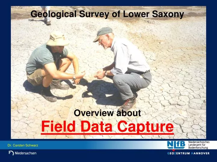
Geological Survey of Lower Saxony. Overview about Field Data Capture. Situation today. NLfB-staff is NOT using digital instruments for field work as standard tools. This Presentation will show. how we capture geological data in the field,

E N D
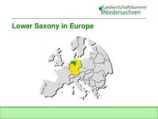
Geological Survey of Lower Saxony Overview about Field Data Capture
Situation today • NLfB-staff is NOT using digital instruments for field work as standard tools • This Presentation will show • how we capture geological data in the field, • how geological informations are described in the field (raw data), • the way: raw data processing and evaluation mapping products (maps, models, reports)
Landscape and Geol. Situation in Lower Saxony • 3 Major Types of Landscape • Low Mountains (up to 1000 m) Mesozoic and Paleozoic hardrocks • Lowlands Quaternary and Tertiary sediments (mainly softrock, peat) • Coastal Areas, Border Islands, North Sea Shelf Quaternary, mainly Holocene sediments (Tidal flat areas, marshlands, very soft material with intercalations of peat)
Drilling by hand • Equipment for Fieldwork • Auger drilling( ... and other heavy equipment) Examples only! • Drilling platform • Vibrocorer(... and other special equipment)
Fieldwork (per map sheet 1 : 25,000) • Drillings by Hand (down to 2 m depth) Results: 2000 - 5000 shallow borehole informations • Auger Drillings (down to 50 m depth) Results: ca. 50 own auger drillings • Evaluation of Borehole Descriptions from archives, provided by internal and external sources Results: 50 - 100 borehole descriptions • Recording of Raw Data
Application of Raw Data • All describtions of geological material in NLfB are following one key • Software in „SEP3-format“ (Programm for the standarized describtion of geological layers and their lithology) (deth / stratigraphy / petrography (main; others) / genesis / colour / samples) Geological informations of borehole Head informations of borehole
Data Set in „SEP3 - format“ • ... is base for all further working steps with different software. • NLfB is using the following software for processing the raw data: ArcInfo / ArcView GeODin GeoObject2 / Virgil (OpenGeo) MeMaS ... other GIS - software
Maps 3-D-Models • Resulting Products • Based on SEP - data the mentioned softwares are used as standard tools for the contructinon of Borehole Logs Fenced Diagramms Profiles
Summary • Reasons why we stopped our own testings with „field pc‘s“ - to heavy (esp. with extra battery packs) - weak protection against water, dust ... - display to small - display not readable in sunny conditions - memory to small - fear for loss of data • Decision - no digital data capture yet - watch the market - participate from neighbours experiences