Download
1 / 16
170 likes | 324 Views
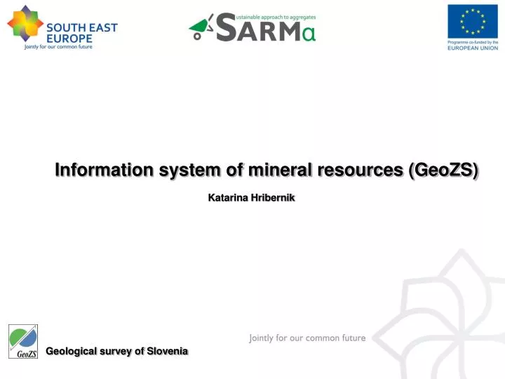
Information system of mineral resources (GeoZS). Katarina Hribernik. Geological survey of Slovenia. Complex GIS. Database Topografic layers (geographic info, maps, coordinates...) Web application GIS is not only a cartography!. 4 steps of GIS establishment: System analysis Data analysis

E N D
Information system of mineral resources (GeoZS) Katarina Hribernik Geological survey of Slovenia
Complex GIS • Database • Topografic layers (geographic info, maps, coordinates...) • Web application • GIS is not only a cartography!
4 steps of GIS establishment: System analysis Data analysis GIS design GIS realization
1. System analysis - define needs assesments – end users? - define GIS application functionalities level of GIS establishment - decision on software (we propose web application on ESRI ArcGIS server, database on SQL server) - format of information layers (we propose shape or grid) - geographic reference – coordinates (transformation, ETRS) result:specification of GIS functionality requirements
2. Data analysis - determine minimum of data (survey of available data...conceptual model!) - define all data layers Without proper data analysis there is no GIS design!
3. GIS design software specification (ArcGis, ArcReader, AutoCAD, Excel, MSAccess...) relational database construction information layers Metadata!– follow INSPIRE directive result: instructions for common GIS establishement
4. GIS realization - establishing of internet wiever – web application (ArcGIS server) result:functioning GIS application - portal
- SARMa GIS portal should allow visualization of common database and maps. The SARMa GIS portal will contain a catalogue and a map viewer. The catalogue will be used to search for datasets using their metadata and consult the available mineral resources point data and maps in the viewer application. Figure 1: SARMa GIS portal architecture
MAP VIEWER • The map viewer allows the user to: • change the visible extent of the map (pan, zoom in, zoom out,…) • manage the set of layers (visibility), • consult the legend for the available map layers, • perform an identify operation on the selected map layer (only one layer can be set “active”). • Query • Print • Legend display • Scale selection • Help • After identifying a map feature, a dialog will show some attributes of the selected feature on the map. • http://kalcedon.geo-zs.si/website/ms/viewer.htm • .