Download
1 / 18
180 likes | 190 Views
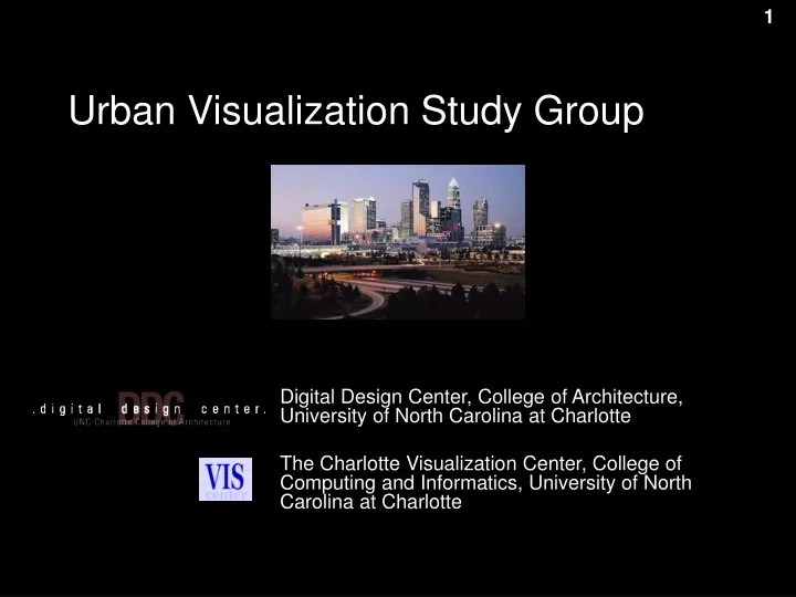
Urban Visualization Study Group. Digital Design Center, College of Architecture, University of North Carolina at Charlotte The Charlotte Visualization Center, College of Computing and Informatics, University of North Carolina at Charlotte. Urban Visualization Study Group.

E N D
Urban Visualization Study Group Digital Design Center, College of Architecture, University of North Carolina at Charlotte The Charlotte Visualization Center, College of Computing and Informatics, University of North Carolina at Charlotte
Urban Visualization Study Group Remco Chang, Research Scientist, Vis Center Eric Sauda, Professor, DDC Ginette Wessel, Graduate Research Assistant, DDC Dr. William Ribarsky, Vis Center Dr. Barbara Trversky, Stanford
Urban Visualization Importance • Google Earth and Map • Enhanced Keyhole with analytical capabilities • ESRI is the leader in Geographical Information Systems • The new push is in visual analytics • Problem is only getting bigger and more important • IEEE Spectrum (June 2007) • Difficult Problem • Large Scale (Geometric Modeling) • Very fine details (Geometric Modeling) • Multiple variables (Information Modeling) • Competing perspectives and interests (Cognitive Modeling) (Geometric Modeling) (Information Modeling) (Geometric Modeling) (Information Modeling)
Urban Visualization Definition Three Key Modalities • Geometric • The display of urban models • Informational • Information visualization of people and socioeconomic structures in a city • Cognitive • Individuals’ perspectives and understandings of a city • Semantic dimension
Urban Analysis Urban Training for Soldiers Urban Model Visualization and Evaluation Creating Intelligent Maps Urban Visualization Beneficial Apps?
New York City Washington DC Charlotte benefits Urban Analysis (1/3) • Quantifying cities allows us to perform… [5] • Analysis • Comparison • Improvement [5] T. Butkiewicz, R. Chang, Z. Wartell, W. Ribarsky. Visual Analysis of Urban Terrain Dynamics. UCGIS Dynamic Workshop 2006
benefits Urban Analysis (2/3) • How “structured” is a city? • Measures distances between clusters of buildings • “Grid-like” structures will have slower rises in the graphs • Concept based on Kevin Lynch [6] Atlanta, Georgia “[Legibility is] the ease with which [a city’s] parts may be recognized and can be organized into a coherent pattern.” – Lynch 1960 Xinxiang, China [6] K. Lynch. The Image of the City. The MIT Press, 1960.
benefits Urban Analysis (3/3) • AlphaWorld • Axial lines depicting roads [7] • Color indicates “integration” • Quantification based on Hillier’s Intelligibility concept • Integration vs. Connectivity “An intelligible system is one in which well-connected spaces also tend to be well-integrated spaces. An unintelligible system is one where well-connected spaces are not well integrated” – Hillier 1996 [7] Dalton, R. C. 2002. Is spatial intelligibility critical to the design of large-scale virtual environments? In Journal of Design Computing 4. Special Issue on Designing Virtual Worlds.
benefits Evaluating Urban Models (1/2) Original Model 45% polygons 18% polygons Create simplified urban models that retain the “image of the city” from any view angle and distance. Question: How “good” are the simplified models? [8] R. Chang, T. Butkiewicz, C. Ziemkiewicz, Z. Wartell, N. Pollard, and W. Ribarsky. Hierarchical simplification of city models to maintain urban legibility. Technical Report CVC-UNCC-06-01, Visualization Center, UNC Charlotte, 2006.
Original Model Simplified Model using QSlim Our Textured Model Our Model benefits Evaluating Urban Models (2/2) Visually and cognitively different, but quantitatively similar
Position-based Intelligent Labeling Generating Mental Maps Downtown Downtown Main Ave Main Ave City Park City Park Industrial District Industrial District Canal Canal E Street E Street You are here! You are here! benefits Intelligent Maps
benefits Urban Training • Training soldiers for urban combat [9] • Existing technologies (GPS, maps) are dangerous and difficult to use at times • New technologies (Augmented Reality) are cumbersome and unproven • Mental map of urban environment is the last line of defense [9] M. Livingston, L. Rosenblum, S. Julier, D. Brown, Y. Baillot, J. Swan, J. Gabbard, and D. Hix. An augmented reality system for military operations in urban terrain. In Proceedings of the Interservice / Industry Training, Simulation, and Education Conference, page 89, 2002.
Urban Modeling What We’ve Done • Collaboration between Computer Science and Architecture • Going beyond “data sharing” • Survey of Urban Theories • How they benefit urban modeling and visualization • Simplification of Urban Models • Understanding the geometric layout of a city • Visualization of a City • Combines geometric modeling with information modeling
project Urban Simplification (1/2) • Simplification based on Kevin Lynch’s concept of “Urban Legibility” • Preserves • Paths • Edges • Nodes • Districts • Landmarks Downtown Charlotte Changing pixel tolerance affects the amount of abstraction [14] R. Chang, T. Butkiewicz, C. Ziemkiewicz, Z. Wartell, N. Pollard, and W. Ribarsky. Hierarchical simplification of city models to maintain urban legibility. In SIGGRAPH ’06: ACM SIGGRAPH 2006 Sketches, page 130. ACM Press, 2006
project Urban Visualization Focus Dependent, Multi-Resolution Visualization of Urban Relationships [15] R. Chang, G. Wessel, R. Kosara, E. Sauda, and W. Ribarsky. Legible Cities: Focus-Dependent Multi-Resolution Visualization of Urban Relationships. To Appear: InfoVis 2007, IEEE Transactions on Computer Graphics.
Urban Modeling Thoughts… • Geometric Modeling • Automatic identification of legibility elements • Analyze cities with quantifiable measurements • Information Modeling • Intelligent labels • Cognitive Modeling • Automatic generation of mental maps • Perspective-based urban visualization • Evaluation and evaluation metrics for urban visualization • Long Term Goals • Create a foundation for understanding complex urban environments • New urban theory on how cities are conceptualized
Urban VisualizationComputer ScienceCognitive ScienceArchitecture