Download
1 / 16
160 likes | 254 Views
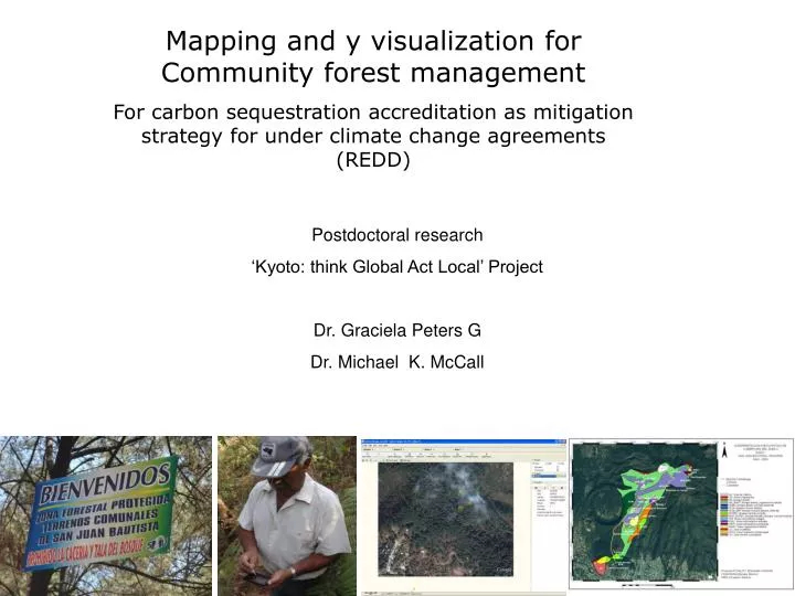
Mapping and y visualization for Community forest management For carbon sequestration accreditation as mitigation strategy for under climate change agreements (REDD). Postdoctoral research ‘Kyoto: think Global Act Local’ Project Dr. Graciela Peters G Dr. Michael K. McCall.

E N D
Mapping and y visualization for Community forest management For carbon sequestration accreditation as mitigation strategy for under climate change agreements (REDD) Postdoctoral research ‘Kyoto: think Global Act Local’ Project Dr. Graciela Peters G Dr. Michael K. McCall
Requirements for REDD Demonstrate the reduction of degradation levels and increase in carbon sequestration. • Comparison of series of forest inventories through time. • But.. • In most DCs there is no consistent data about changes in forest resources over time. • Forest inventories do not exist or have not been systematically fulfilled • Forest inventories demand large human, technical and economic resources
‘Kyoto: think Global Act Local’ Project Since 2003, the KGAL project has developed and tested procedures and tools for the evaluation and monitoring of carbon sequestration by training local communities in data acquisition. The project works with local NGOs and research institutes in Malí, Senegal, Guinea-Bissau, Papua Nueva Guinea, Tanzania, Nepal and Uttarkhandl (India).
The K: TGAL project in México • Methodology for producing spatial information related to Community Forest Management • Based on the use of free software : GIS (ILWIS) and databases (CyberTracker) • Free images from Google • Use of IPAQs, GPS and smart phones for the acquisition of geo-referenced data
Information related to Community Forest Management and Carbon Sequestration Information for establishing the initial management scenario (year 0) Information for forest inventories • Boundaries • Community Infrastructure • Location of activities contributing to forest degradation such as: illegal logging , grassing, marginal agriculture, illegal settling, urban encroaching • Location of areas potentially affected by hazards (fires, soil loss flooding, strong winds etc) • Current and planned ecotourism • Conflicts (land use, boundaries, etc) • Delimitation of strata • Location of sampling plots for measuring different carbon pools • Geo-referentiatión of trees and other features for future location of the parcels. • Field measuring and storing of DBH and tree height in databases.
Free Software that can be used in an IPAQ or smart phone for collecting several types of data
Notes List numbering List checking
GPS Saving geo-referenced information for point location (i.e plot central trees)
Mapping and location of community infrastructure in forest areas
Mapping activities contributing to forest degradation Location of areas undergoing continuous illegal logging
Conflict mapping: Illegal selling of community land, crops, boundaries, private Infrastructure, illegal settling and urban encroaching
Information for forest inventories Delimitation and participatory mapping of forest strata
Field collection of geo-referenced data on DBH and tree height in digital databases using cybertracker and smart phones 23 18 13 37 12 12 12 15 12 12
Preliminary Conclusions • The methodology for CFM data collection during fieldwork is easy to apply at community level and requires a minimum time of training and people’s familiarisation with the gadgets and software (cybertracker) applications. • The information collected is crucial to determine year 0 scenarios, location of different forest management practices, activities contributing to forest degradation, and carbon sequestration (strata, transects, sampling plots etc). • the Geo-referencing of sampling plots, trees and other features ease the process of carbon sequestration measuring and future monitoring • The use of free software and the involvement of communities for the acquisition of ground data reduce the cost of information management required to access carbon sequestration benefits • The spatial and non-spatial information produced can be used to support other type of community projects and activities such as land use planning, PES, ecotourism, socioeconomic programmes and the like.