Download
1 / 26
260 likes | 424 Views
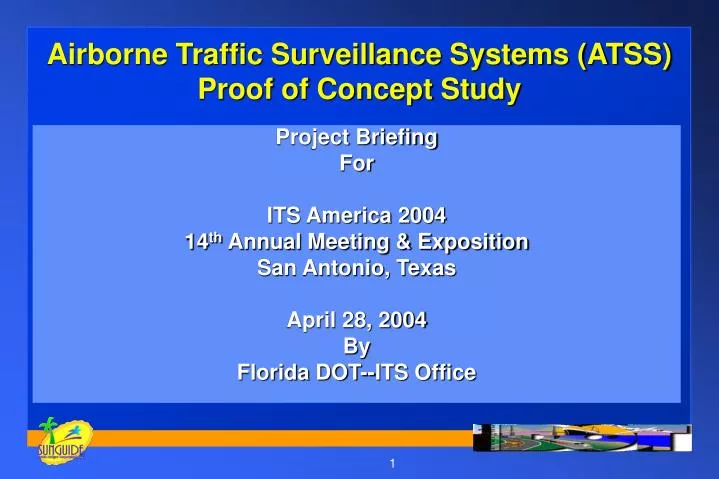
Project Briefing For ITS America 2004 14 th Annual Meeting & Exposition San Antonio, Texas April 28, 2004 By Florida DOT--ITS Office. Airborne Traffic Surveillance Systems (ATSS) Proof of Concept Study. Background. Need for ATSS

E N D
Project Briefing For ITS America 2004 14th Annual Meeting & Exposition San Antonio, Texas April 28, 2004 By Florida DOT--ITS Office Airborne Traffic Surveillance Systems (ATSS)Proof of Concept Study
Background Need for ATSS • To provide traffic information on transportation network and incidents • Communications linkage to RTMC & EOC • Support traffic management decision making • Support emergency management decision making
Background Multiple uses in traffic and emergency management • Traffic management at all levels • Incident management -- includes HAZMAT • Weather support • Pre-disaster, post-disaster support • Damage assessment support • Fire suppression support
Why UAV? • Provides real-time data for traffic assessment and management • Permits timely view of disaster area to access severity of damage • Provides law enforcement agencies with surveillance and identification capability • Provides cost effective transportation surveillance, less danger to personnel
ITS Office Manager: Chester H. Chandler, P.E., FDOT Principal Investigator: Haniph Latchman , Ph.D., UF Project Manager: Liang Y. Hsia, P.E., FDOT Communications: Roger Madden, PB Farradyne Flight Coordinator: Lorin Krueger, LK Consultants Key Staff
University of Florida (UF) Research Team FDOT ITS Office, Safety, Public Information Tallahassee Commercial Airport SRA/Aerosonde--UAV integrator/ vendor University of North Florida Road Weather Information Systems (RWIS) Research Team State Emergency Operations Center (SEOC) ProjectTeam
Florida State Agency Support • FDOT -- ITS Office, Safety, Aviation • DCA -- Division of Emergency Management State Emergency Operations Center (SEOC) • FDLE & other Law Enforcement • FHWA
Study Objectives • Investigate integration of ATSS—Proof of Concept • Use UAV with video for data collection/surveillance • Utilize current FDOT microwave system • Link video data to appropriate RTMCs and EOCs • Use process and results to plan for future applications in statewide remote sensing • Support FAA rule development on future UAV operations in National Airspace (NAS)
Concept of Operations Iridium C2 H&S Met Data 1.6 GHz/2.4 kbps C2 Tallahassee Commercial Airport Internet NFU UAV GCS Iridium Gateway H&S Met Data Video Video 6 GHz/DS-1 Tallahassee FHP MW Tower Video Video I-75 SEOC 1000 ft 100 miles I-10 Lake City
Flight Operations • Originate at Tallahassee Commercial Airport (TCA)-Climb to 1000 feet • Fly I-10 corridor to I-10/I-75 interchange area • Avoid obstructions and populated areas • Orbit I-10/I-75 interchange and provide video data to SEOC through FDOT microwave system • Return to TCA at end of mission
Flight Operations • Ten-day duration – tentative start on May 10, 2004 • One day flight every day for up to 10 hours • One night flight every other day for up to 10 hours • Several 20-hour flights also planned • Flight requirements may be modified, depending on weather or data collection requirements
Flight Operations • Safety, security, command and control are key factors • No chase plane requirement requested • Night flights scheduled • Autonomous flight • Contingency plans for emergency operations
FDOT UAV Flight Experience • Miami Beach -- ITS America -- June 3-4, 2001 • FHWA support on COA approval • Opa Locka West Airport • Day flights -- US-27, I-75, Turnpike • Chase plane -- FHP support • Successful missions flown
UAV for ATSS Flights - Aerosonde UAV vendor -- Aerosonde • Weight -- 30 lbs., Wingspan -- 9.5 ft., Length -- 6 ft. • Range/Endurance -- 1600 nm/30 hours • Speed/Climb -- 35-80 kts., 350 ft/min • Launch/Recovery -- car rack/belly land • Altitude -- 300 to 20,000 ft.
Coordination • FAA -- Certificate of Authorization (COA) request submitted on May 30, 2003 • FCC -- Frequency review and approval process with FCC. Radio station approved for SRA until 2005 -- Sep 2003 • Communications equipment procurement complete. Initial checks completed -- Oct 2003 • Simulation of ground communications network completed -- Apr 2004
Network Communications Simulation - April 20, 2004 • Objective -- to demonstrate the connectivity of the communications network • To delineate the signal strength and provide a basis for switching video signals between the two input microwave towers • To validate switching software
After COA Approval - Next Steps • Conduct surveillance/data collection flights • Prove concept which provides traffic surveillance video through in-place communications infrastructure (Microwave) to State Emergency Operations Center -- SEOC • Document flight operations for future UAV deployments • Provide FAA with recommendations for future UAV operations
Future Florida Applications • Traffic surveillance for Florida’s rural and urban highway network • Forest surveillance for fire detection • Coastline remote sensing for Homeland Security • Maritime and seaport surveillance for identification and law enforcement • Weather data collection for hurricane and other disaster support
Contact Information For additional information on this project or other Intelligent Transportation System initiatives please go to: www.dot.state.fl.us/IntelligentTransportationSystems
Airborne Traffic Surveillance Systems Thank you for your interest in this project. Questions?