Download
1 / 32
320 likes | 423 Views
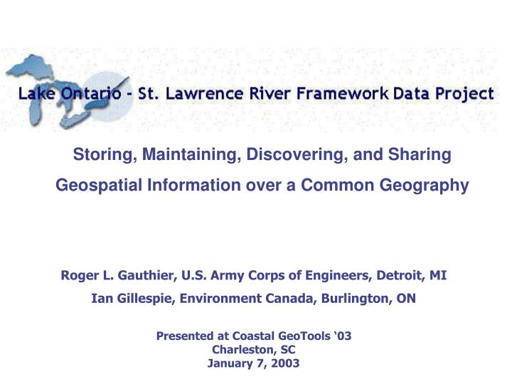
Storing, Maintaining, Discovering, and Sharing Geospatial Information over a Common Geography. Roger L. Gauthier, U.S. Army Corps of Engineers, Detroit, MI Ian Gillespie, Environment Canada, Burlington, ON Presented at Coastal GeoTools ‘03 Charleston, SC January 7, 2003.

E N D
Storing, Maintaining, Discovering, and Sharing Geospatial Information over a Common Geography Roger L. Gauthier, U.S. Army Corps of Engineers, Detroit, MI Ian Gillespie, Environment Canada, Burlington, ON Presented at Coastal GeoTools ‘03 Charleston, SC January 7, 2003
Lake Ontario - St. Lawrence River Study Overview Improve lake level control strategies to: • reduce economic losses due to high/low water levels episodes; • protect/restore nearshore habitats; • reduce disruptions to recreational boating; while: • maintaining economic viability of hydropower generation; • maintaining stable levels and flows for commercial navigation; • maintaining suitable conditions for municipal water systems. International Joint Commission five-year $27M bi-national study Objectives
Lake Ontario Ontario and New York 1,150 kilometers of shoreline 19,000 square miles of water 95,000 square kilometers of land 14,000 miles of shoreline 95,000 square miles of water 200,000 square miles of land Upper St. Lawrence RiverOntario and New York170 kilometers in length1,050 kilometers of shoreline Lower St. Lawrence RiverMostly in Quebec700 kilometers to Gulf of St. LawrenceMontreal downstream to Trois Riviere affected by tributary inflows; tides influence downstream of Trois Riviere
Lake Ontario - St. Lawrence River Study Study Background • The International Joint Commission (IJC) established the LOSLRS to address public interests in modifying criteria used to determine outflow controls from Lake Ontario through the St. Lawrence River. • The LOSLRS is examining differing regulatory strategies affecting level and flow regimes and their effects on: hydropower, environment/ wetlands, coastal processes, recreational boating, tourism, municipal/ and industrial water supplies, commercial navigation, and others. • Technical Working Groups (TWGs) are formed for each user sector leading to definition of Performance Indicators by each and user specific models. • Two special groups are included: Public Interest Advisory Group and Plan Formulation and Evaluation Group.
Lake Ontario - St. Lawrence River Study Study Background • Models are heavily dependent on geospatial information as inputs (e.g., elevations, cultural data) and outputs (change in wetlands, shoreline erosion). • Information Management TWG was established to provide for consistency, and easy access to information by Study participants and other parties-at-interest (e.g., public, research community, media). • High priority has been placed on transparency of Study process (models & inputs) and results (outputs and decision-making framework). • IM Needs Assessment and Strategy Development was commissioned to evaluate benefit/costs for different system configurations. • Participation in NSDI & CGDI was promoted for data discovery, and implementation of distributed storage/access/maintenance system
Lake Ontario - St. Lawrence River Study Primary Data Acquisition
Lake Ontario - St. Lawrence River Study NOAA/ CHS Lake Ontario Composite Bathymetry
Lake Ontario - St. Lawrence River Study Irondequoit Bay Harbor Entrance Rochester Harbor Entrance Braddock Point Land -3 m -6 m –9 m –12 m –15 m
Lake Ontario - St. Lawrence River Study DEM Derived from SHOALS and FDRP Mapping
Lake Ontario - St. Lawrence River Study Detailed Wetland Study Sites
Lake Ontario - St. Lawrence River Study Color IR Digital Orthophotography of Wetlands
Lake Ontario - St. Lawrence River Study Wetlands Elevation Points and Derived DEM
Lake Ontario - St. Lawrence River Study Montreal Area DEM with Co-Registered IKONOS imagery
Lake Ontario - St. Lawrence River Study Parcel Data Overlay at Maximum Flood Extent
Lake Ontario - St. Lawrence River Study Time Series Data on Levels, Outflows and Supplies
Information Management Strategy Lake Ontario - St. Lawrence River Study • Data Discovery (how to find the data, including metadata) • Data Storage, Maintenance, Access and Distribution (how the data is stored and maintained) • Document and general information management
Project Purpose The Lake Ontario – St. Lawrence River (LOSLR) Framework Data Project will integrate, afford discovery of, and begin to provide for the long-term storage, maintenance, and flexible accessibility of a number of “framework data” layers. The project is designed to provide a scalable system with respect to new participants, data types, geographies, and data uses, and to augment the growing knowledge base by documenting all procedures, policies, and lessons learned, and making these widely available.
Other Cooperators / Future Relationships • USGS National Mapping Division • USGS Biological Resources Division • NOAA Coastal Services Center • NY State GIS Clearinghouse • Cornell University
Geospatial Management Issues (Discover / Evaluate / Access) • Framework and non-framework geodata • Metadata • Web-mapping service – for geodata evaluation and review; limited query and analysis functionality • Data access and distribution
CAP Grant Activities • Develop distributed web mapping service configuration to share framework and non-framework datasets between study participants and promote public distribution • Compile high resolution geospatial framework data, including: • terrain data for bathymetry and topography; • digital ortho-imagery; • shoreline characteristics; and • political units • Develop interagency relationships promoting standards and protocols for information exchange
Non-Framework Data Framework Data • Shoreline Characteristics • Beach Morphology • Subaqueuos Types • Historic Erosion Rates • Predicted Blufflines • Water Intakes / Outfalls / Pipelines • Protective Structures • Navigation Structures • Boat Ramps / Piers / Docks • Environmental Data • Wetlands Extent and Type • Fisheries Data • Exotic and Invasives • Contamination Areas • Economic Features • Parcel Data • Hydrologic Data • Levels, Flows, Datums • Climatic Variables • Hydraulic Characteristics • Over 100-150 additional themes • Elevation • Bathymetry • Topography • Imagery • Hydrologic Features • Shorelines • Rivers, Lakes and Streams • Flood Zones • Transportation Features • Political Units • Control
Shoreline Characteristics • Contiguous shoreline • Standardized to chart datum (low water IGLD-1985) • Dynamic shoreline addressing changes in water levels • Developed from highest-resolution topography and bathymetry • Rivermouth complexities to be addressed in detail
Vertical Data Integration (same geographic references and scale differences) • Shorelines: 1:24,000 (U.S.) / 1:10,000 (Cdn) replaced by 1:200 planimetric feature collection and/or 4-meter DEM data postings • Hydrology: connectivity between higher resolution features with adjacent lower resolution features • Elevations: Nesting of 30/10/4-meter digital elevation data • Same projections, units, spheroids and datums Horizontal Data Integration (edge matching) • Shorelines: Inconsistent scales along various reaches / connectivity at international and provincial borders • Transportation and other cultural features: insure connectivity at international and provincial borders.
Suggested Coastal Geo-Tools Conference Follow-up Wednesday, January 8, 2003 2:30-4:00 p.m. Breakout Session - Hazards: Impact Models Integration of Geospatial Layers, Economic Data and Custom Modeling Tools to Quantify Coastal Hazards and Economic Damages on Lake Ontario and the St. Lawrence River. P. Zuzek, W.F. Baird and Associates, Madison, WI; T. Bender, U.S. Army Corps of Engineers, Buffalo, NY; R. Moulton, Environment Canada, Burlington, ON
Incorporation of Standards (Information) and Specifications (Applications/Services) • FGDC compliant metadata (1998); Shoreline Profile (2001) • Framework Data Models under development (transportation and others themes for 2003 completion) • Incorporate ISO and OpenGIS Consortium (OGC) specs for GLINDA Metadata Clearinghouse and Catalogs, Web Mapping Services, Style Layer Descriptors, etc. • Follow Geospatial Interoperability Reference Model (GIRM) (http://gai.fgdc.gov/girm/)
Project Milestones and Status • Project Website on-line: http://www.glin.net/gis • Framework Strategy on website • Data Discovery / Metadata workshop completed • Data Integration Guidelines being developed • Web Mapping Workshop to be held in February 2003 • Project reporting to be completed by May 2003
Next Steps • Develop and implement Web Mapping Services / Data Access Services by March 30, 2003 • Document lessons learned • Evaluate and select business model – necessary for sustaining LOSLRS Framework beyond the 5-year Study [already in year 2] • Expand participation (e.g., New York State, provincial Quebec, NOAA) • Expand spatial extent to entire Great Lakes watershed
For Further Information Contact: Ian GillespieRoger Gauthier Environment Canada Great Lakes Commission 867 Lakeshore Road 2805 South Industrial Hwy, Suite #100 Burlington,ON L7R 4A6 Ann Arbor, MI 48104-6791 Ph: 905-336-4527 Phone: 734-971-9135 Fax: 905-336-4906 Fax: 734-971-9150 Ian.Gillespie@ec.gc.ca Gauthier@glc.org