Download
1 / 13
130 likes | 141 Views
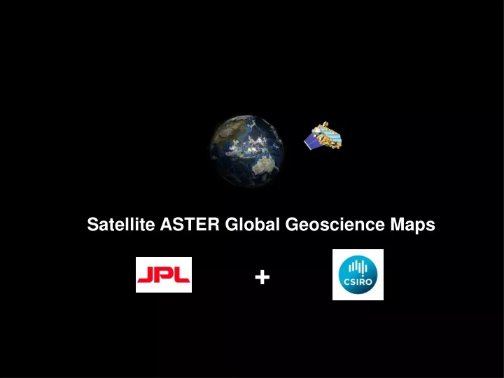
Satellite ASTER Global Geoscience Maps. +. ASTER Instrument. Launched in 1999 on Terra Platform Joint project of U.S. NASA and Japan Ministry of Economy, Trade, and Industry Wide Spectral Coverage 14 bands in VNIR, SWIR, TIR High Spatial Resolution 15m to 90m

E N D
ASTER Instrument • Launched in 1999 on Terra Platform • Joint project of U.S. NASA and Japan • Ministry of Economy, Trade, and • Industry • Wide Spectral Coverage • 14 bands in VNIR, SWIR, TIR • High Spatial Resolution • 15m to 90m • Along-Track Stereo Capability • 60km Swath Width Michael Abrams, JPL AGU Dec 2014 San Francisco
ASTER Geoscience Maps of Australia False Color IR Landsat TM regolith ratios Green vegetation Ferric oxide content Ferric oxide composition Ferrous iron index Opaque index AlOH group content AlOH group composition Kaolin group index FeOH group content MgOH group content MgOH group composition Ferrous iron in MgOH/Carbonate Silica index Quartz index Gypsum index
False Colour Infrared Australian ASTER mosaic comprises 3500 ASTER scenes spanning a 10 year period. Mosaic was cross-calibrated (reduced to reflectance) using Hyperion satellite hyperspectral imagery. low high
AlOH Group Composition e.g. Al-Clays: phengite, muscovite, paragonite, lepidolite, illite, brammalite, montmorillonite, kaolinite, dickite, beidellite White mica chemical gradients (exploration) Transported versus in situ regolith materials. Productive agricultural soils. Surface permeability (water catchments). pH indicator. Al-rich muscovite/illite kaolinite paragonite beidellite Al-poor muscovite/illite (phengite) montmorillonite
phyllic zone argillic zone oxidised zone 5 km Au Cu Distal Footprints Halls Creek Mobile Zone, WA published 250K geology ASTER AlOH Group composition
Silica Index Proportional to SiO2 content but also effected by particle size. Regolith mapping. low high
Desertification Index Soil loss through wind erosion low high
From ASTER Geoscience Maps of Australia To ASTER Global Geoscience Maps
Division of Work CSIRO Provide software to JPL Install s/w Provide tech support QC finished products Distribute maps JPL Provide all L1T data Cloud-mask data Mosaic, cross calibrate QC finished products Distribute maps