Download
1 / 17
170 likes | 177 Views
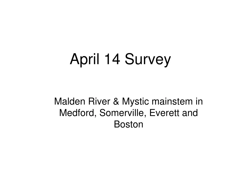
April 14 Survey. Malden River & Mystic mainstem in Medford, Somerville, Everett and Boston. OLIVER layers: USGS Waterbodies + Mass Towns. Overview of survey area. Orthophoto of survey area. OLIVER layers: Images/Orthophotos/Color 2005. Land use in survey area.

E N D
April 14 Survey Malden River & Mystic mainstem in Medford, Somerville, Everett and Boston
OLIVER layers: USGS Waterbodies + Mass Towns Overview of survey area
Orthophoto of survey area • OLIVER layers: Images/Orthophotos/Color 2005
Land use in survey area • OLIVER layers: USGS Waterbodies + Physical resources/Land use
Impervious surface in survey area • OLIVER layers: USGS Waterbodies + Images/Impervious Surfaces
Elevation contours in survey area • OLIVER layers: USGS Waterbodies + Physical resources/Topography-Contours-30’ Lines & Labels
How is this useful to the survey? … Think about your segment • Main land uses • Are there major parcels, or is residential? What kind? • Is it landscaped? Natural? Are there large expanses of impervious surface? Of parks? • Are their roads nearby? Who owns them? Are they sandy or swept? • What are the activities that go on in these areas? • Kids playing, people walking dogs, construction, truck/fleet management? • Are there commercial areas like stores or offices where people throw cigarette butts? Wash their cars? Feed geese? • Look behind you! • Concerned not just with the river, but direct abutters and the adjacent neighborhoods • What is the topography? Where does stormwater come from? Where does it have a chance to pick up pollutants? And what can we do to fix this?
Yahoomaps.com Overview of segment: Assembly Square START: RT 28 END: FENCE S OF DRAW7 PARK Most of south bank is accessible by a path
Towns in segment MEDFORD EVERETT SOMERVILLE
Where to find map info • MassGIS / Oliver • http://www.mass.gov/mgis/mapping.htm • Overview: OLIVER layers: USGS Waterbodies + Mass Towns • Orthophoto: OLIVER layers: Images/Orthophotos/Color 2005 • Land use: OLIVER layers: USGS Waterbodies + Physical resources/Land use • Impervious surface: OLIVER layers: USGS Waterbodies + Images/Impervious Surfaces • Elevation contours: OLIVER layers: USGS Waterbodies + Physical resources/Topography-Contours-30’ Lines & Labels • Yahoo Maps • GoogleEarth
The process • April 9th and 10th: Training • April 14th [15th for some boaters] • Do the survey • Must return cameras & GPS that day • Monday, April 22nd • Return completed surveys to us • Please neaten up MAP TABLE w/ GPS cells and pic descriptions • May ?? • Follow up meeting to discuss results and plan actions