Download
1 / 6
60 likes | 158 Views
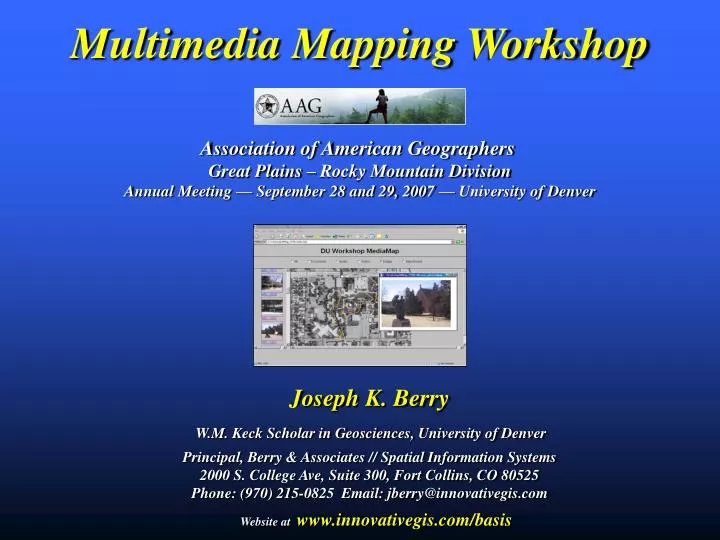
Multimedia Mapping Workshop. Association of American Geographers Great Plains – Rocky Mountain Division Annual Meeting — September 28 and 29, 2007 — University of Denver.

E N D
Multimedia Mapping Workshop Association of American Geographers Great Plains – Rocky Mountain Division Annual Meeting — September 28 and 29, 2007 — University of Denver Joseph K. BerryW.M. Keck Scholar in Geosciences, University of DenverPrincipal, Berry & Associates // Spatial Information Systems2000 S. College Ave, Suite 300, Fort Collins, CO 80525Phone: (970) 215-0825 Email: jberry@innovativegis.com Website at www.innovativegis.com/basis
Geographic Information Systems Global Positioning System Remote Sensing • Computer Classification of RS Data • Precision Ag • Infrastructure Routing and Risk Analysis • Geo-Business Competition Analysis • Wildfire Risk Modeling • Internet Mapping • Multimedia Mapping • Virtual Reality Analysis involves investigation of spatial relationships (numerical) Mapping involves precise placement (delineation) of physical features (graphic) Prescriptive Modeling Descriptive Mapping (Nanotechnology)Geotechnology(Biotechnology) Geotechnology is one of the three "mega technologies" for the 21st century and promises to forever change how we conceptualize, utilize and visualize spatial relationships in scientific research and commercial applications GPS/GIS/RS WhereisWhat (Berry)
Four categories of Internet Mapping information available: • Static Graphic Images– standard graphic files (e.g., .jpg, .tif, .gif, etc.) • Interactive Maps– user is allowed to select map layers to display (e.g., .jpg, etc.) • Animated Graphic Images– dynamic maps that change with time or other conditions (e.g., .avi, .mpg, etc.) • Mapped Data– actual mapped data is downloaded and viewed in a map viewer or GIS system Internet Mapping CAUTION: Geo-registration issues, mismatched resolutions, authenticity (Berry)
…take pictures with a digital camera or video recorder while carrying a GPS with ‘track logging’ then link the Lat/Lon with each picture. • Digital Camera • What (picture) • When (time) Pictures are “posted and linked” to a mapEstes Park example • When (time) • Where (X,Y) GPS Unit Still Images Streaming Video Audio Text Data Hyperlinked URLs Export to HTML and post to Internet Multimedia Mapping Basics (Berry)
IsWhere by Red Hen System …Google Earth accepts geo-tagged photos and “posts” hyperlinks on its 3D surface MetaLens by National Geographic Maps Viewing Geo-tagged Photos in Google Earth (Berry)
Satellite Page— displays satellite tracking information • Map Page— displays current position • Navigation Page— directional information • Trip Computer— displays navigation data summaries • Main Menu— access advanced features Mark Waypoint, Find Menu, Routes, Tracks, Setup and Accessories Pages (click for interactive demo) …refer to workshop instructions GPS Navigation (using Garmin eTrek) (Berry)