Download
1 / 36
360 likes | 492 Views
I-49 Inner City Connector Feasibility Study. Community Input Meetings I June 20 – 25, 2009. Welcome. Kent Rogers Executive Director Northwest Louisiana Council of Governments. 2. Northwest Louisiana Council of Governments (NLCOG). Intergovernmental association of local governments.

E N D
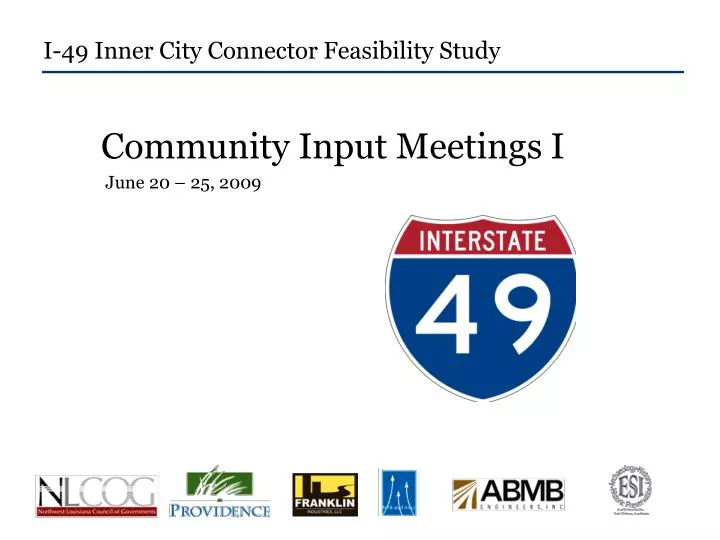
I-49 Inner City Connector Feasibility Study Community Input Meetings I June 20 – 25, 2009
Welcome Kent Rogers Executive Director Northwest Louisiana Council of Governments 2
Northwest Louisiana Council of Governments (NLCOG) • Intergovernmental association of local governments. • Established to assist in planning for common needs, cooperating for the mutual benefit, and coordinating for sound regional development. • Develop and implement constructive and workable policies and programs for solving area wide problems, including transportation. 3
Agenda • Welcome • Presentation • Public survey • Corridors • Wrap-up 4
Presentation Phillip Parker Providence Engineering 5
Goals and Objectives Winnipeg, Canada • International Interstate Corridor • To connect the Port of New Orleans to Winnipeg, Canada Shreveport 6 New Orleans
What is an Inner City Connector? Louisiana’s current Interstate system 7
What is an Inner City Connector? Existing I-49 Louisiana’s current Interstate system 8
What is an Inner City Connector? Future I-49 South Existing I-49 Louisiana’s current Interstate system 9
What is an Inner City Connector? Future I-49 North Future I-49 South Existing I-49 Louisiana’s current Interstate system 10
What is an Inner City Connector? Future I-49 North 3-mile gap of unplanned interstate Future I-49 South Existing I-49 Louisiana’s current Interstate system 11
What is an Inner City Connector? 3-mile gap of unplanned interstate Louisiana’s current Interstate system 12
Inner City Connector Project Area Future I-49 North LA Tech College Municipal Auditorium Booker T. Washington 13 Existing I-49
Inner City Connector Project Area Future I-49 North LA Tech College Municipal Auditorium Booker T. Washington 3-mile gap of unplanned interstate 14 Existing I-49
Project Purpose and Need While this portion of the I-49 Corridor was defined as far back as 1976, lack of funding and community support have prevented further study and development of the route. Therefore, a current purpose and need statement has been developed to support the I-49 Inner Connector. 15
Project Purpose and Need The purpose and need of the proposed facility are: 1. To provide connectivity between the existing I-49 and the future presently designated I-49 North that is proposed to terminate at I-220 in Shreveport. 16
Project Purpose and Need The purpose and need of the proposed facility are: 1. 2. To provide connectivity between the existing I-49 and the future presently designated I-49 North that is proposed to terminate at I-220 in Shreveport. To improve the safety of present routes (I-20 at I-49) and to provide an alternate route for hazardous materials, currently being transported across Cross Lake, the designated water supply for the City of Shreveport. 17
Project Purpose and Need The purpose and need of the proposed facility are: 1. 2. 3. To provide connectivity between the existing I-49 and the future presently designated I-49 North that is proposed to terminate at I-220 in Shreveport. To improve the safety of present routes (I-20 at I-49) and to provide an alternate route for hazardous materials, currently being transported across Cross Lake, the designated water supply for the City of Shreveport. To support economic development by providing improved access to downtown from the west and a continuous I-49 route through Shreveport-Bossier to encourage development through Louisiana, Arkansas, and Texas. As a result of its construction, the I-49 Inner Connector will accommodate future potential development and promote orderly growth. 18
Where we are . . . LaDOTD New Project Delivery Process
Where we are . . . Current Stage March 2009 to Sept 2010 10 – 20 years 20
Feasibility Study and Alternatives Analysis Evaluation of Alternative Alignments • Impacts of Major Environmental Area and Existing Land Use (landmarks, etc.) • Community Cohesion/Neighborhood Connectivity • Traffic Analysis/Report (Access) • Right-of-Way Requirements • Utilities • Preliminary Cost Estimates • Road Type (elevated, street level, depressed, use of existing streets) • Preparation of Alternatives Report/Matrix
Design Considerations • Pedestrian Access • Bicycle Access • Future Developments including Traditional Neighborhood Developments • Green Spaces • Marketplace/ Open Areas • Aesthetic Overpasses • Arterial Boulevards
Public Participation Perry Franklin Franklin Industries
Public Participation www.i49shreveport.com Online Survey 22
Public Participation • Community Input Meetings • June: Public Input • September: Corridors & Design • Final Public Comment 23
Survey Public Input Survey Discussion Guide Pages 4 - 7 24
Survey Discussion Guide pages 4 - 7 25
Corridors 26
Corridors How do we connect the stars? ? 27
Corridors We want your ideas! Insert picture of map that’s been drawn on 28
Corridor Exercise Work with your table to draw a preferred corridor. Things to Consider • Design type (ie. elevated, street level, depressed, use of existing streets) • Landmarks • Traffic flow • Community cohesion • Access to different areas of town 29
Corridor Exercise Work with your table to draw a preferred corridor. Your Tools • Marker – use to draw best route • Orange dots – use to indicate landmarks to consider when planning a route • Yellow dots – use to indicate interchange of first preference and interchange of second preference 30
Corridor Exercise Work with your table to draw a preferred corridor. Team Rules • Respect your neighbors and their opinions as if they were your own. • Be open and honest. • Work with your team to come to a consensus on one corridor 31
Corridor Exercise We want you to show us! Insert picture of person holding completed map 32
Coming next . . . Community Input Meetings II: Corridors and Designs September 2009
Coming next . . . www.i49shreveport.com Info line 1-877-893-8295 34