Download
1 / 15
160 likes | 335 Views
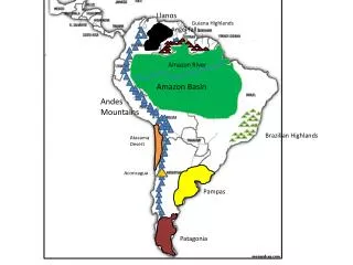
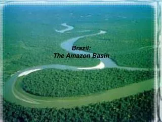
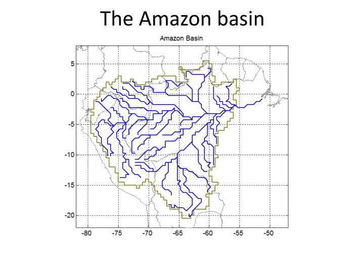
The Amazon basin. Gauge stations. VIC+LLR: Calibration / Validation. Nash Sutcliffe Calibration 60.5 % Validation 67.1 %. VIC+LLR: Calibration / Validation. Nash Sutcliffe Calibration 75.3 % Validation 84.0 %. VIC+LLR: Calibration / Validation. Nash Sutcliffe Calibration

E N D
VIC+LLR: Calibration / Validation • Nash Sutcliffe • Calibration • 60.5 % • Validation • 67.1 %
VIC+LLR: Calibration / Validation • Nash Sutcliffe • Calibration • 75.3 % • Validation • 84.0 %
VIC+LLR: Calibration / Validation • Nash Sutcliffe • Calibration • 79.6 % • Validation • 69.8 %
VIC+LLR: Calibration / Validation • Nash Sutcliffe • Calibration • 95.4 % • Validation • 90.0 %
VIC+LLR: Calibration / Validation • Nash Sutcliffe • Calibration • 96.7 % • Validation • 98.0 %
Perspective: satellite altimetry DA Discharge reconstruction at any location
Perspective: satellite altimetry DA Water level from altimetry Water level estimated from VIC+LLR with DA Rating curve
Perspective: satellite altimetry DA Water level from altimetry Water level estimated from VIC+LLR with DA Rating curve
Perspective: satellite altimetry DA Water level from altimetry Water level estimated from VIC+LLR with DA Rating curve
Perspective: satellite altimetry DA Water level from altimetry Water level estimated from VIC+LLR with DA Rating curve