Download
1 / 6
60 likes | 212 Views
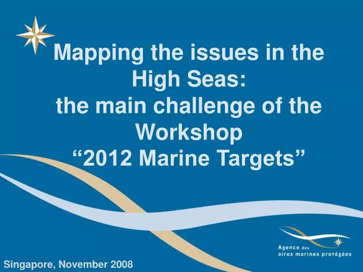
Mapping the issues in the High Seas: the main challenge of the Workshop “2012 Marine Targets”. Singapore, November 2008. Global context of this workshop. Implementing marine protected areas or a new governance of the biodiversity in the high seas by the next decade.

E N D
Mapping the issues in the High Seas: the main challenge of the Workshop “2012 Marine Targets” Singapore, November 2008
Global context of thisworkshop Implementing marine protected areas or a new governance of the biodiversity in the high seas by the next decade Particular context : Assessment and studies have to be integrated as far as possible to enhance a great approach based on the principles of the Sustainable Development : ecological, economical and social and the Ecosystem Based Management Approach This blue dark is not uniform Singapore, Nov. 2008
Going beyond legal aspects Developing strategic analysis by taking into account three points of view - Ecosystems - Habitats and species of special interest - Natural resources and human activities Collect data and convert in map Ecosystems Habitats and species of special interest Natural resources & human activities Fundamental questions What, Where, Who, How, Why, How many,... Singapore, Nov. 2008
What about stakeholders ? At each step of the process, stakeholders have to be associated and involved to : • improve collect data • achieve an appropriate scale (Regional vs Global) • - increase the value of the data and its reliability • share data in order to reach a common goal • contribute to the decision making GIS Process : Global cartographic synthesis Answers to fundamental questions Singapore, Nov. 2008
A global introduction, three main sessions SC : Adi Kellerman (ICES) Fisheries (FAO, NEAFC); Maritime Navigation (IMO, ECSA) SC : Charlotte Salpin (UN) New prospects (IFREMER, ISA) SC : Henning Von Nordheim (BfN Germany) Census of Marine Life, Species richness, Marinemammals, Strategies for implementing MPA’s SC : David Johnson (OSPAR) CBD Criteria, mapping ecosystems in OSPAR area, In Indian Ocean, Bathymetric knowledge, Sharing the knowledge More work to increase this first step and get more data and more maps and to improve the analysis of what is at stake in ABNJ ?
http://www.aires-marines.fr Singapore, November 2008