Download

1 / 10

E N D
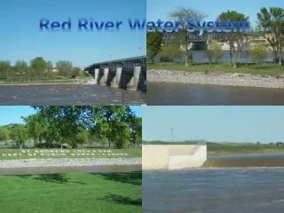
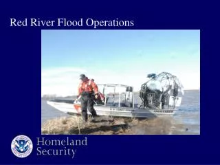
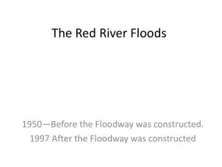
Lock and Dam St. Andrews Lock and dam is the proper name of the Lock and Dam that is located 27 kilometres north of Winnipeg. The Lock and Dam’s purpose is to flood Lister Rapids on the Red River to allow the passage of deep . The Lock and Dam works by setting a metal curtain in front of the river to prevent it from flowing. Then the vessels can come to the dam and go through the lock that the boat drives into then gets lowered to the other side. The Lock and Dam was built in 1910 by the Public Works and Government Services Canada (Government), to this day they own the dam. Red River Floodway The Red River Floodway is a man made canal built to maintain water levels in the city of Winnipeg at a safe level. The way it works is that is opened when there is a flood danger to Winnipeg and so it redirects much of the Red River around Winnipeg keeping Winnipeg's water levels lower. It is located mostly east of Winnipeg though it is also north-east and south-east of Winnipeg where the canal connects to the Red River.
Watersheds A watershed is the entire geographical area drained by a river and its tributaries; an area characterized by all runoff being conveyed to the same outlet. Pembina Valley Watershed. Red River Watershed
My Thoughts These technologies have helped Manitoba this year. Reason being the floodway takes large of amounts of water away from Winnipeg. This prevents the flooding which would be catastrophic because so many parts of Winnipeg would be affected by this. The Lock and Dam I find is helpful because it allows boats on the Red River to pass by the Lister Rapids. However I find the floodway brings a great change to many animals habitats. As well the Lock and Dam should not have been built just to provide boats with an easy way across the rapids.
Oak Hammock Marsh The Oak Hammock March area began draining in 1897 and had been finished by the early sixties because the government wanted more farmland. There was concern about not having the marsh there because it had reduced flooding as well as providing a wonderful area for wild life. Without this area many wild life animals died or were forced away. The area was began to get remade in 1974. In 1984 they had another large expansion to Oak Hammock Marsh. Various species abide at the Oak Hammock Marsh including the Snowy Owl, Canada Goose, Great Gray Owl, Tundra Swan, Mallard duck, Northern Harrier, Least Bittern, Woodpeckers, Short-eared Owl, and American Avocet. We participated in three programs while at Oak Hammock Marsh, the Explorer program, the Star Gazing program, and the Canoe Program. My Thoughts At Oak Hammock Marsh I did many things. I learned how to eat cattails which eventually led to a short addiction for the rest of the trip. I also learned about the constellations, this resulted in some stargazing lying out on the picnic tables before we went to sleep. As well I went walking down the paths, hanging out with my buddies at the same time. I stole drakes mat, he took my pillow, figured out the best way to sleep on the floor among other things. The highlight of everything though, definitely listening to Dusty tell stories.
Fort Whyte’s History and Purpose The Fort Whyte area was first a clay pit mine. Then in the 1950s the building was built and turned into a nature center. The first Fort Whyte building was built in the 1980s. Fort Whyte’s role in the ecosystem is to provide a place for animals to live. As well Fort Whyte provides oxygen and helps with climate change. Programs At Fort Whyte we participated in the Blue Planet Program. The best time of year to visit Fort Whyte is in the spring when all the animals are active. Also the fall is nice because of all the leaves on the trees.
St. Leon Windmill Information Each of the turbine’s at St. Leon cost about 2.5 million, with annual payments of 4000 to the farmers they have leased the land for the windmills land from. Right now in St. Leon area the electricity that is being produced 99 megawatts. The windmills are producing energy when the wind is at 10km/h, at this wind speed or at any other the turn 14 times per minute. This energy is more better for the environment that coal fired energy because windmills do not release as much Carbon Dioxide. In storms there are sometimes problems though because lightening might strike the windmills, for this reason they have put lightening rods on the windmills. The power generated is sent to a substation, and then to the hydro grid of Manitoba. Another source of power in Manitoba is Hydro, which is made from Hydro dams. My favourite part about the visit to the St. Leon Windmills was seeing the windmill up so close for the first time. Reason being we as a family have never went through St. Leon before.