Download
1 / 33
350 likes | 530 Views
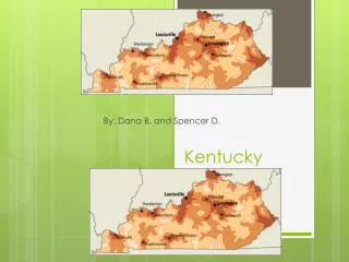
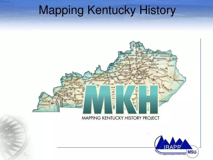
Mapping Kentucky History. The MKH Challenge. Obtain geographical coordinates to the Kentucky Roadside Markers Use cutting-edge technologies such as Global Positioning Systems and Geographical Information System Learn about Kentucky’s rich historical heritage.

E N D
The MKH Challenge • Obtain geographical coordinates to the Kentucky Roadside Markers • Use cutting-edge technologies such as Global Positioning Systems and Geographical Information System • Learn about Kentucky’s rich historical heritage
Kentucky Historical Markers Database • Maintained by Kentucky Historical Society and Kentucky Department of Transportation Click on a the map to jump to the interactive map for Kentucky.
Historical Markers Front Back
Global Positioning System - a system of satellites that transmits signals used by special receivers on the ground for precise determination of location, sometimes within meters. Data can include elevation, location, and speed. What Is GPS?
Ranging, why are 3 needed? GPS Satellite
Why is the system not perfect? • Error sources • Atmospheric • Multipath scatter • Positional error • Cheap GPS Units • Limited satellite channels • Poor internal processors
One solution to the Error – Differential GPS • Use two receivers to eliminate much of the signal error • Increases accuracy to a few centimeters with good units
Consumer GPS Hardware (Cheap) • Consumer-grade • Garmin III plus • >3 meter accuracy • eTrex • Garmin V • <3 meter accuracy 95% of the time • WAAS • GPSMAP 60Cx
Survey-Grade GPS (Expensive) • Survey Grade • Thales Promark2 • Navigation • WAAS <3 m • Post-processing • <1 cm • Kinematic • ~1 cm • Trimble GNSS
GPS Uses • Navigation: • Air & sea navigation • Emergency Services Locating • Airplane landing systems • Car-based direction services. • Mapping • People & places • Animal/plant locations • Historical Markers!
Turn on & lock onto signals • Push Power Button & Wait
For training inside – turn on simulation mode Press Menu Press Enter To get past splash screen
Satellite Accuracy Satellites’ position in the Satellite constellation Satellite Signal Strength Degree Minute Second Coordinate system
To change coordinate systems – Press Menu Twice Decimal Degrees Coordinate system
Press quit twice To return to main screen
Some GPS tips: • Know how to read the accuracy of the GPS and obtain the most accurate readings. • Thick trees and buildings block GPS receivers from receiving signals from satellites. • Be patient. GPS units require 5-10 minutes to obtain a location after being turned on.
The MKH Team Packet • GARMIN GPS 72 • Instruction Manuals • Morehead State University Pencil • File Folder • Obtaining GPS Coordinate Flowchart • Historical Marker Data Entry Form • Brochures • Free pass to Kentucky History Center
Data Entry Form Elevation 1 Latitude/ Longitude Degrees Elevation 2 Latitude/ LongitudeMinutes Latitude/ Longitude Decimal Degrees Latitude/ Longitude Seconds Known Location Description
Data Entry Form Marker Text Front Marker Text Back
Data Entry Form Email Photos Photo and Additional Comments Tell us about yourself
Height Modernization in Kentucky Rebuilding Kentucky’s mapping infrastructure
Kentucky Place Names Project GNISGeographic Names Information System “Words have meaning and Names have power” -Anonymous All Features Great And Small
Thank You The Kentucky Center for Geospatial Education, Research, & Outreach kcgero.org Institute for Regional Analysis and Public Policy(IRAPP) Center of Excellence, MSU AKentucky Program of Distinction http://irapp.morehead-st.edu