Download
1 / 20
200 likes | 226 Views
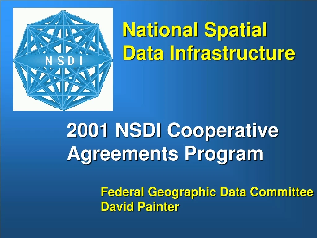
National Spatial Data Infrastructure. 2001 NSDI Cooperative Agreements Program. Federal Geographic Data Committee David Painter. CAP projects (1994 - 2000). clearinghouse implementations metadata training metadata thematic implementations metadata tool development

E N D
National Spatial Data Infrastructure 2001 NSDI Cooperative Agreements Program Federal Geographic Data Committee David Painter
CAP projects (1994 - 2000) • clearinghouse implementations • metadata training • metadata thematic implementations • metadata tool development • educational outreach • framework implementations • standards development & implementation • establishment of coordination groups • web mapping testbed software development • U.S & Canadian collaboration
CAP Guidelines • Fund new organizations • Funding at seed level • Fund proven solutions • Sustainable projects • Encourage/require: • Partnerships • In-kind resource match
CAP Guidelines • Fund infrastructure development - Not data collection - Not GIS startup or upgrades • Cooperative agreement not contract, not pure grant • Year performance period • Project outcomes measurable
CAP - Federal participants • Federal & non-federal cannot compete (separate $ allocations) • Some agencies cannot participate • Federal organizations must budget funding for following FY • NBII funding contribution
100 90 80 70 60 50 40 30 20 10 0 NSDI Cooperative Agreement Program Funding & Awards 2500 2000 1500 Awards Funds Thousaands $ 1000 500 0 1994 1995 1996 1997 1998 1999 2000 ~ $9 M Since 1994 Awards Funds Over 300 awards involving over 900 organizations
CAP sector participation State government • Academic institutions • Federal agencies • County & city government • Regional organizations • Tribal government • Private business
“Don’t Duck Metadata”CAP Metadata Assistance Program 2000 1999
NSDI Framework Projects 1996 1997 1998 2000
2001 Cooperative Agreements Program (timeline) • November 2000 announcement • January-February 2001 open period • Awards April – May 2001 • www.fgdc.gov on-line information
2001 CAP Project Categories • Metadata training and assistance • Clearinghouse integration with Web Mapping • Canadian & US Framework Projects (US/CAN) • US Framework projects? $1,000,000 total funds
2001 CAP Don’t Duck Metadata • Category 1: Metadata implementation & creation • receive training, funding for metadata creation • 35 – 45 projects, <$6,000 • in-kind match %50 salaries • New organizations & framework themes priority • Category 2: Metadata trainer assistance • provide training (travel, facilities, materials) • up to $30,000 • 4 – 5 projects Applicable standards: Metadata - FGDC version 2 CSDGM or ISO 19115
2001 CAP Clearinghouse integration with Web Mapping • Category 3: Deploy web map client & server software for linking to and and viewing geospatial data from metadata in the Clearinghouse using embedded URL • Funding for consultants/software integrators • <$20,000 for 10 projects • 50% in-kind resource match Applicable standards: (1) Metadata - FGDC version 2 CSDGM or ISO 19115; (2) OpenGIS WMS 1.0 Web Mapping Services (3) Clearinghouse node registered with FGDC
2001 CAP Canadian/US Collaborative Framework Project • Category 5: Stimulate and build framework activities over a common international geography. • 1-2 projects up to $55,000 • 100% in-kind resource match & partnership required • FGDC and GeoConnections collaborative funding program • projects broadly address framework in technical, institutional, organizational, business contexts
Local agencies Federal agencies Utilities State agencies Regional agencies Private Companies Non- profits Elevation and bathymetry Hydrography Geodetic Cadastral Transportation Boundaries Digital orthoimagery Framework Implementation is a Priority • Data development, maintenance & integration • Data access • Data management • Coordination • Executive guidance • Resource management • Monitoring & response - necessary to build and maintain the framework
Possible Framework Avenues • Separate or addendum CAP later for US Framework • Standards development, specification & conformance • Hydrography, interoperability • Post grant analysis of CAP framework projects (RFP) • I-team support? • Framework Data Survey Server in the Clearinghouse • Education?
NCGIA CAP Survey Overall picture • Surveyed: awarded, not awarded, non-participant • Successful CAP projects • Significant development of metadata – clearinghouse • Correlated to number of GIS personnel • Spillovers (demonstration) to other organizations • Projects supported by post-grant investment • Grant improved in-house technical capacity • Majority ranked grant highly in success Preliminary report
NCGIA CAP Survey (findings) • Among Successful applicants: • 90% FGDC grants effective • Post grant investment $35,000 • 50% project spillover • Grants support 50-60% of costs • Most grants in government sector • Few grants in private sector • Grants highly contributive to project • Most grants new organizations • Most applicants intend to apply again • 65% of applicants would proceed regardless • 35% of applicants would not have proceeded • Chief benefit is support full-scale projects.
NCGIA CAP Survey (findings) • Among Unsuccessful applicants: • Employed smaller numbers of GIS personnel • Half of unsuccessful applicants proceeded with some variant of original proposal • With limited in-house GIS expertise, unsuccessful applicants were more likely to seek outside help from other organizations (consultants, academics, etc.) • Most unsuccessful applicants intend to apply to the CAP in the future
FGDC CAP Contacts Metadata - Richard Pearsall, 703.648.4532, rpearsall@usgs.gov Clearinghouse & Web Mapping - Doug Nebert, 703.648.4151, dnebert@usgs.gov Framework – Milo Robinson, 703.648.5162 mrobinson@usgs.gov CAP Program - David Painter 703.648.5513, dpainter@usgs.gov