Download
1 / 16
160 likes | 284 Views
Water Erosion. Chapter 3 Section 2. Standard. S 6.2.a – Students know water running downhill is the dominant process in shaping the landscape S6.2.b- Students know rivers and streams are dynamic systems that erode, transport sediment in natural and recurring patterns. . Anticipatory Set .

E N D
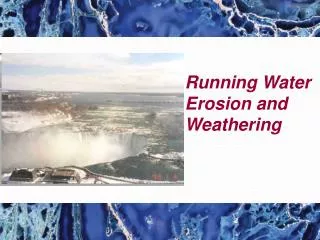
Water Erosion Chapter 3 Section 2
Standard • S 6.2.a – Students know water running downhill is the dominant process in shaping the landscape • S6.2.b- Students know rivers and streams are dynamic systems that erode, transport sediment in natural and recurring patterns.
Anticipatory Set • Record how many drops a faucet releases in 1 minute • Place one bar of soap in a dry place • Place one bar of soap in a wet place • Let this go on for 10 minutes • What happened after 10 minutes to each bar of soap?
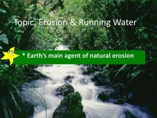
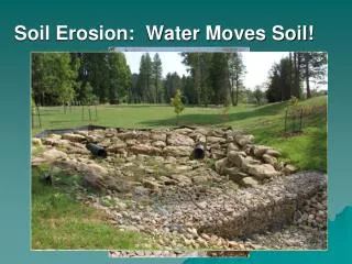
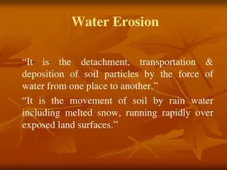
Vocabulary • Runoff-water that moves over earth’s surface • Rill- runoff forms tiny grooves in the soil • Gully- large groove, or channel that carries runoff from storms. • Stream- a channel that water is flowing down a slope • Energy- the ability to do work or cause change
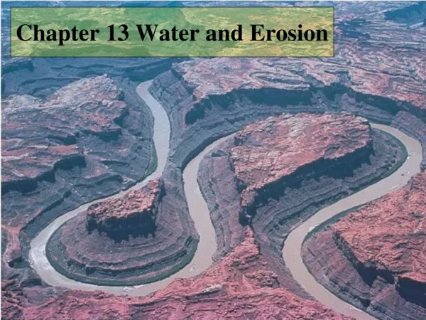
VocabularyLanguage of the Discipline • Flood plain- flat, wide area of land along a river • Meander- loop-like bend in the course of a river • Oxbow lake- a meander that has been cut off from the river • Alluvial fan- a wide, sloping deposit of sediment- formed when a stream leaves a mountain range • Delta- sediment deposited where a river flows into a lake builds up a landform • Load- the amount of sediment that a river carries
Input • Summer- water running, pebbles and sand move at the bottom of the river, it carries leaves downstream. Insects drink from the river • Winter- the stream freezes, chunks of ice grig away at the stream bed and banks. • Spring- stream floods and may be strong enough to move large rocks. • Streams- cause erosion because of the sediments it carries
Input • Runoff- water that moves over Earth’s surface. • Runoff that flows in a thin layer over the land is called sheet erosion. • 5 factors • Amount of rain • Vegetation • Type of soil • Shape of land • How people use the land
Input • During sheet erosion, runoff forms tiny grooves called rills • Sheet Erosion- begins when runoff from rainfall flows in a thin layer over the land • A gully is a large groove that carries runoff from a rainstorm. • It moves soil and rocks only after it has rained. • Stream- continually flowing down a slope • Starts off as a stream, then becomes a river as it gets bigger. • Tributary- a stream or river that runs into another stream or river.
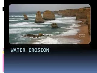
Input • Waterfalls- occurs when a river meets hard rock and erodes it slowly. It flows over the rock and then flows over softer rock downstream. • Softer rock wears away faster than harder rock • Floodplain- flat, wide area of land. This occurs when it overflows its banks during flooding
Input • Meanders- loop like bend in the course of a river. • It erodes the outer bank and deposit sediment on the inner bank of a bend. • It can erode a wide flood plain. It’s channel is deep and wide • Oxbow Lakes- meander that has been cut from the river. Forms when a river floods. • When flood waters fall sediments dam up the ends of a meander and it has become an oxbow lake.
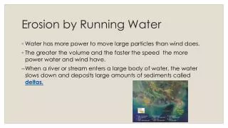
Input • Deposition creates landforms such as alluvial fans and deltas. It can also add soil to a river’s flood plain. • Alluvial fans- wide, sloping deposit of sediment formed when a stream leaves a mountain range. • Flows out of steep and narrow mountain range and suddenly becomes wider and shallower. • Deltas- sediment (deposition) deposit where a river flows into an ocean or lake builds up a landform. • Delta of the Nile in Egypt is shaped like a triangle. They can be all different shapes.
Checking for Understanding • What is a gully? • What is a flood plain? • What is a meander? • Describe a delta
Guided PracticeIndependent Practice • GP- page 56 # 1-19 • Stop and have teacher look at answers • IP- Water Erosion Worksheet