Download
1 / 15
150 likes | 156 Views
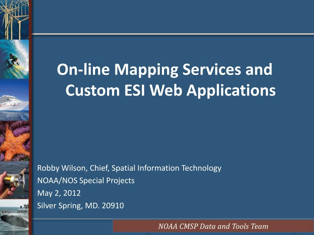
On-line Mapping Services and Custom ESI Web Applications Robby Wilson, Chief, Spatial Information Technology NOAA/NOS Special Projects May 2, 2012 Silver Spring, MD. 20910. SPO Agenda. Robby (8-10 mins )

E N D
On-line Mapping Services and Custom ESI Web Applications Robby Wilson, Chief, Spatial Information Technology NOAA/NOS Special Projects May 2, 2012 Silver Spring, MD. 20910
SPO Agenda Robby (8-10 mins) (overview @ SPO, web services, leveraging services to build the NOAA CMSP Data Registry Tool) Robb Wright (20 mins) (packaging ESI pdfs as web services, capabilities & limitations of web services, demo) Nipa Parikh (20 mins) (ESI Shoreline as web service, migrating ESI data from desktop GIS app to a web service, demo)
Background • About Special Projects Office • Partnered with OR&R on GIS Projects • raster nautical server, NOS/DE, • DWH, ERMA, CMSP Data Registry • Active role in supporting ESI data http://specialprojects.nos.noaa.gov/ • Technology changes everything…web services & Cloud solutions (i.e.. ArcGIS Online) • Challenges us to rethink what and how we do business….. especially wrt older fat/thin client GIS applications and kitchen sink GIS web applications….. • 99% of what we know is in a digital format
MakingData Discoverable via Web Services Shared Geospatial Resources Standards Support Open Service Specifications Access Authoritative Data Easily Discovered Easy to Use Clients Services A WMS request defines the geographic layer(s) and area of interest to be processed. The response to the request is one or more geo-registered map images (returned as JPEG, PNG, etc) that can be displayed in a browser application. Government Content Open Access to Many New Users & Applications
Leverage the OGC Services in ArcGIS Server Non-Esri Clients ArcGIS Server OGC Services gvSig uDig Quantum GIS Gaia WMS Map Service Tiled Map Service Google Earth WMTS WCS Image Service OpenLayers WFS Feature Service GIS Cloud Geoprocessing Service WPS KML GeoNode GeoCommons
Find, get, store, reformat, open data. User User Tool Manual search across NOAA organizations NWS NESDIS NOS NMFS OAR OMAO Grantees Satellite Geodetic ESI Ship UAS Sonar Gauge Chart Model Fish Surveys Enforcement Marine Mammals ROV/UAV NOAA Labs
NOAA CMSP Data Registry: Keep it Simple Find NOAA Data: • Web presence • FGDC/ISO metadata record • Data download capability • Deemed essential for CMSP • Available as web service (+++) Package Data: • Packaged in thin client web app • and binned thematically • Converted to web services and hosted • Contains a metadata “lite” record • Published in ArcGIS 10 for data “mash-up” • Registered in ArcGIS Online
ESI in NOAA CMSP Data Registry ~ 50 NOAA baseline data sets Metadata lite Full Metadata record points to WAF (html, xml) Main web site (home page) Data download What’s missing? http://egisws02.nos.noaa.gov/cmspgisdataregistry/
Raster Navigational Charts in Data Registry Metadata lite REST/SOAP Services (ArcMap, ArcGIS.com, ArcGIS JavaScript) WMS,WCS,WFS (WMS_Capabilities) Main web site (home page) Full Metadata record points to WAF (html, xml) View RNC as “single” service in ArcGIS.com KML Data download
Supports a Data “mash-up” in ArcGIS Online Multiple data layers are packaged and grouped into a single service
Migrate NOAA Data to oceans.data.gov http://www.data.gov/communities/ocean
Conclusion • Leveraging data to web mapping services • Improves data sharing and coordination • Easily consumable by GIS and non-GIS users • Light weight technology and leverages off Cloud services • Provides access to “authoritative” source data • Supports user defined data mash-ups If you’re not doing something different you’re not doing anything at all… Edward Tufte